Pinenut Mine Life Cycle
Soil-profile samples collected at Pinenut mine sites represent conditions during active mining.
Measurements and analysis of hydrogeochemical conditions and soil–plant cycling can aid understanding of unsaturated-zone processes that affect uranium movement into soils, retention in soils, and potential transport from soils to surficial ecosystems and underlying groundwater. When breccia pipe ore is extracted and exposed at land surface, uranium and other toxic elements may be redistributed within and around the mine site by blowing dust and surface-water runoff. Comparative analyses of water and uranium movement (fluxes) under varying mine life-cycle conditions will help to determine how mining operations and reclamation activities affect the amount, distribution, and transport of elements in the soil profile, and will allow for a quantitative assessment of potential pathways for subsequent transport into the environment and biota.
Questions this study could help answer
What are the hydrologic and geochemical conditions at sites that represent different stages of the mine life cycle, and how do these conditions vary in space and in time within and among sites?
What are the water- and uranium-flux rates and directions at the sites, and how do these fluxes vary among sites and with time (seasonal, annual, decadal)?
How do soil-plant-atmosphere continuum processes affect water and chemical transport at the sites, and what are the associated implications for exposure pathways of mine byproducts?
Objectives
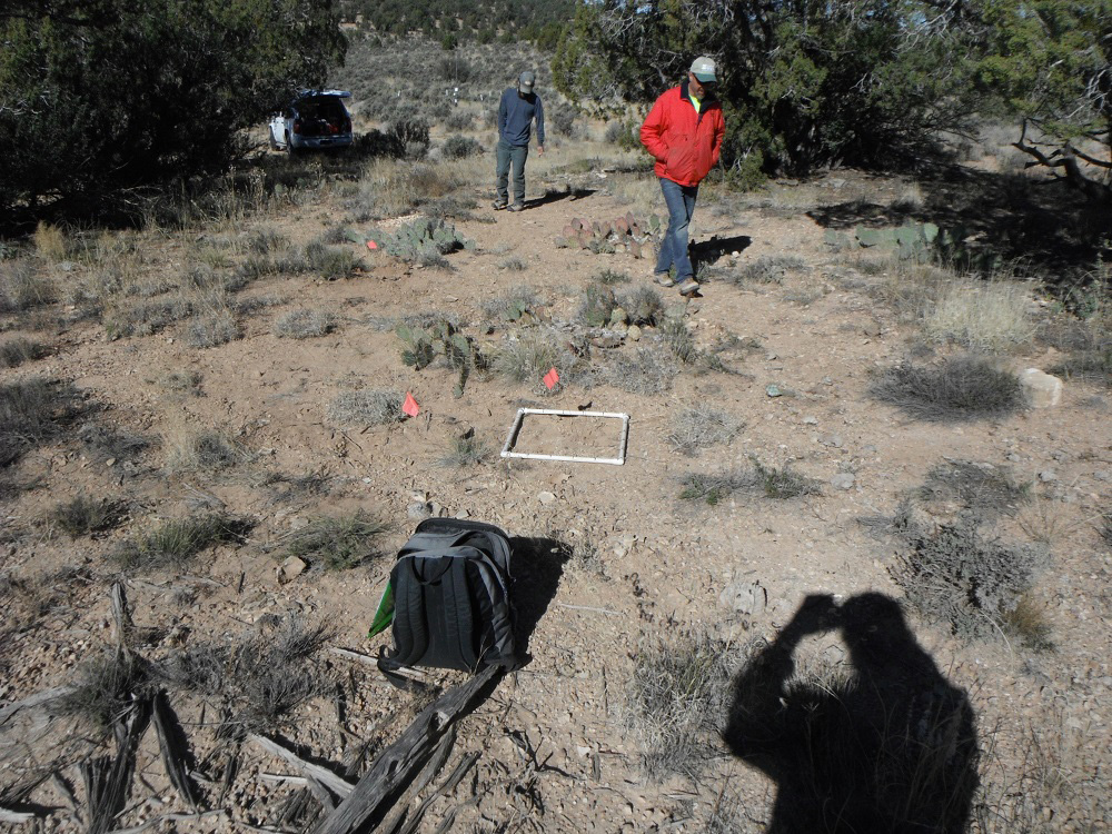
Collect soil-profile samples in April and November 2018 at sites representing conditions:
Analyze samples to characterize hydrogeochemical conditions and physical properties that can affect unsaturated-zone flow and chemical transport1.
Combine sample data, along with element-concentration, plant-community, and weather data, with mechanistic and empirical modeling to quantify water and uranium fluxes at the different sites.
Compare results from this analysis to understand the degree to which fluxes vary in relation to mine-life cycle conditions and other factors.
Ongoing
Task 7b: Collect/analyze water and sediment samples Task 7d: Collect/analyze soils including deeper horizons to characterize vertical distributions Task 11: Characterize the wind dispersion characteristics of uranium and trace elements associated with uranium mining and the subsequent risk to biota.
1 Kauble, R.K., Andraski, B.J., Green, C.T., and Walton-Day, K., 2021, Soil sample data for four uranium mine sites, Mohave County, Arizona, April and November 2018: U.S. Geological Survey data release, https://doi.org/10.5066/P9B8I7KC.
Brian Andraski
Research Hydrologist
Nevada Water Science Center
775.887.7636
[email protected]
Chris Green
Research Hydrologist
Integrated Modeling and Prediction Division
650.329.4728
[email protected]