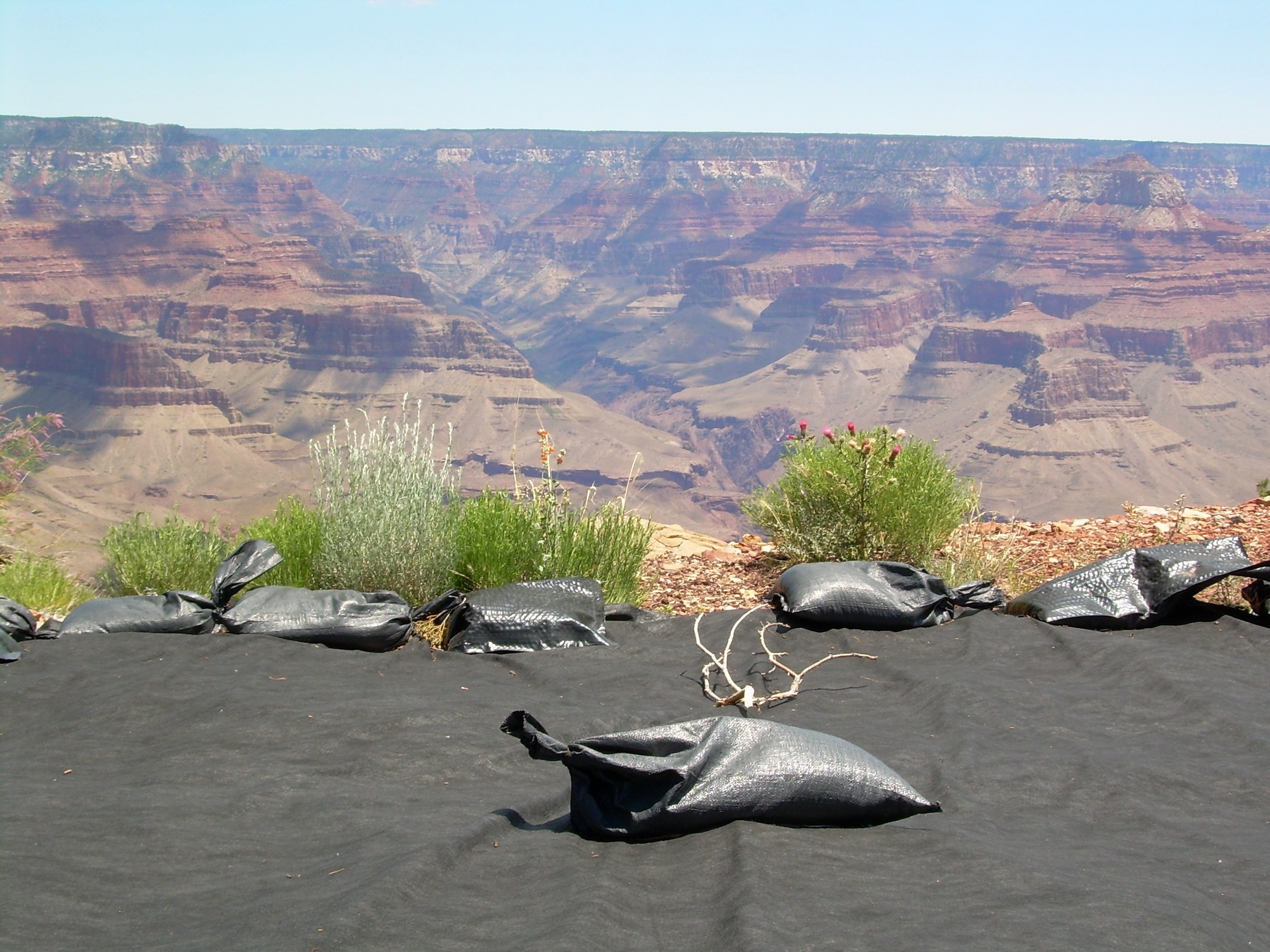
The Orphan Mine is located on the South Rim of the Grand Canyon below Maricopa Point in Grand Canyon National Park, Coconino County, Arizona. In the early twentieth century it was briefly mined for copper. In 1956, uranium production began, and by the time mining was completed in 1969, approximately 495,106 tons of ore yielding 4,257,571 pounds of uranium oxide had been produced1. There was no reclamation when the mine closed2.
In 2009, the National Park Service (NPS) completed removal of mining equipment and debris at the surface. NPS has performed preliminary environmental investigations of the upper mine area and determined that further evaluation of the site pursuant to the Comprehensive Environmental Response, Compensation, and Liability Act (CERCLA) is needed. NPS is currently conducting studies to determine whether CERCLA cleanup is needed to reduce potential risks posed by hazardous substances present at the site. This Engineering Evaluation/Cost Analysis report should be available for public review and comment near the end of 20193.
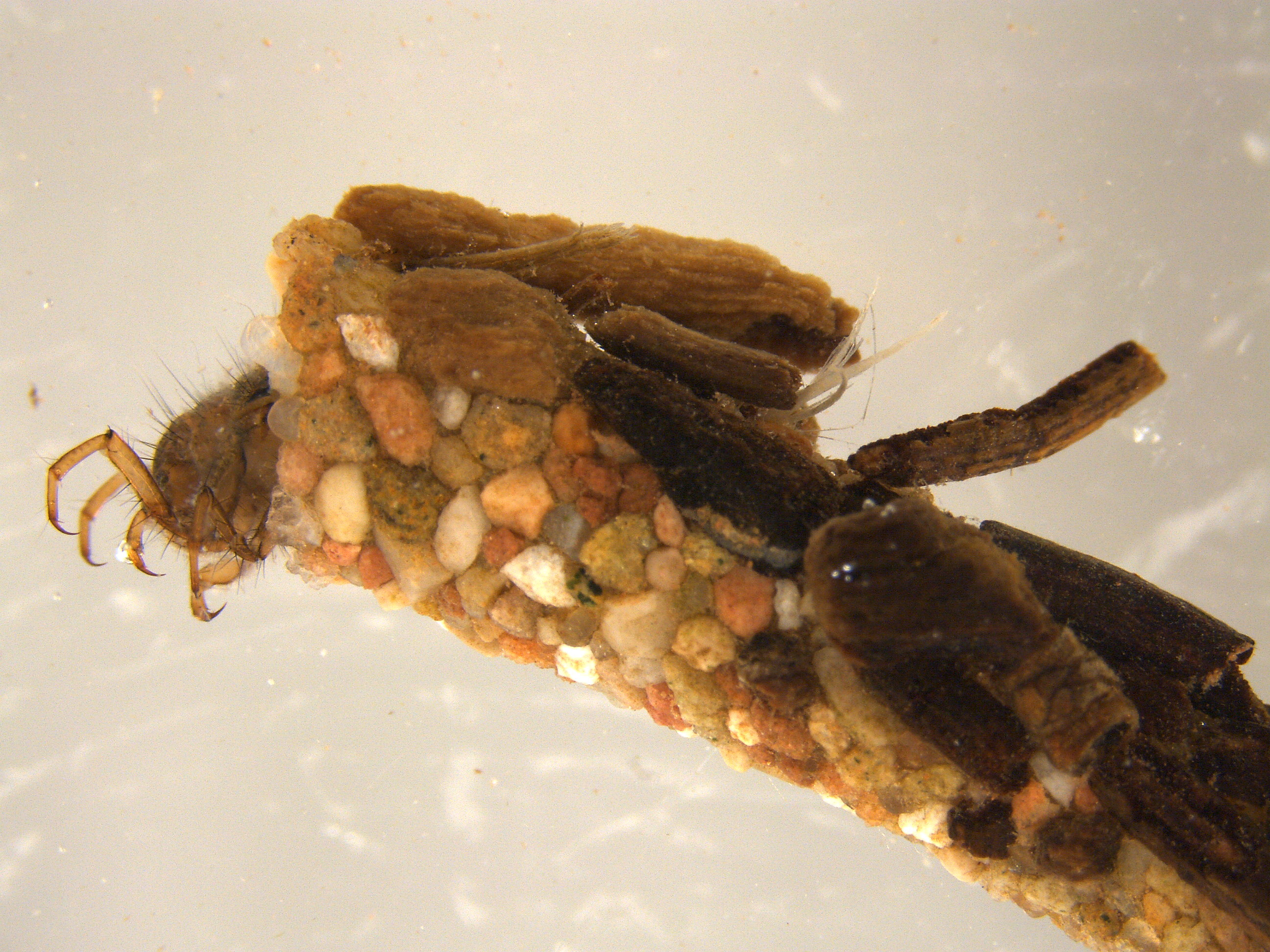
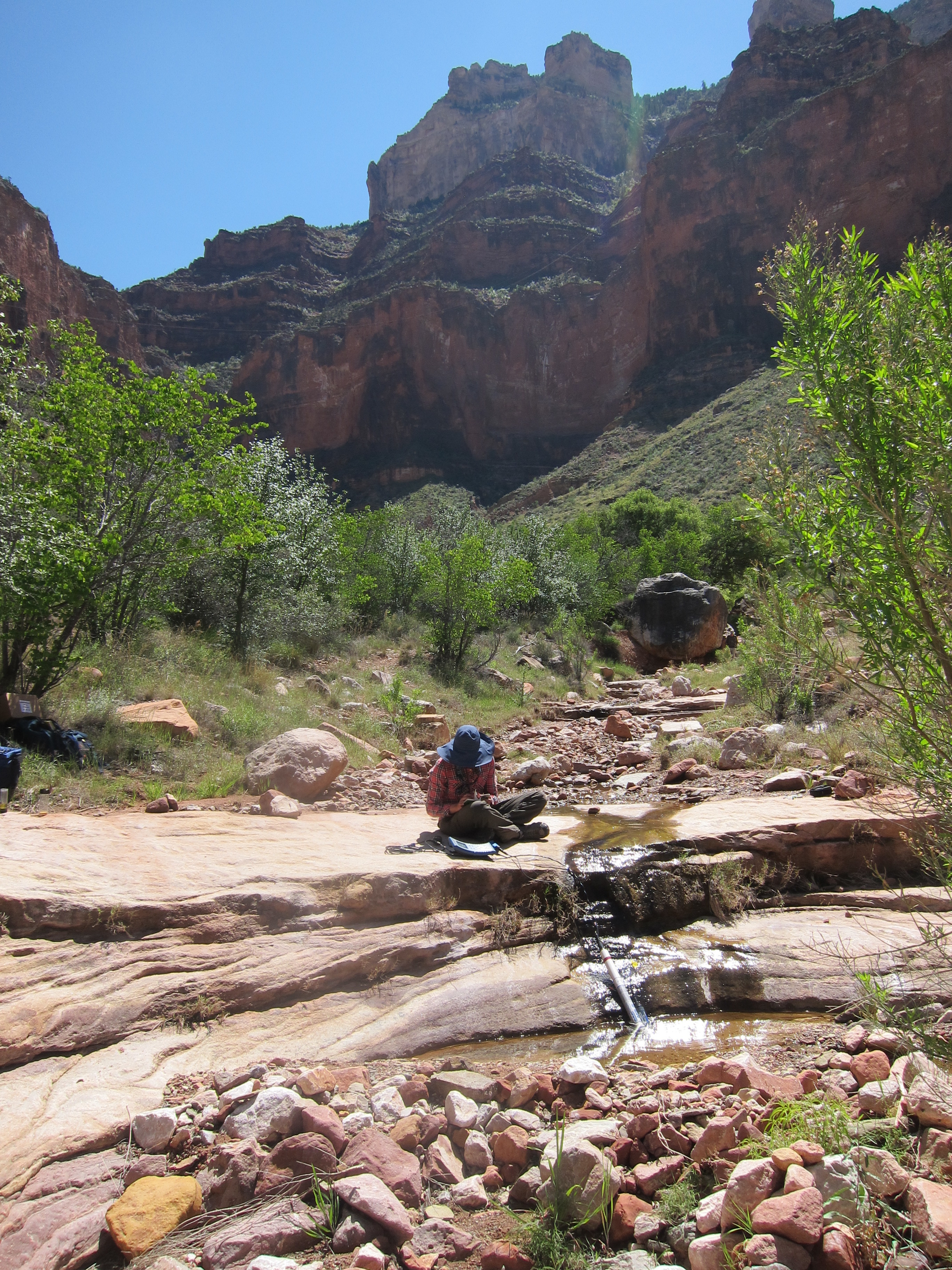
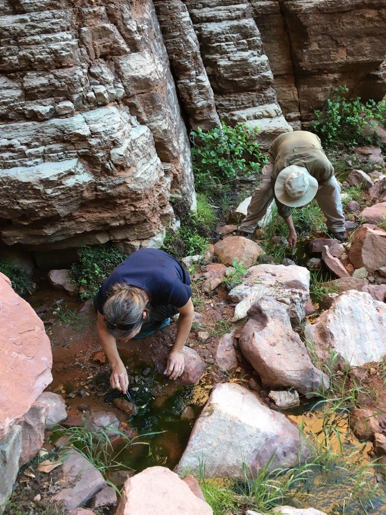
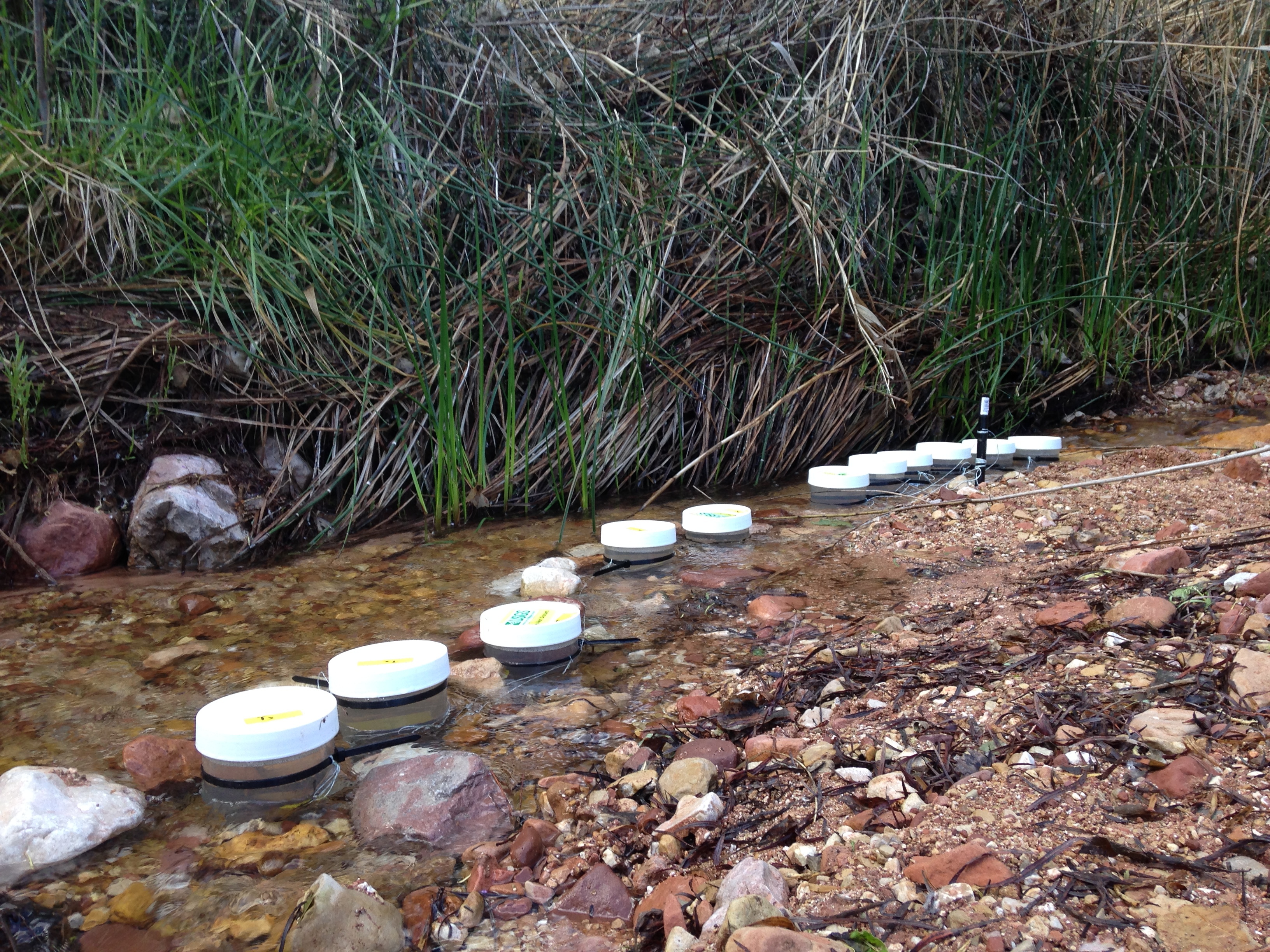
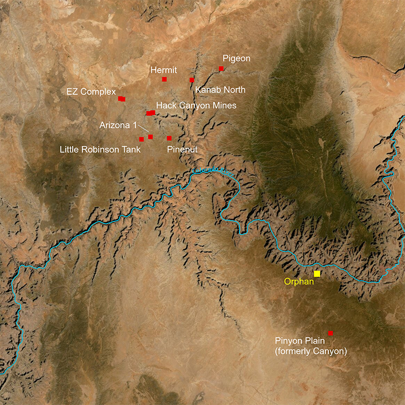
USGS scientists are studying bioaccumulation of uranium (uptake of uranium by aquatic insects) in areas including the upper reaches of Horn Creek which begins as springs down gradient from the Orphan mine area.

Click on image for a larger version.
Base map images are the intellectual property of Esri and are used herein under license. Copyright © 2016 Esri and its licensors. All rights reserved.
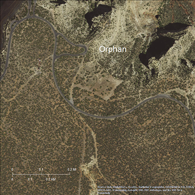
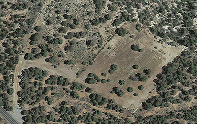
Click on image for a larger version.
Base map images are the intellectual property of Esri and are used herein under license. Copyright © 2016 Esri and its licensors. All rights reserved.

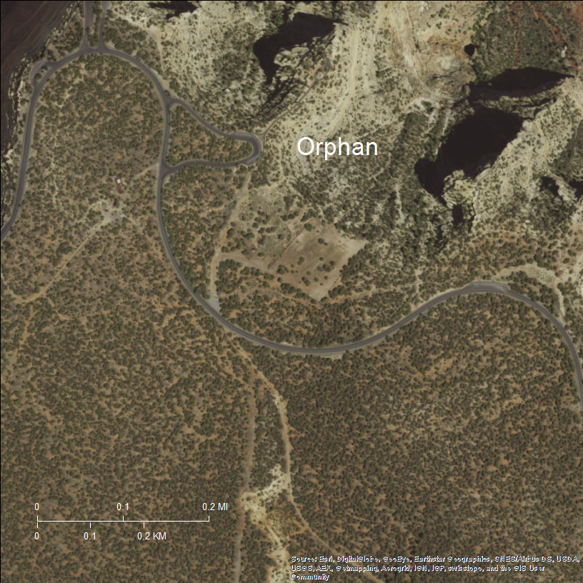
Click on image for a larger version.
Base map data from Google, U.S. Geological Survey, 1992.
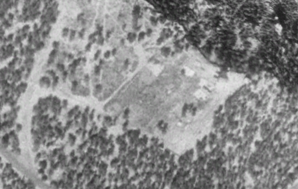
Base map data from Google, U.S. Geological Survey, 1992.
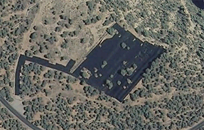
Click on image for a larger version.
Base map data from Google, USDA Farm Service Agency, 2010.
Base map data from Google, USDA Farm Service Agency, 2010.
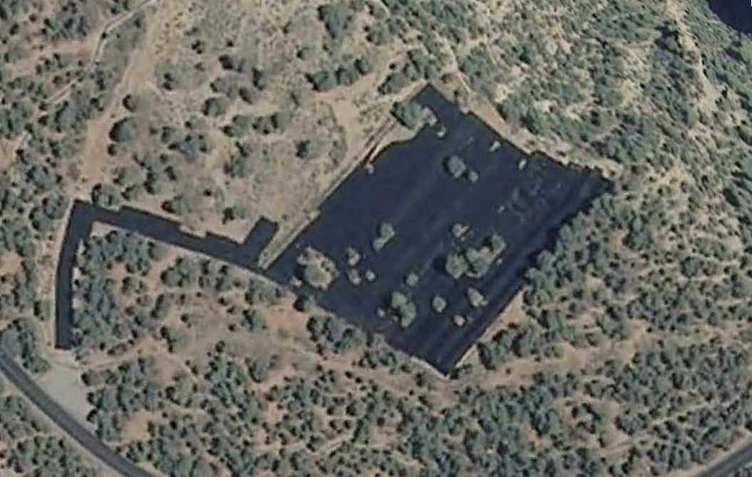
Click on image for a larger version.
Base map data from Google, 2017.
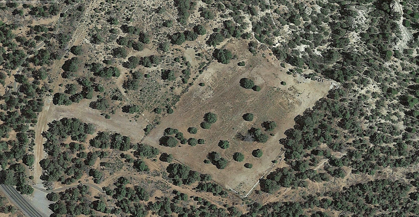
Base map data from Google, 2017.
Sources:
1 Chenoweth, W.L., 1986, The Orphan Lode mine, Grand Canyon, Arizona—A case history of a mineralized, collapse-breccia pipe: U.S. Geological Survey Open-File Report 86–510, 91 p., with 35 p. appendix
2 U.S. Bureau of Land Management, 2012, Northern Arizona mineral withdrawal:Final environmental impact statement, v. 1, chapter 3, https://www.grandcanyontrust.org/sites/default/files/resources/gc_FEIS_Northern_Arizona_Proposed_Withdrawal.pdf
3 National Park Service, 2016, Orphan Mine Site 2016 Soil Investigation: Community Fact Sheet, https://npshistory.com/publications/grca/orphan-mine-2016.pdf