
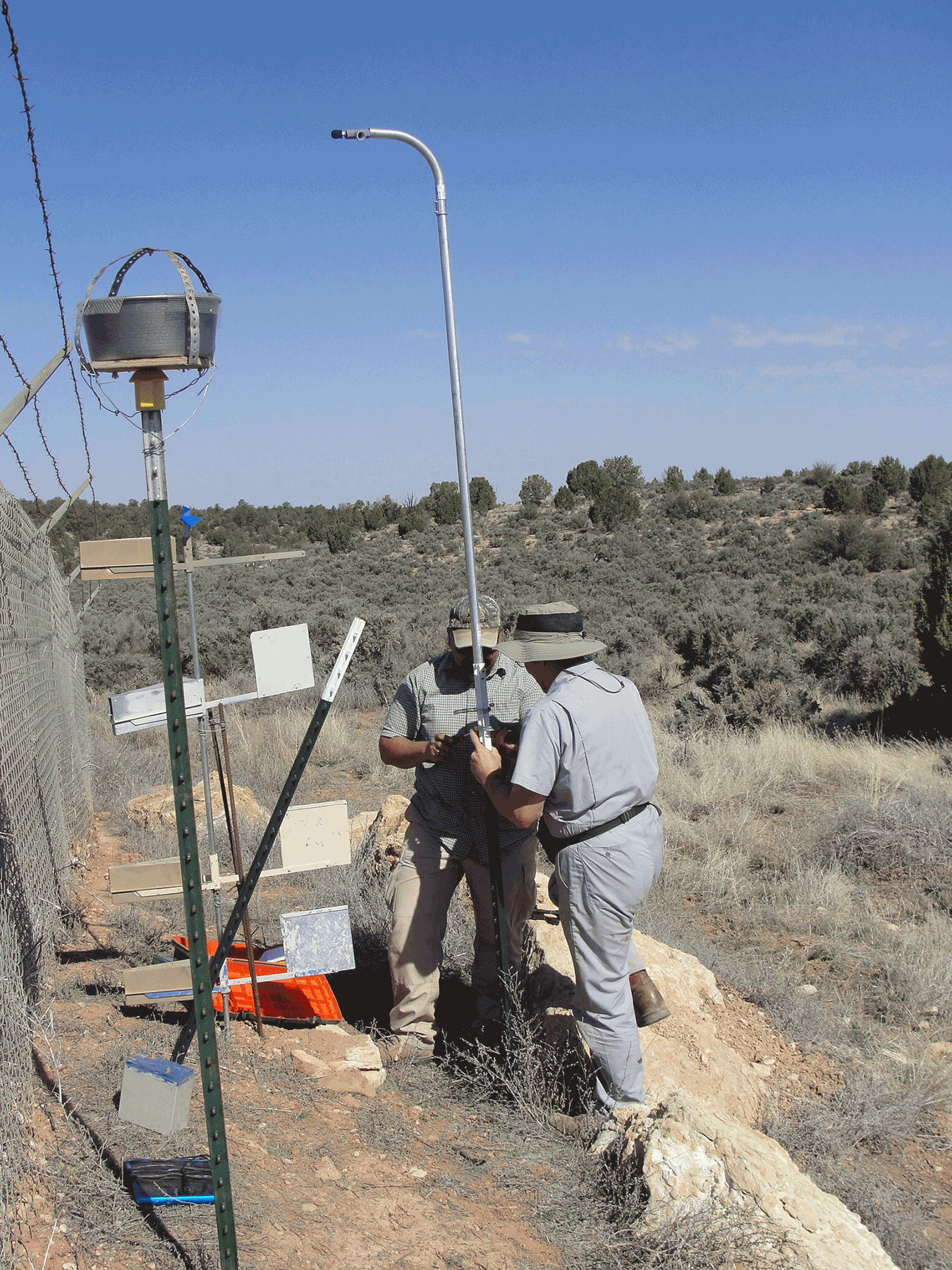
USGS scientists Ernie Valdez and Greg Linder deploying bat acoustic monitors. April 2015. Photo credit: Jo Ellen Hinck , USGS .
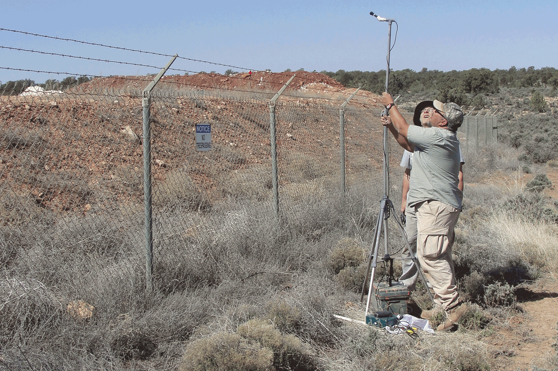
USGS scientist Ernie Valdez setting up recorder for bat acoustic research. April 2015. Photo credit: Jo Ellen Hinck , USGS .
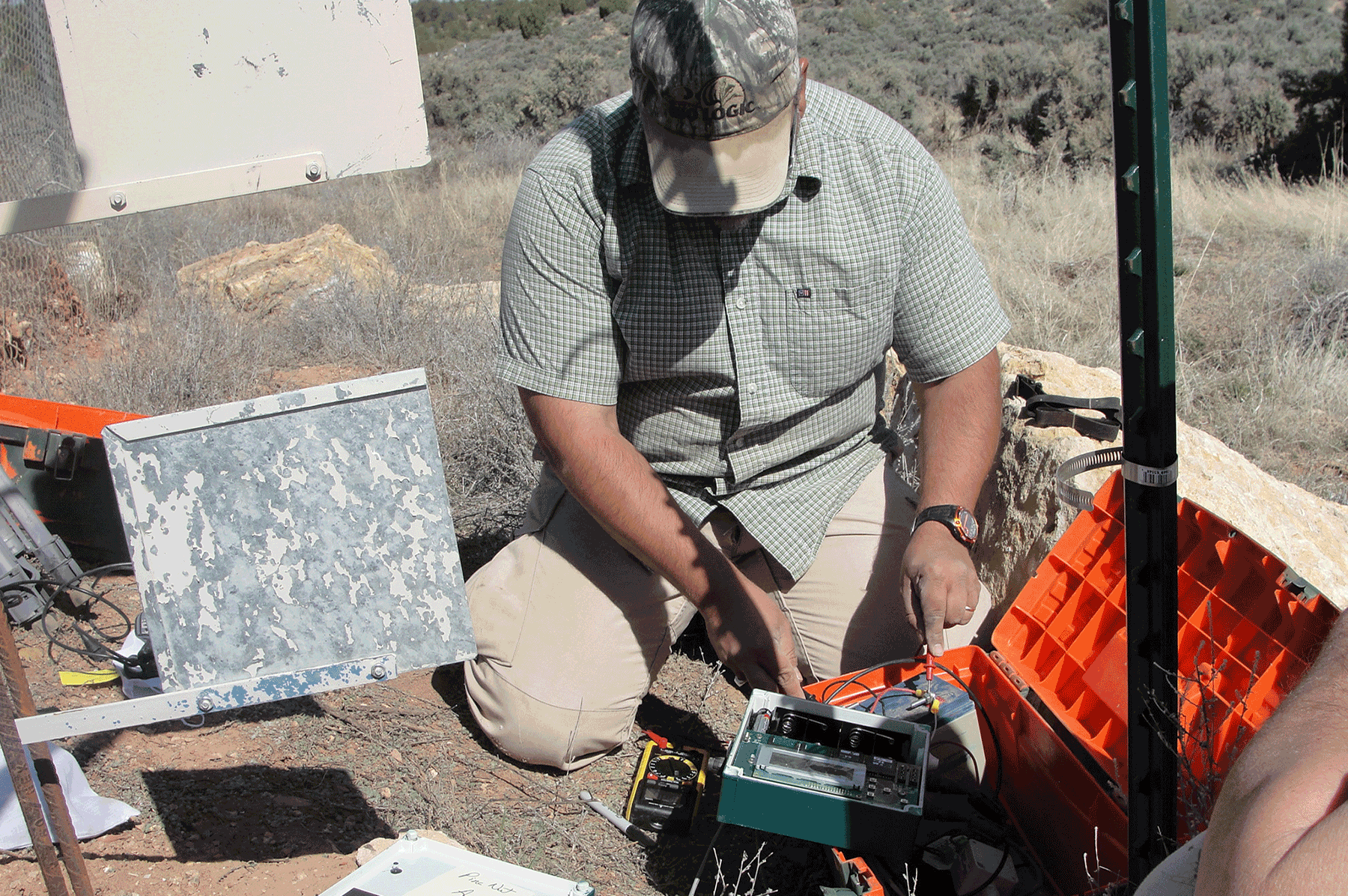
USGS scientist Ernie Valdez adjusting microphone on bat acoustic monitor. April 2015. Photo credit: Jo Ellen Hinck , USGS .
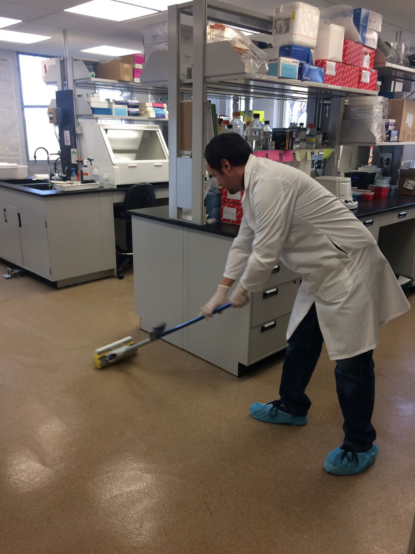
Nathan Thompson, USGS, decontaminates the laboratory prior to eDNA analysis. January 2017. Photo credit: Jo Ellen Hinck , USGS .
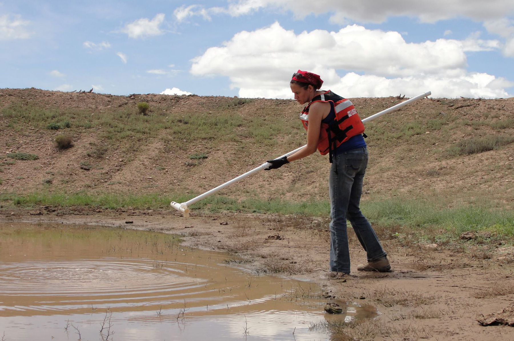
Katy Klymus, USGS, samples water for eDNA at a cattle tank. July 2017. Photo credit: Jo Ellen Hinck , USGS .
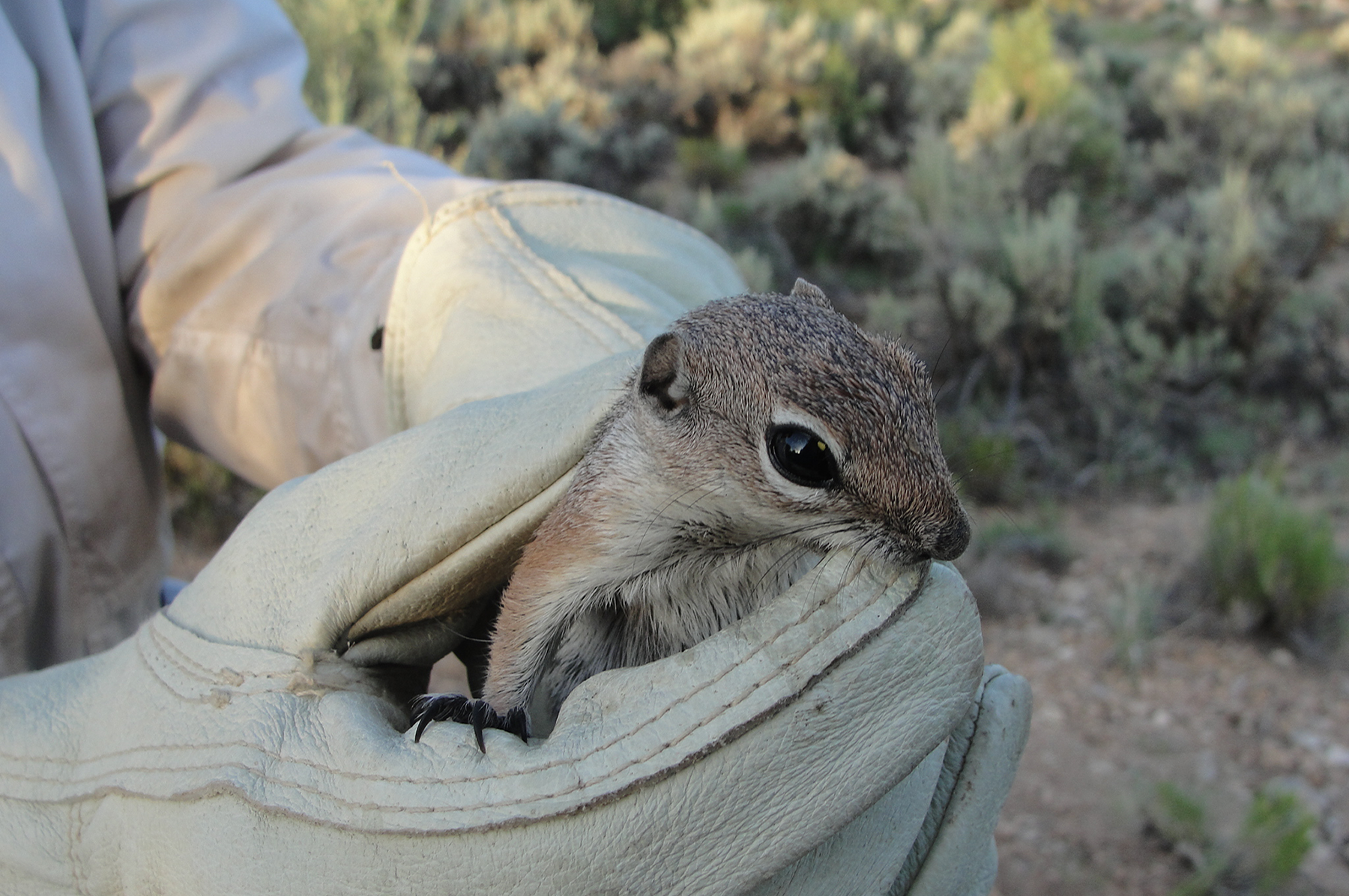
Cliff chipmunk collected outside of the Pinenut Mine. July 2015. Photo credit: Jo Ellen Hinck , USGS .
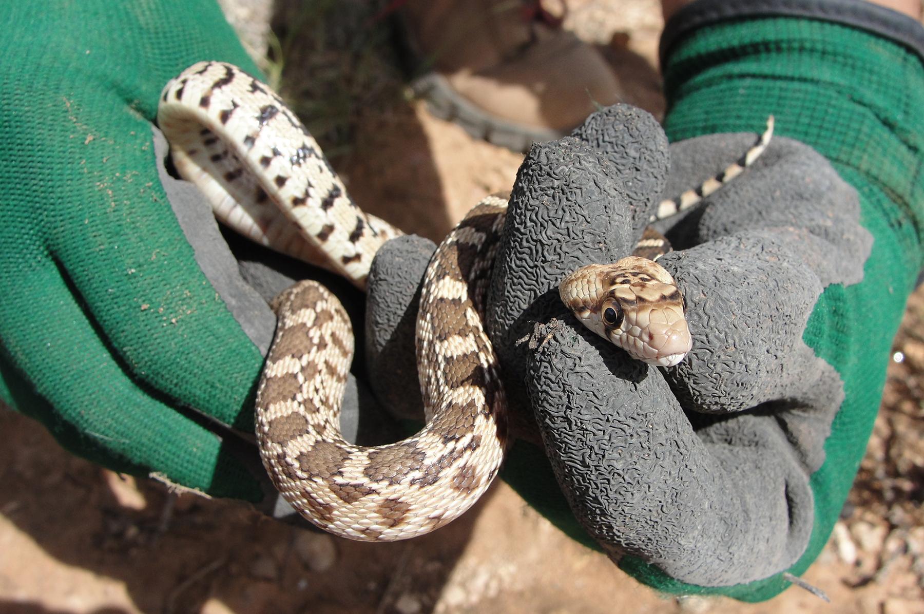
Small snake collected outside of the Pinenut Mine. July 2015. Photo credit: Jo Ellen Hinck , USGS .
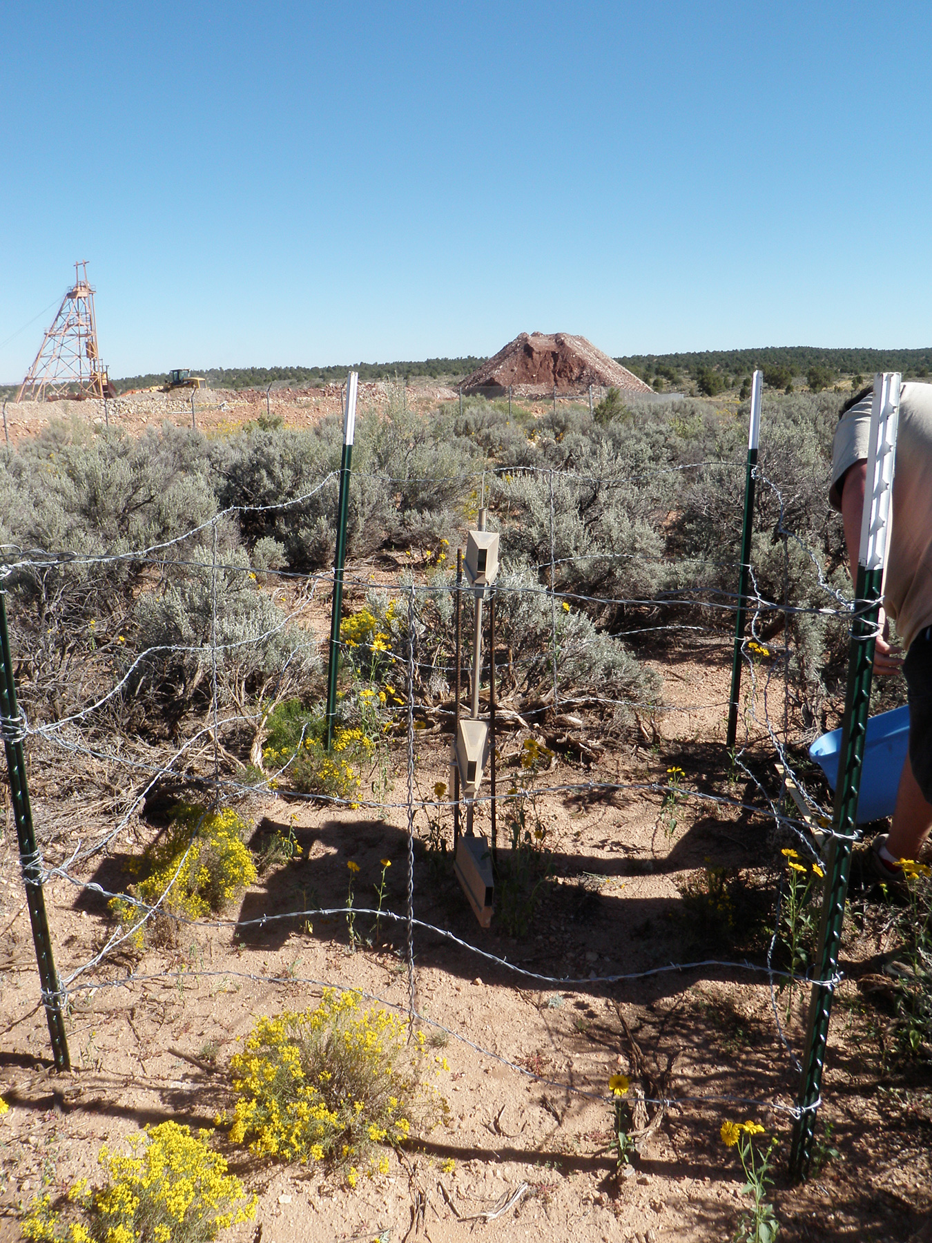
Aeolian sediment collectors at the Pinenut Mine on the Arizona Strip. September 2014. Photo credit: Mike Duniway , USGS .
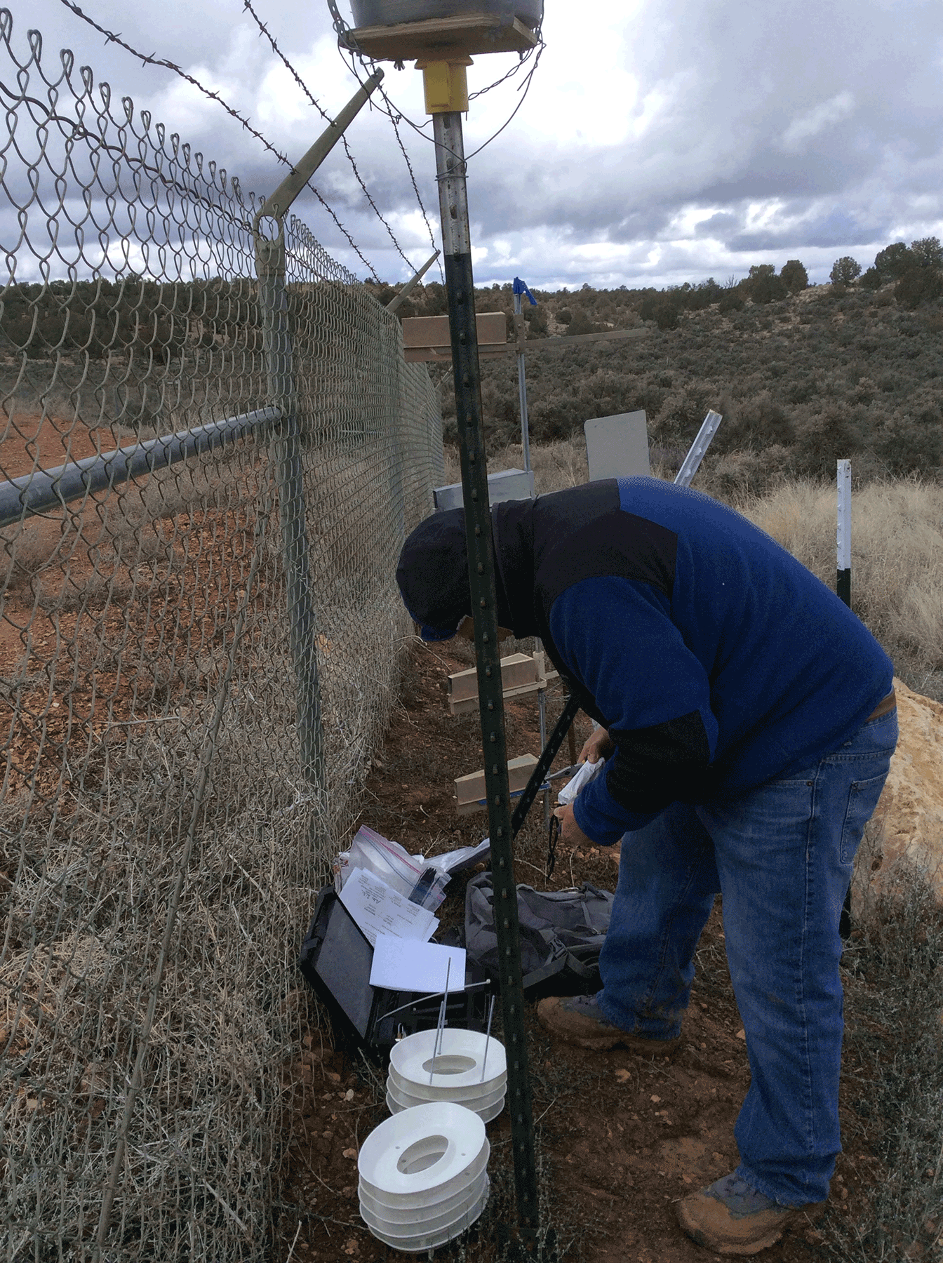
Deploying radon meter (white corrugated equipment on the ground) along the northern perimeter of the Pinenut mine. March 2015. Photo credit: Katie Walton-Day , USGS .
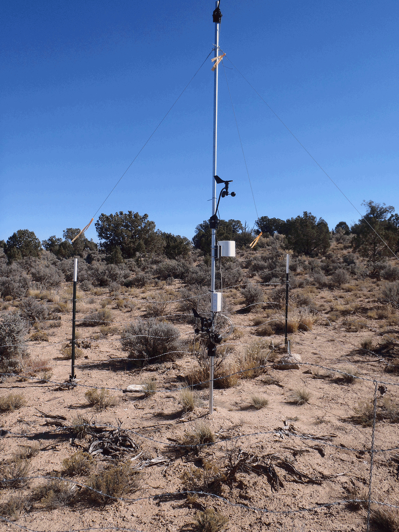
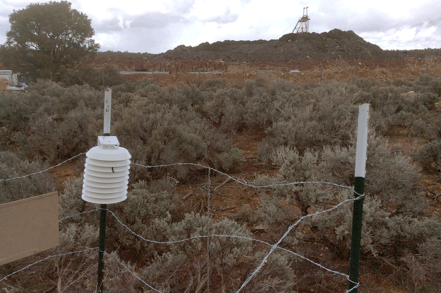
Weather station to record precipitation and wind direction and speed. October 2015. Photo credit: Katie Walton-Day , USGS .
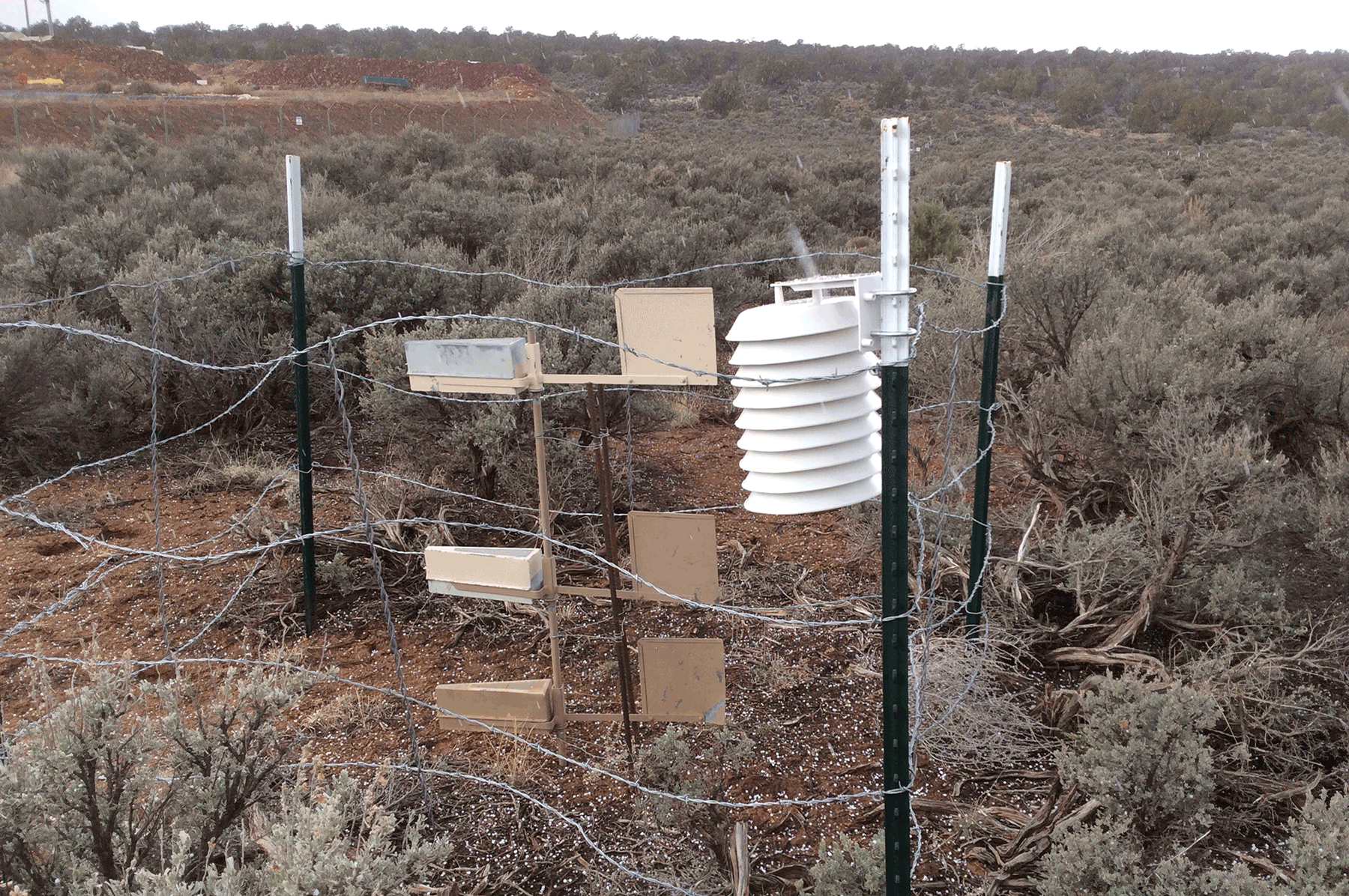
Radon meter (in white corrugated protective cover) located with passive dust sampler (Big Springs Number Eight), east of Pinenut mine. March 2015. Photo credit: Katie Walton-Day , USGS .
Radon meter (in white corrugated protective cover) located with passive dust sampler (Big Springs Number Eight), east of Pinenut mine. March 2015. Photo credit: Katie Walton-Day , USGS .
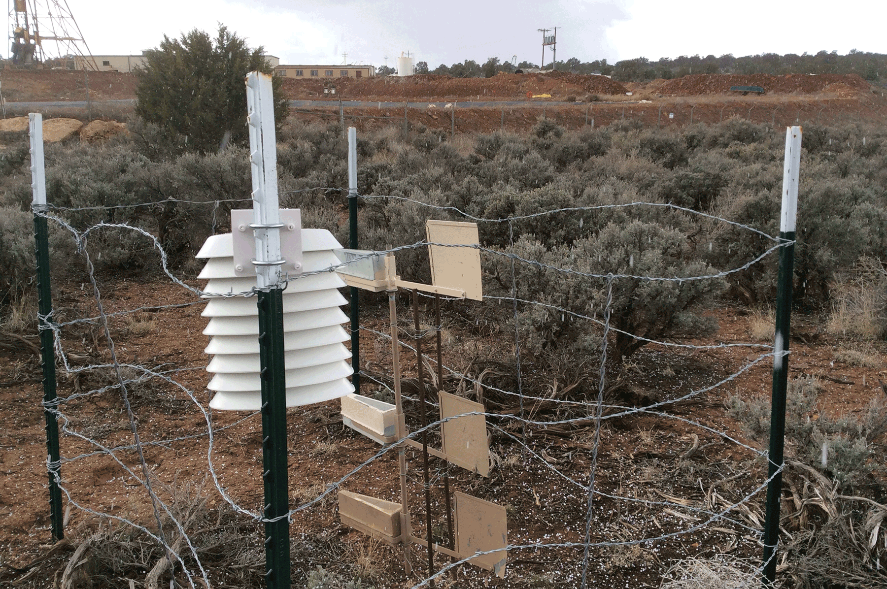
Radon meter installed east of ore pile (in background in front of head frame) at Pinenut mine. March 2015. Photo credit: Katie Walton-Day , USGS .
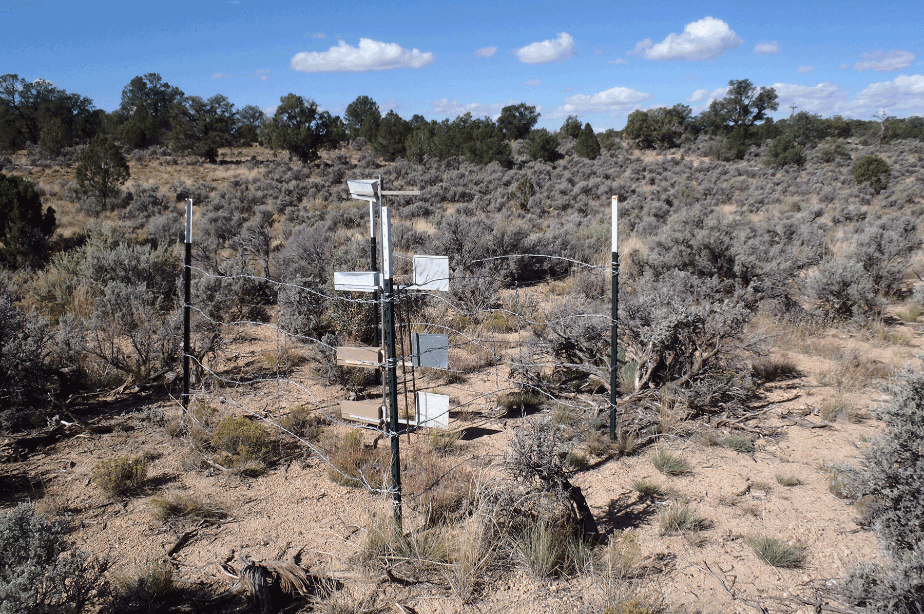
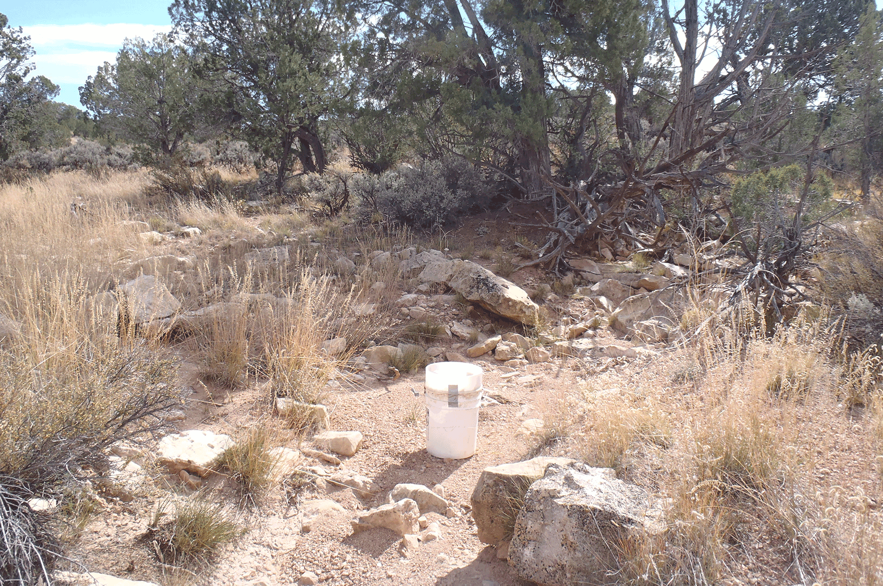
Passive dust sampler (BSNE, Big Spring Number Eight). October 2015. Photo credit: Katie Walton-Day , USGS .
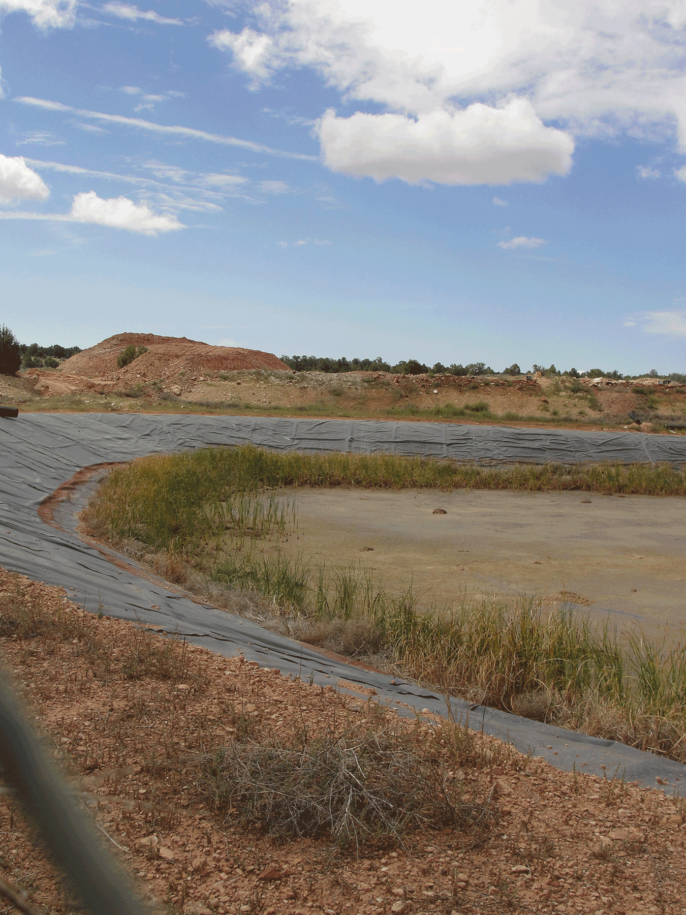
Vegetation and sediment in containment pond during pond drainage. August 2016. Photo credit: Jo Ellen Hinck , USGS .

Detention pond at Pinenut mine. June 2015. Photo credit: Jo Ellen Hinck , USGS .
Vegetation and sediment in containment pond during pond drainage. August 2016. Photo credit: Jo Ellen Hinck , USGS .
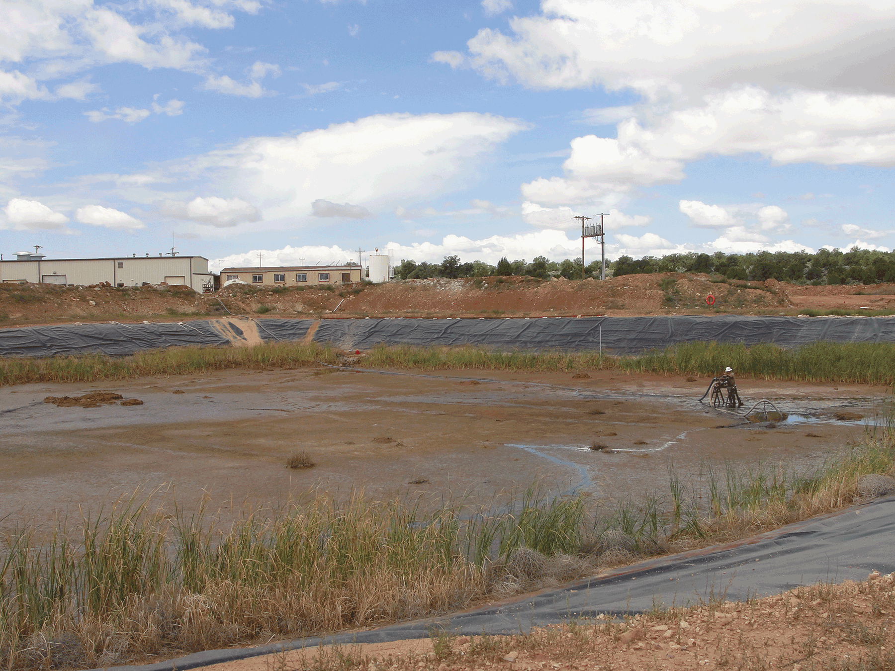
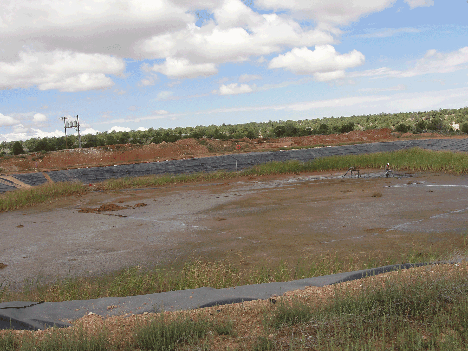
Draining of mine containment pond as part of the reclamation process. August 2016. Photo credit: Jo Ellen Hinck , USGS .
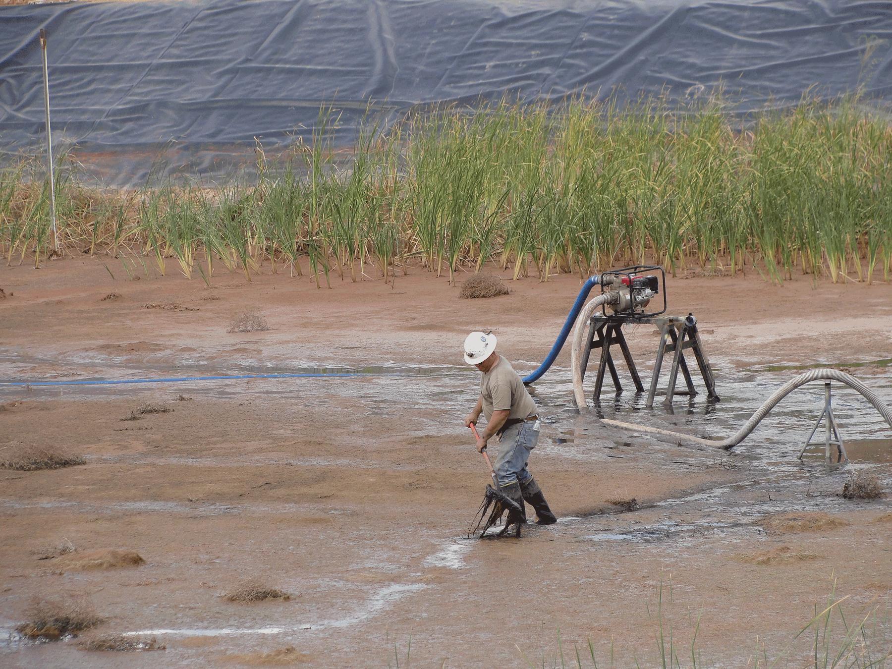
Draining of mine containment pond. August 2016. Photo credit: Jo Ellen Hinck , USGS .
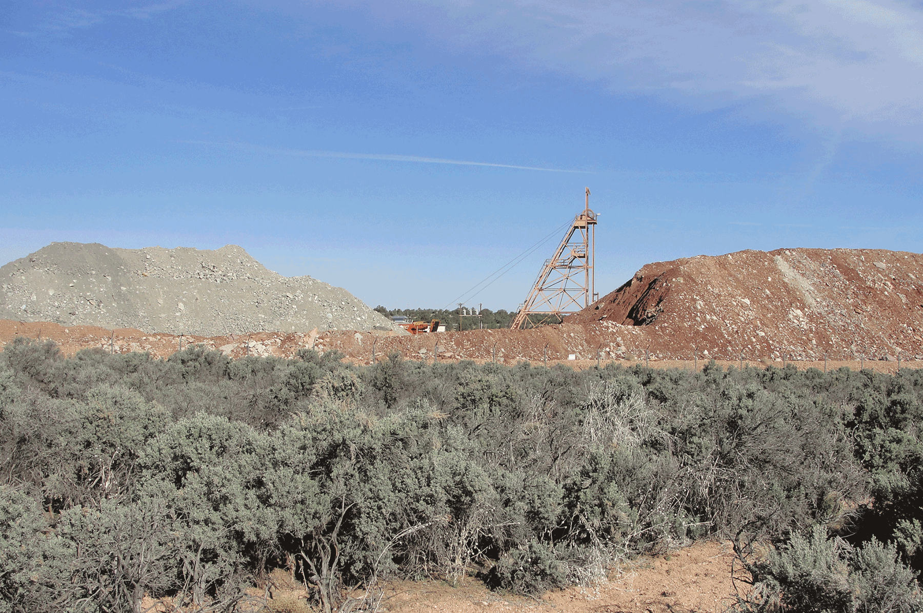
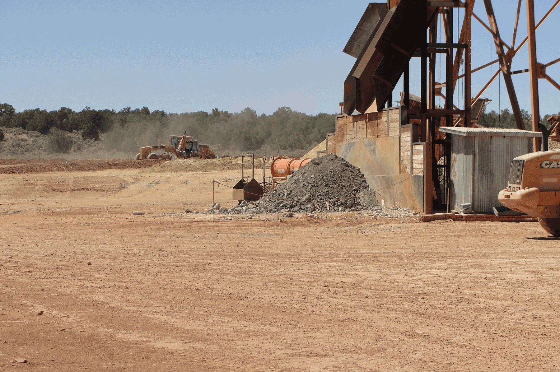
Ore pile (left) and waste rock (right) at Pinenut Mine. April 2015. Photo credit: Jo Ellen Hinck , USGS .
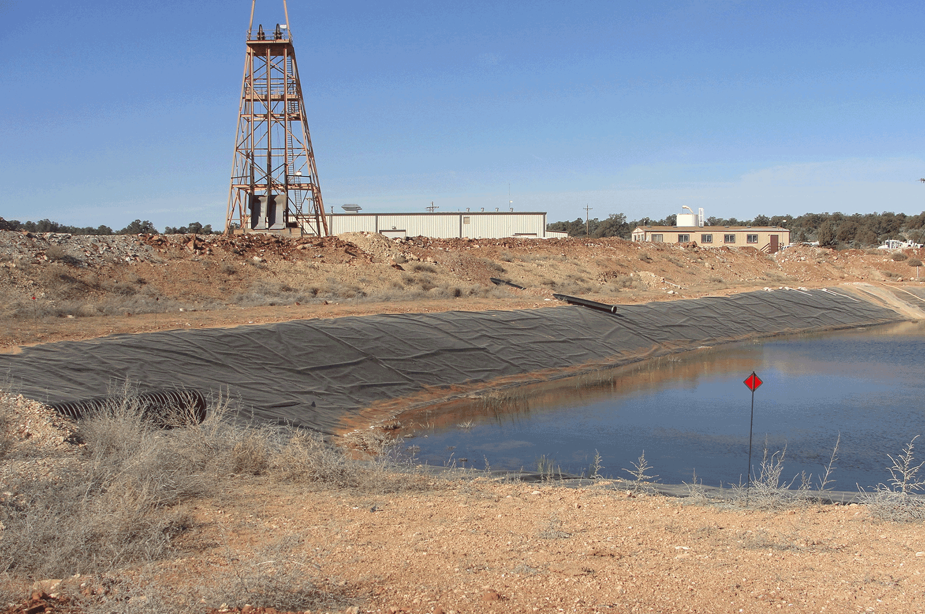
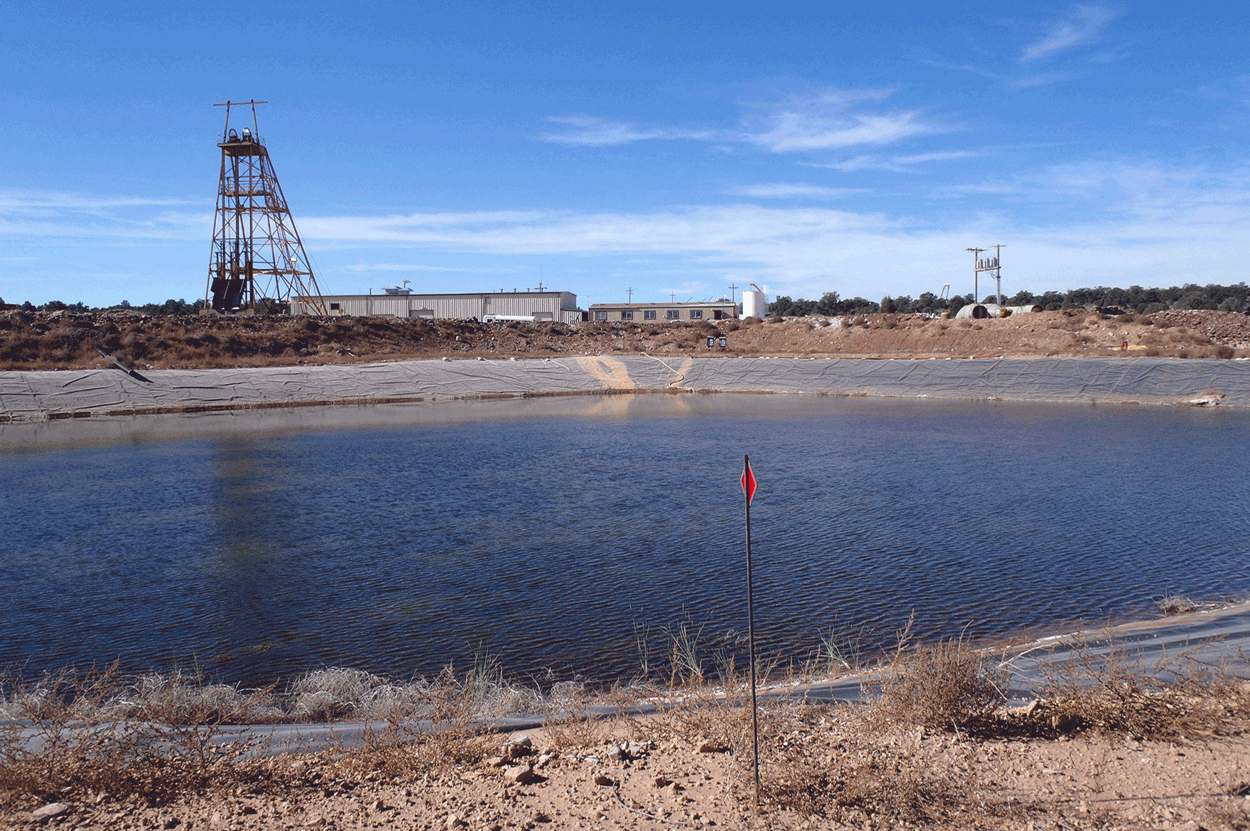
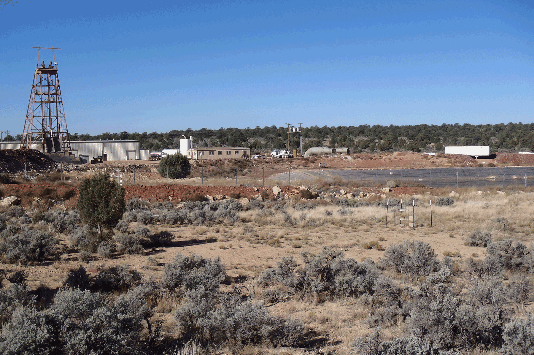
Containment pond and head frame at Pinenut Mine. April 2015. Photo credit: Jo Ellen Hinck , USGS .
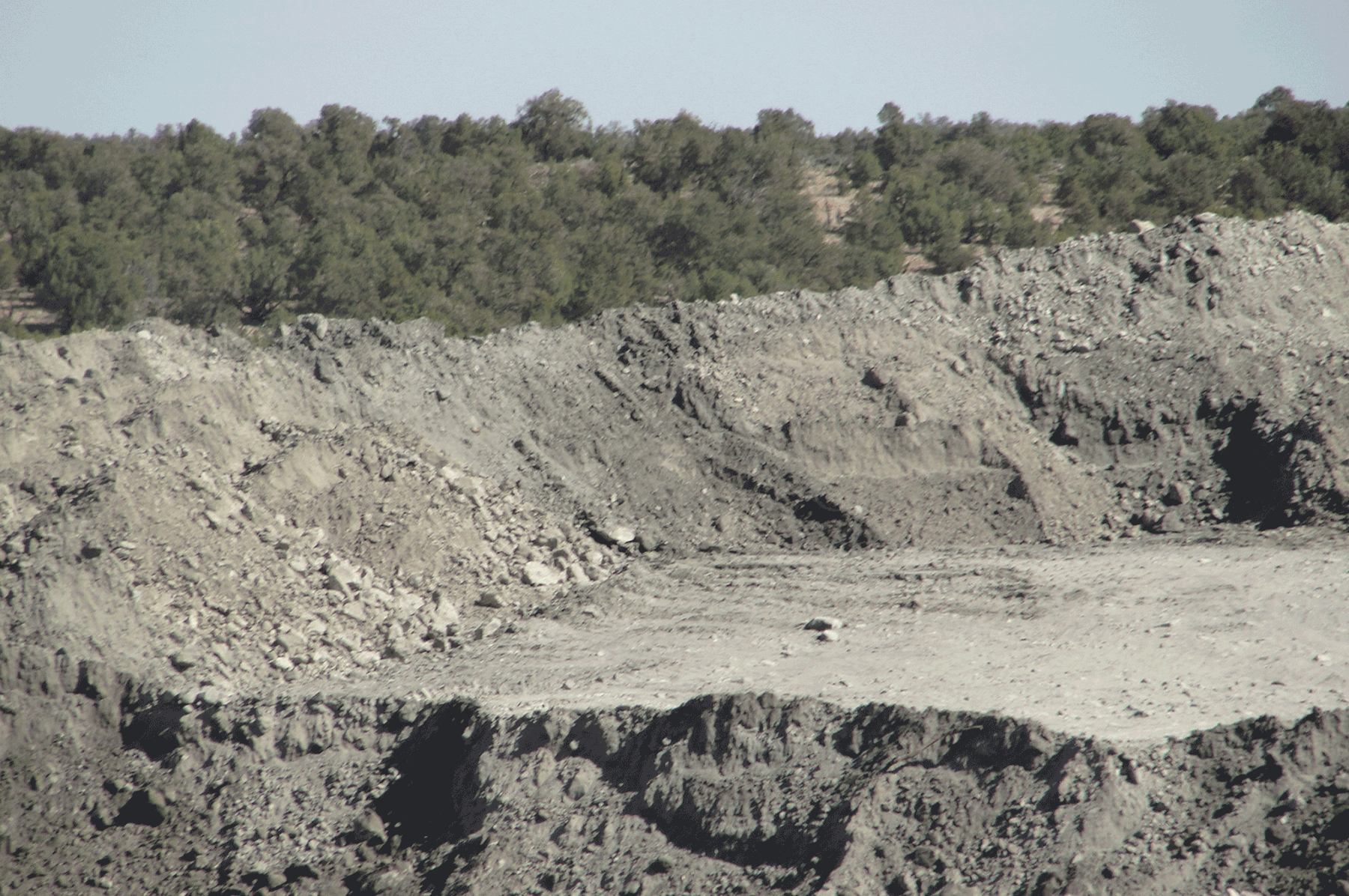
Ore pile at Pinenut Mine. April 2015. Photo credit: Jo Ellen Hinck , USGS .
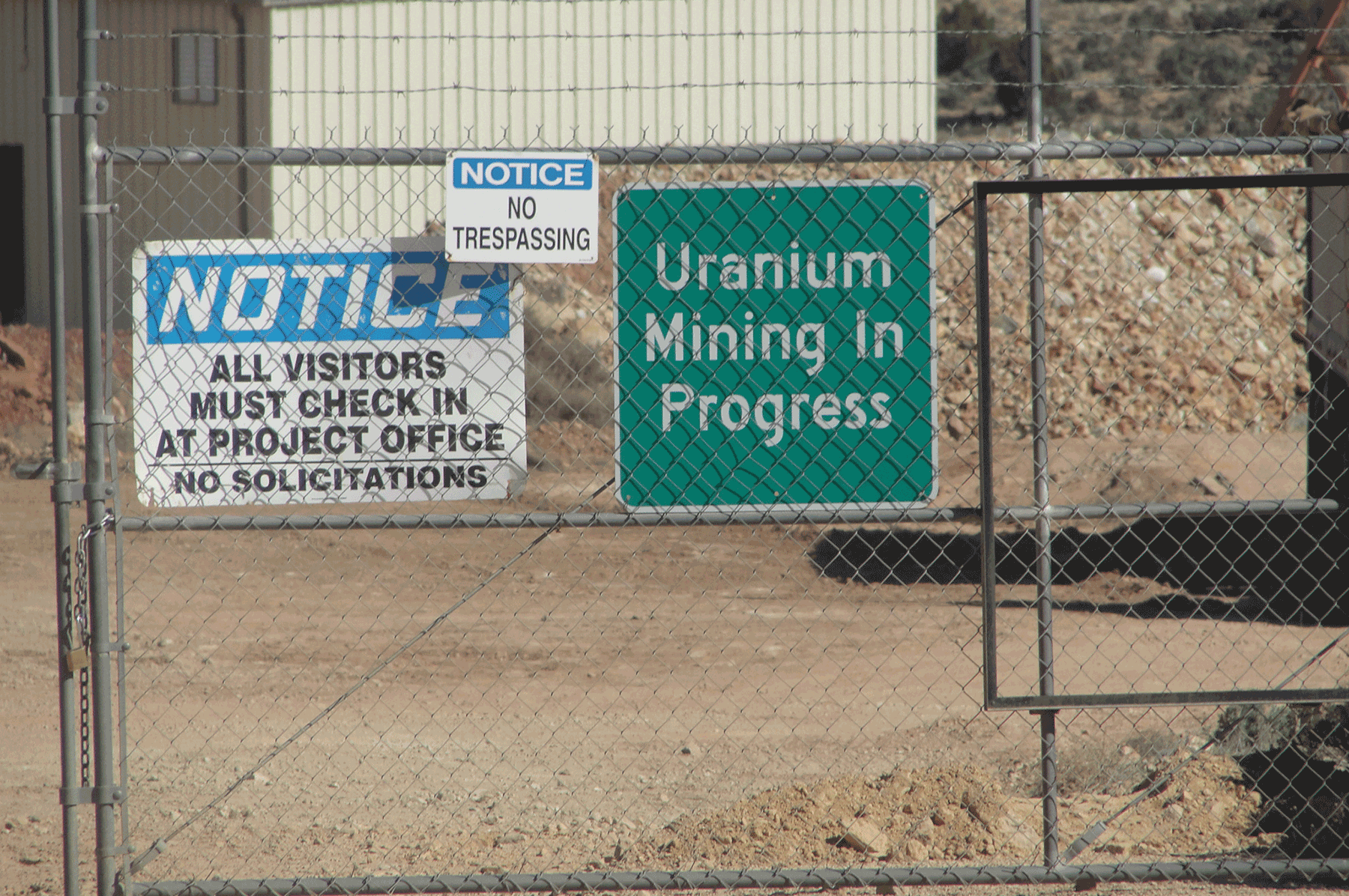
Signage on gate of Pinenut Mine. April 2015. Photo credit: Jo Ellen Hinck , USGS .
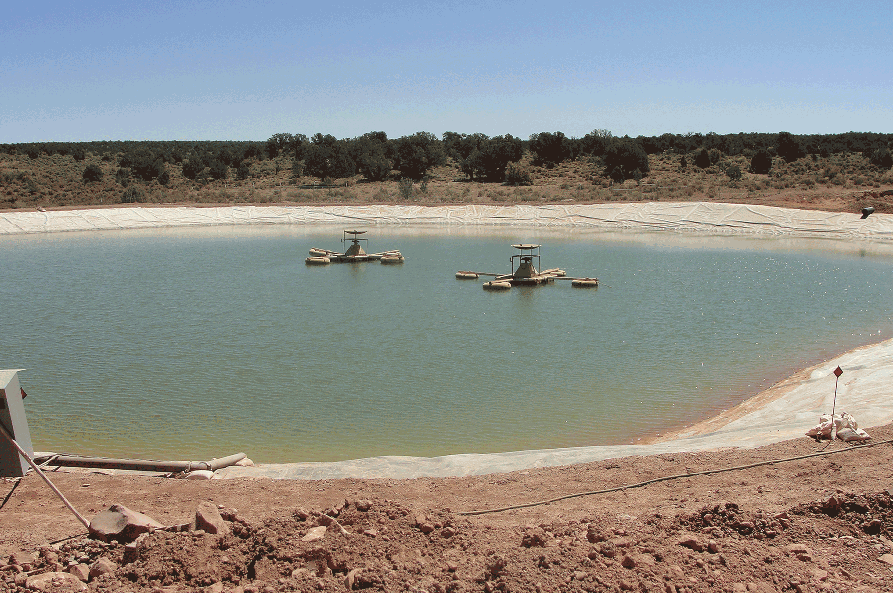
Aerators in containment pond. June 2012. Photo credit: Jo Ellen Hinck , USGS .
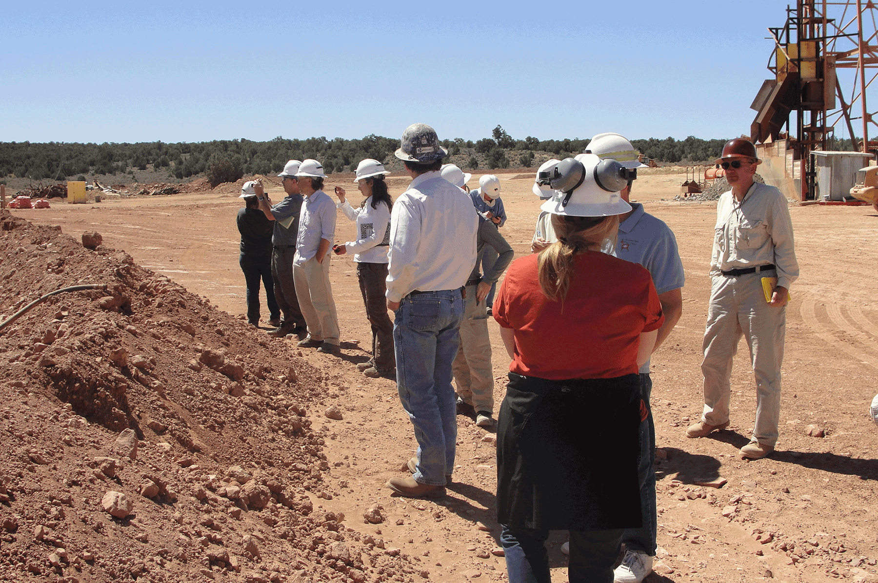
USGS scientists touring the mined with BLM managers and mine company representatives to learn more about mine processes. June 2012. Photo credit: Jo Ellen Hinck , USGS .
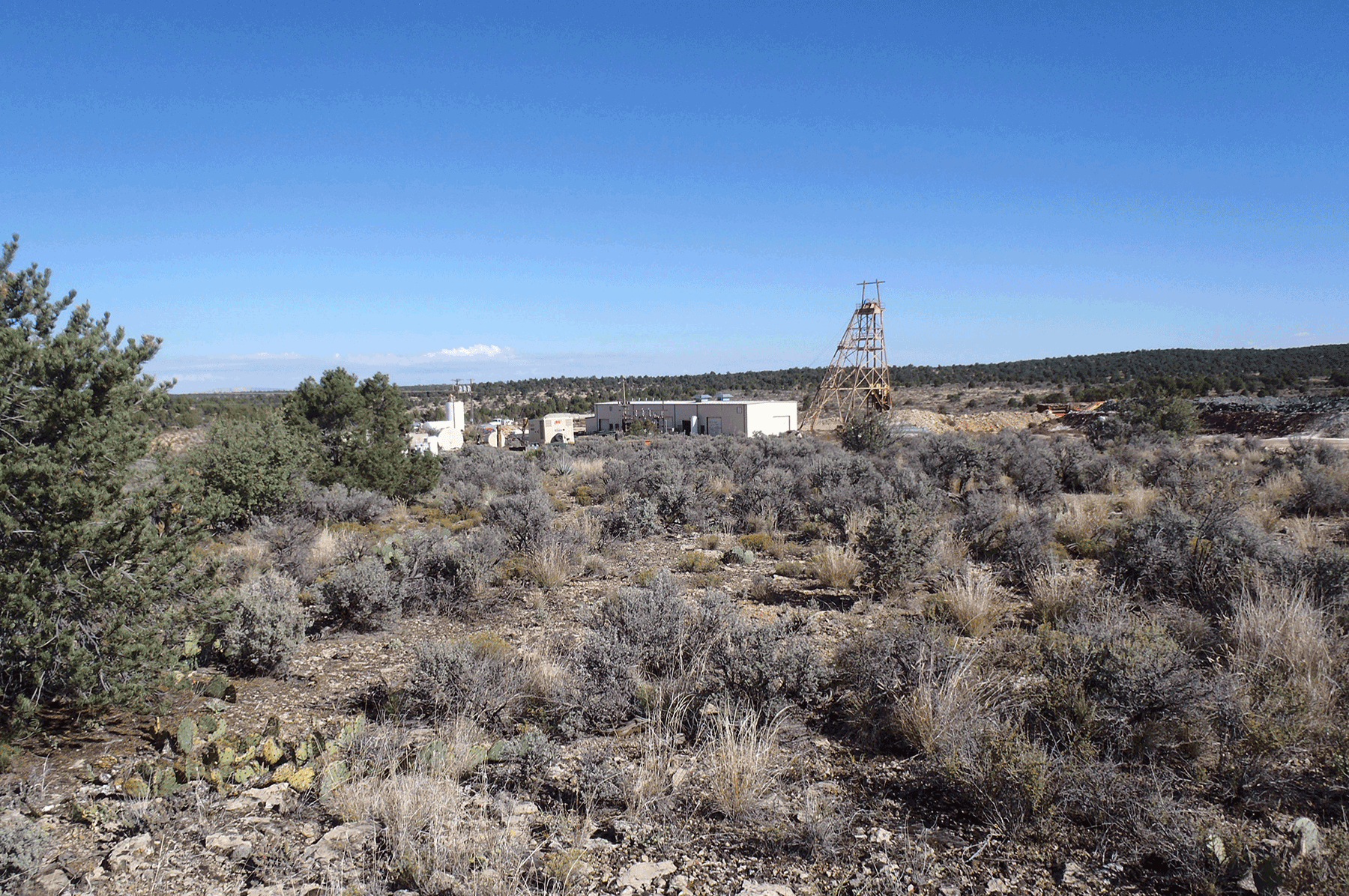
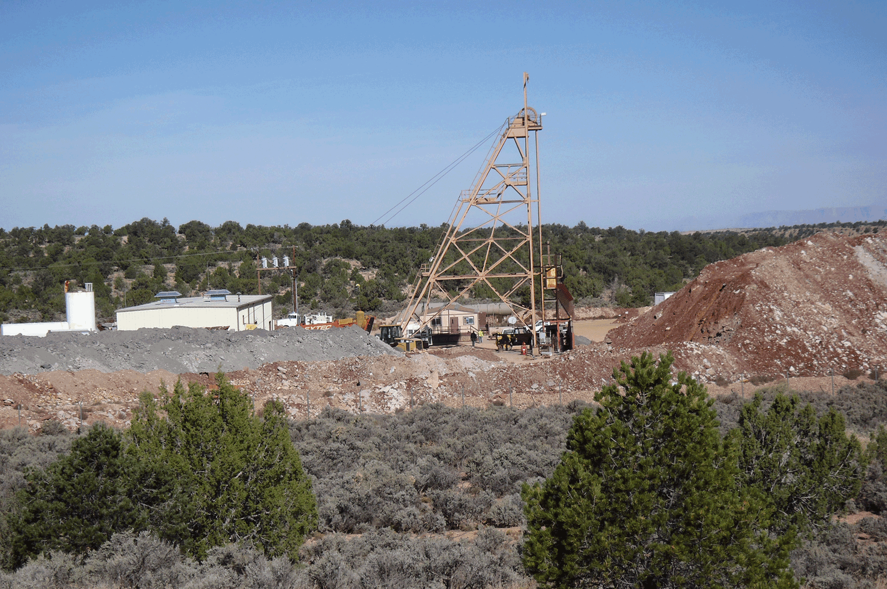
Headframe at Pinenut Mine. June 2012. Photo credit: Jo Ellen Hinck , USGS .
Pinenut Mine. October 2015. Photo credit: Katie Walton-Day , USGS .
View of Pinenut mine. October 2014. Photo credit: Katie Walton-Day , USGS .
Pinenut mine. Gray ore pile to left of head frame. Red waste rock to the right of head frame. October 2014. Photo credit: Katie Walton-Day , USGS .
Pinenut Mine Area.
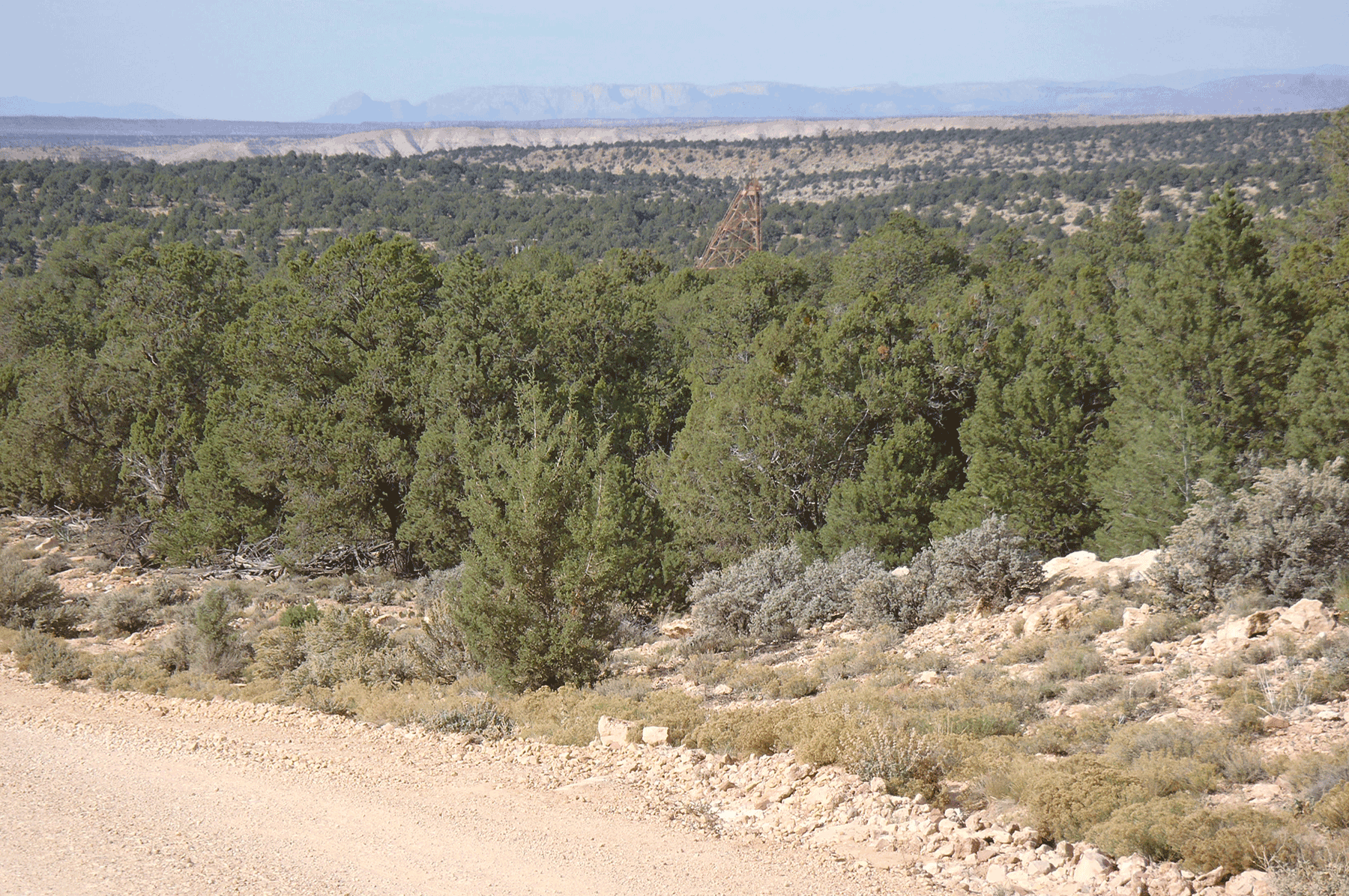
Pinenut mine head frame (in middle ground) as viewed from approach along the haul road. October 2014. Photo credit: Katie Walton-Day , USGS .
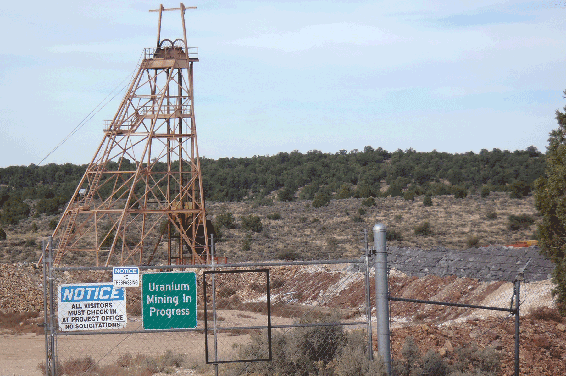
Pinenut mine entrance and head frame. October 2014. Photo credit: Katie Walton-Day , USGS .
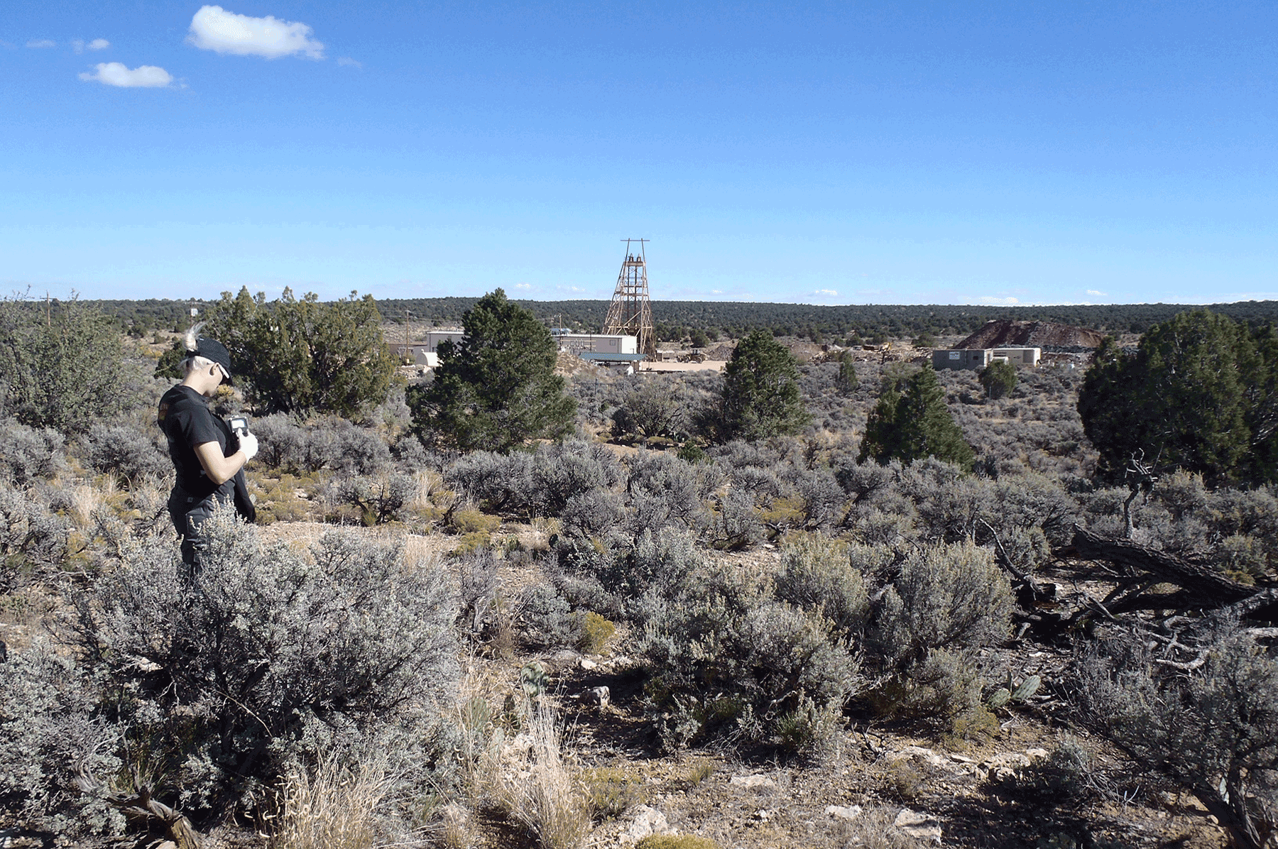
View toward Pinenut mine from the north showing head frame and mine detention pond. October 2014. Photo credit: Katie Walton-Day , USGS .
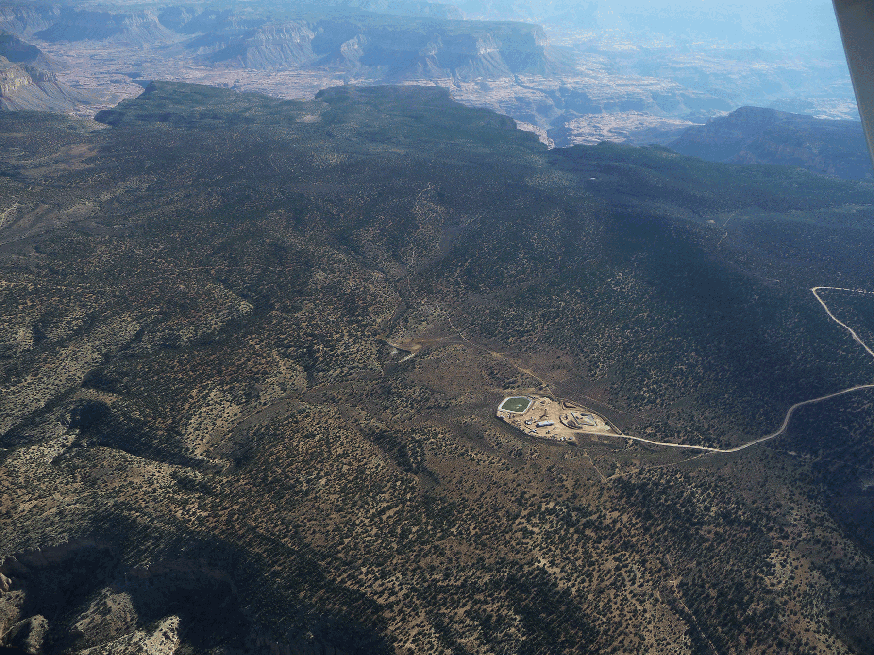
Aerial view of Pinenut Mine and surrounding area. Photo credit: Jon Mason , USGS .
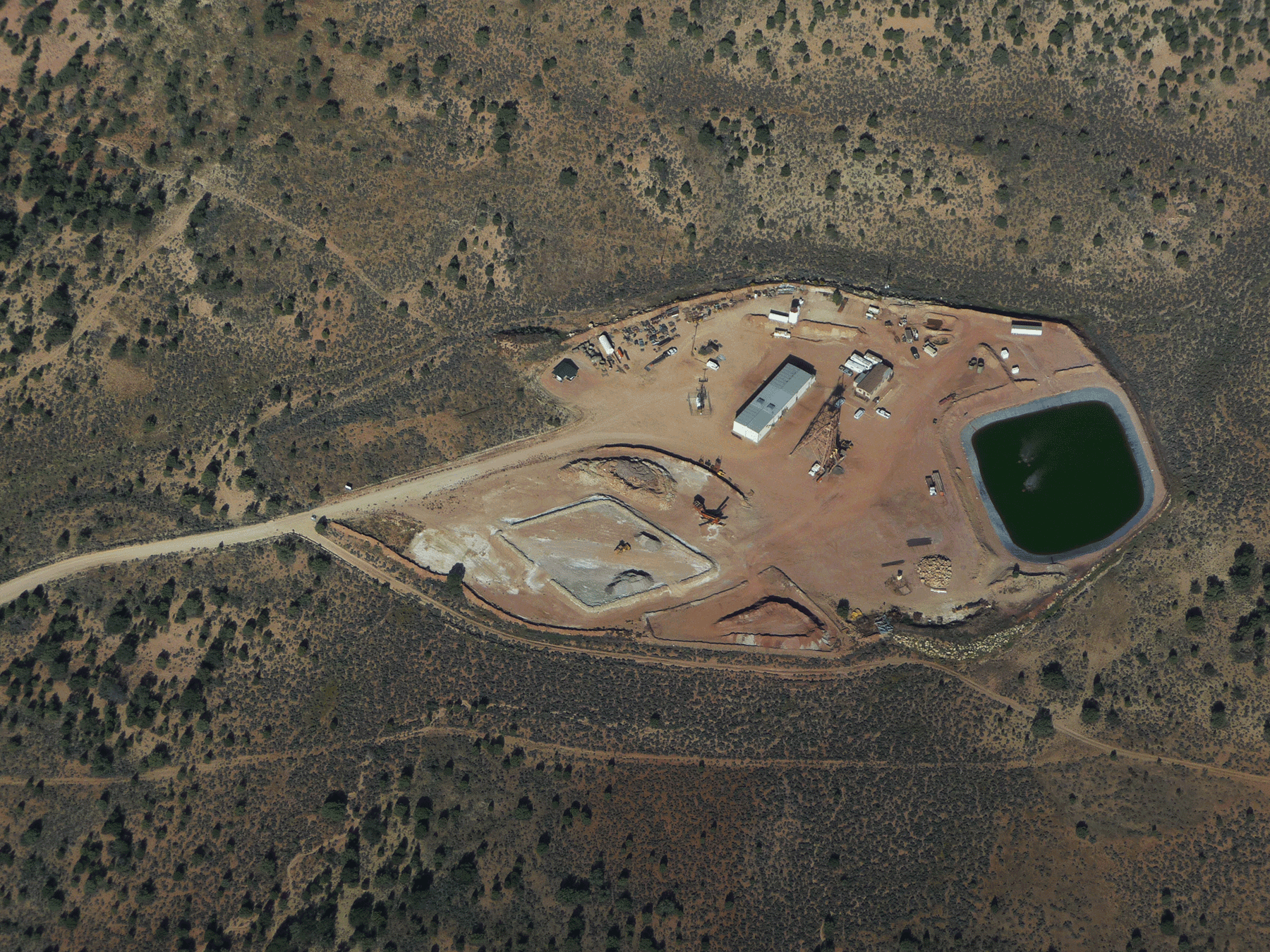
Aerial view of Pinenut Mine and surrounding area. Photo credit: Jon Mason , USGS .
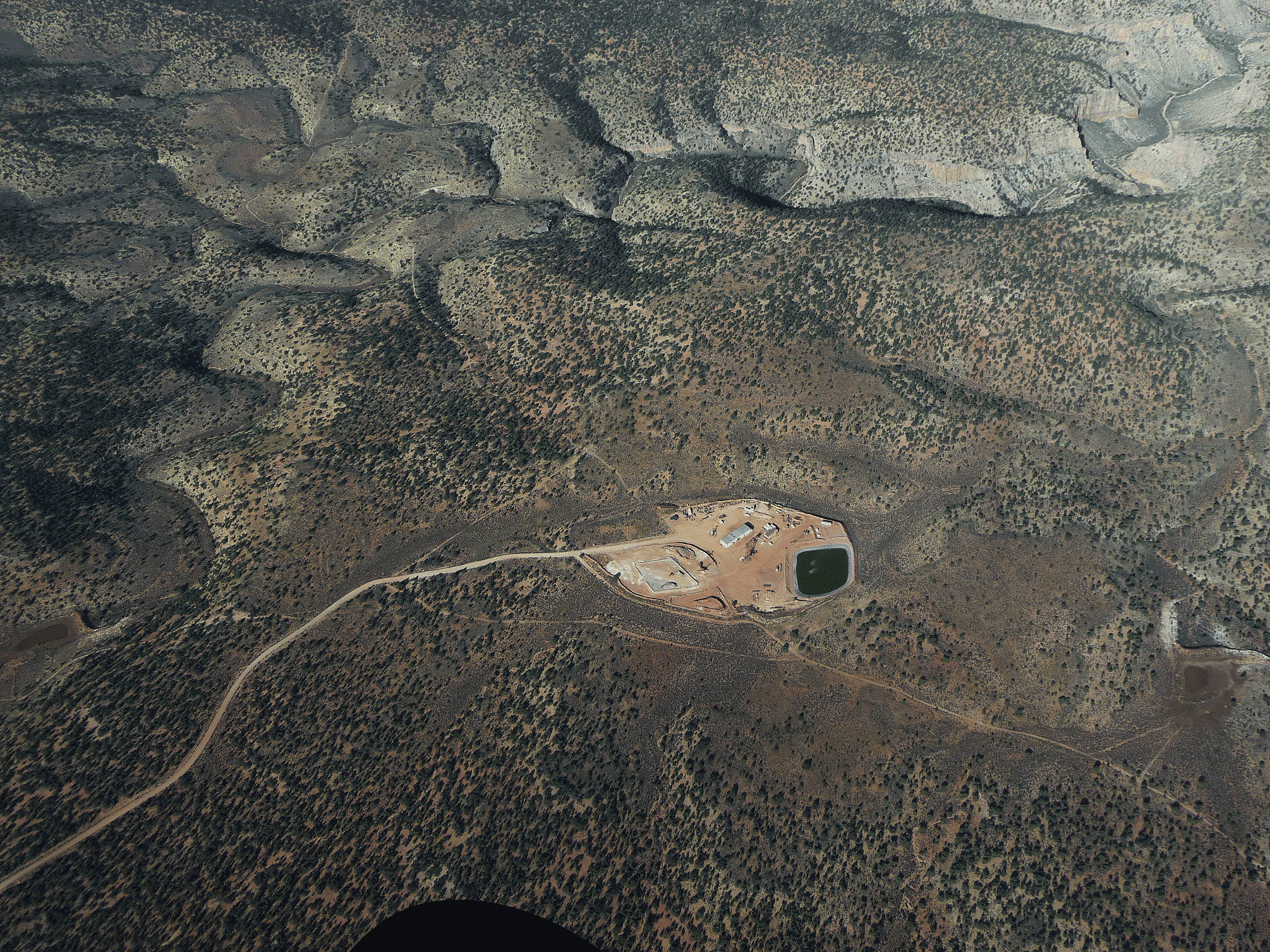
Aerial view of Pinenut Mine and surrounding area. Photo credit: Jon Mason , USGS .
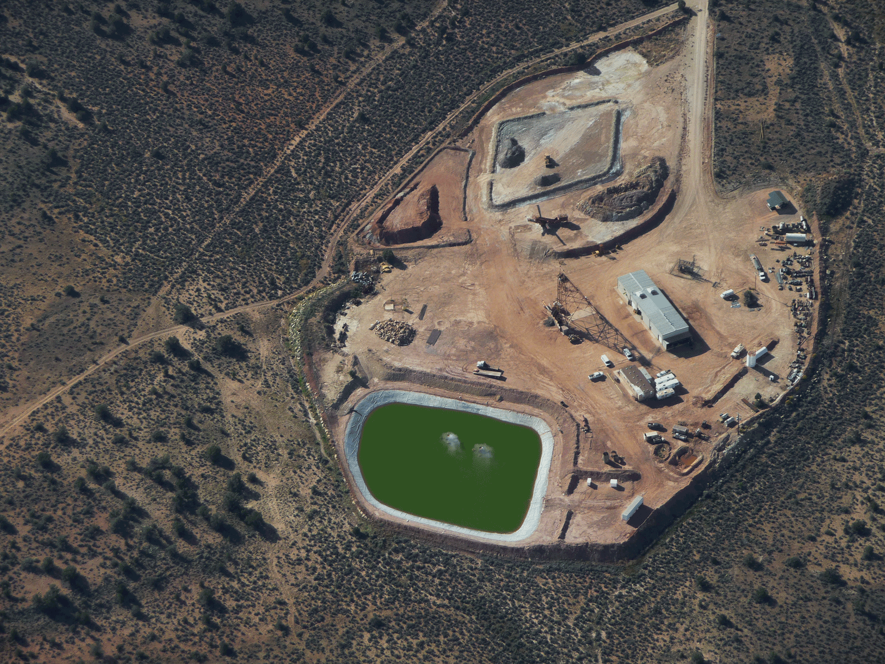
Aerial view of Pinenut Mine and surrounding area. Photo credit: Jon Mason , USGS .
Soil-profile core sample collected near Pinenut mine with head frame in background. April 2018. Photo credit: Brian Andraski , USGS .
USGS scientists at soil sampling site near Pinenut mine. April 2018. Photo credit: Brian Andraski , USGS .
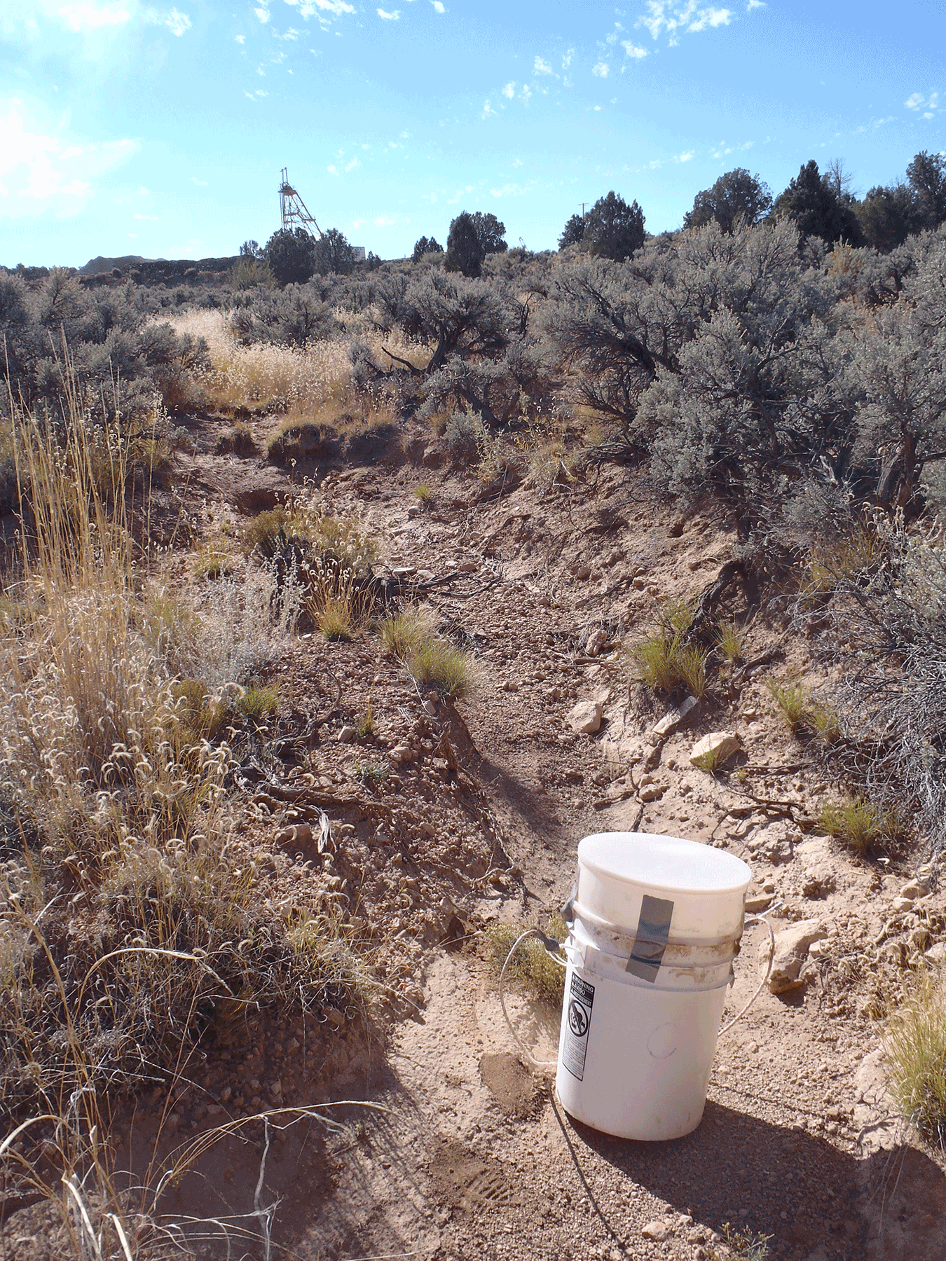
Dry stream channel near Pinenut mine, with Pinenut head frame in the background. October 2014. Photo credit: Katie Walton-Day , USGS .
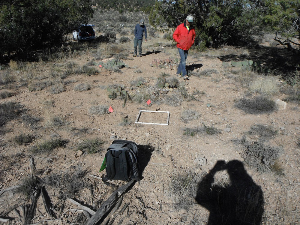
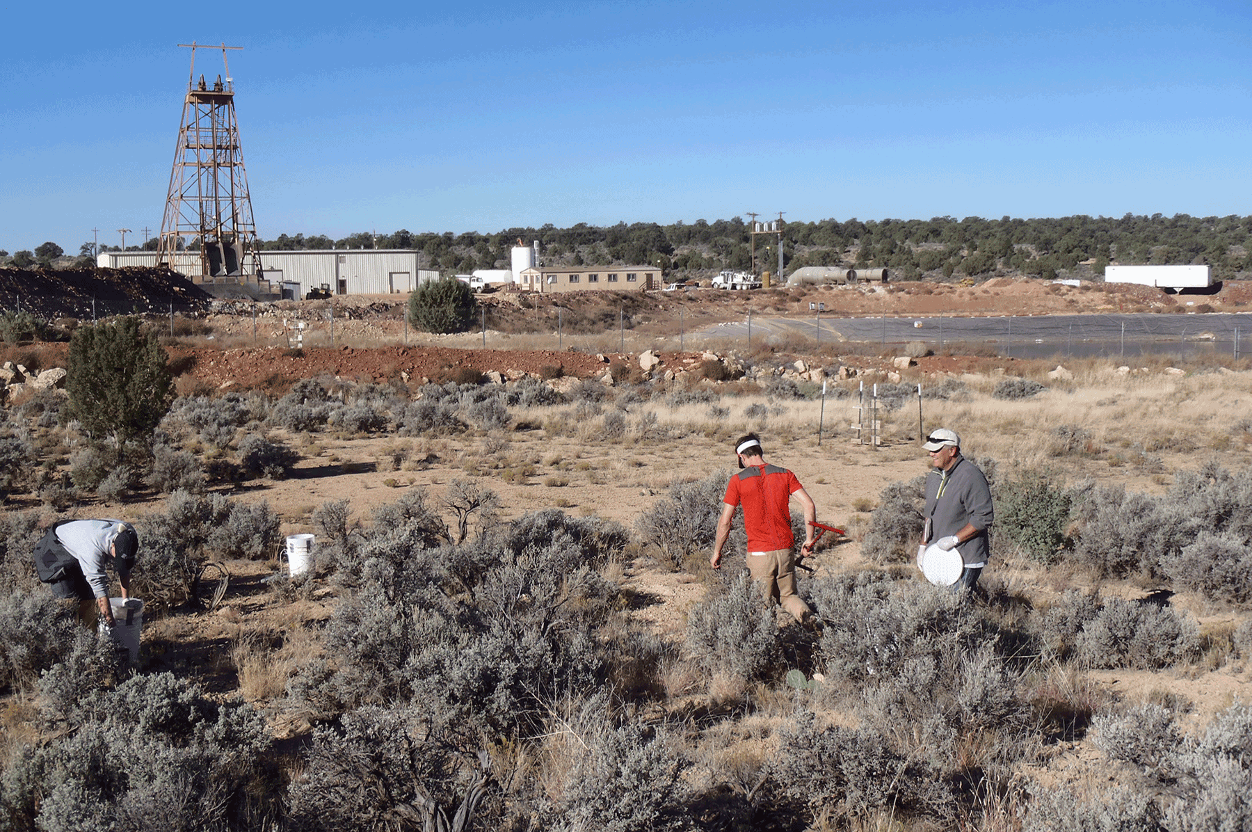
USGS scientists collecting soil core near Pinenut mine. October 2014. Photo credit: Katie Walton-Day , USGS .
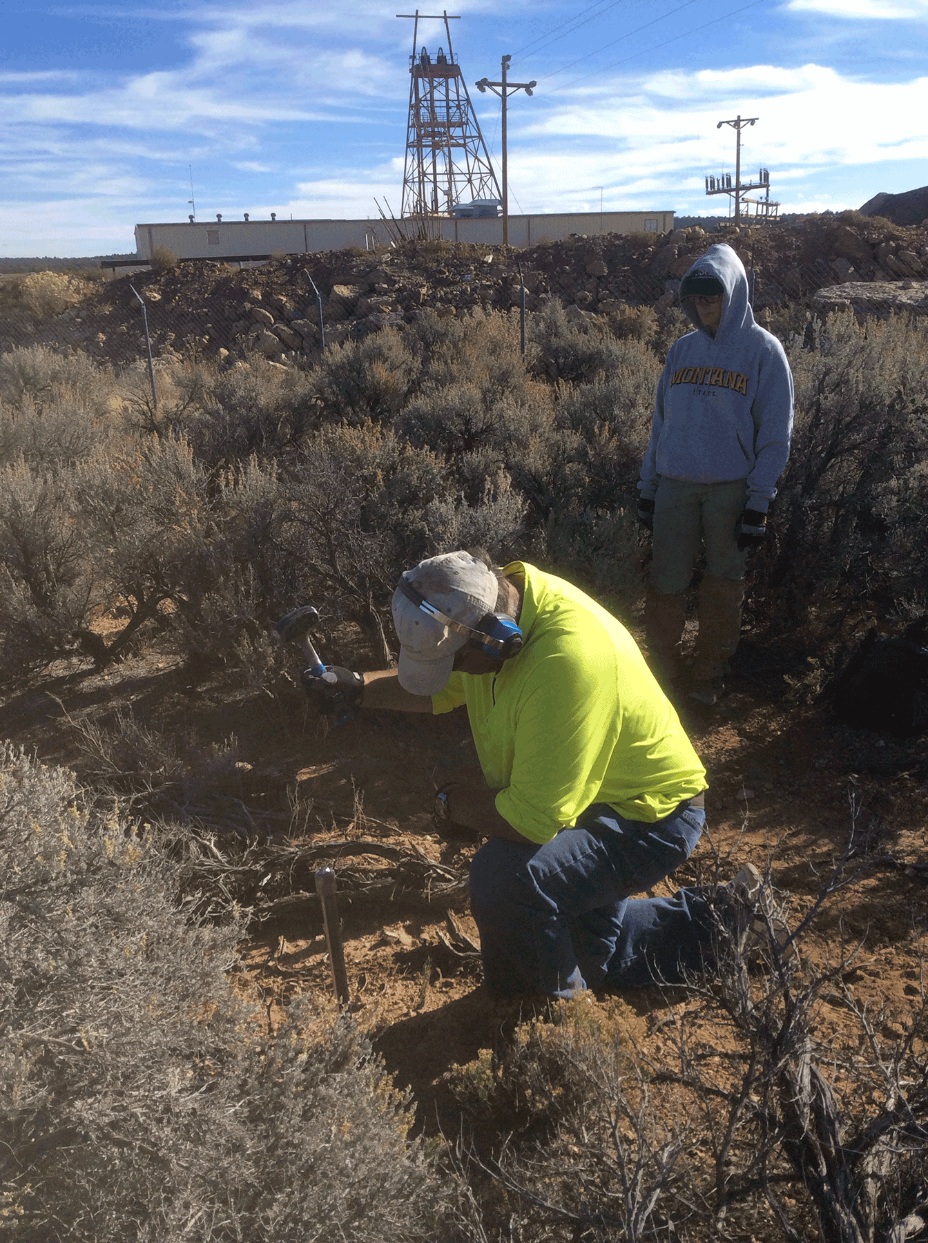
USGS scientists collecting soil core near Pinenut mine. October 2014. Photo credit: Katie Walton-Day , USGS .
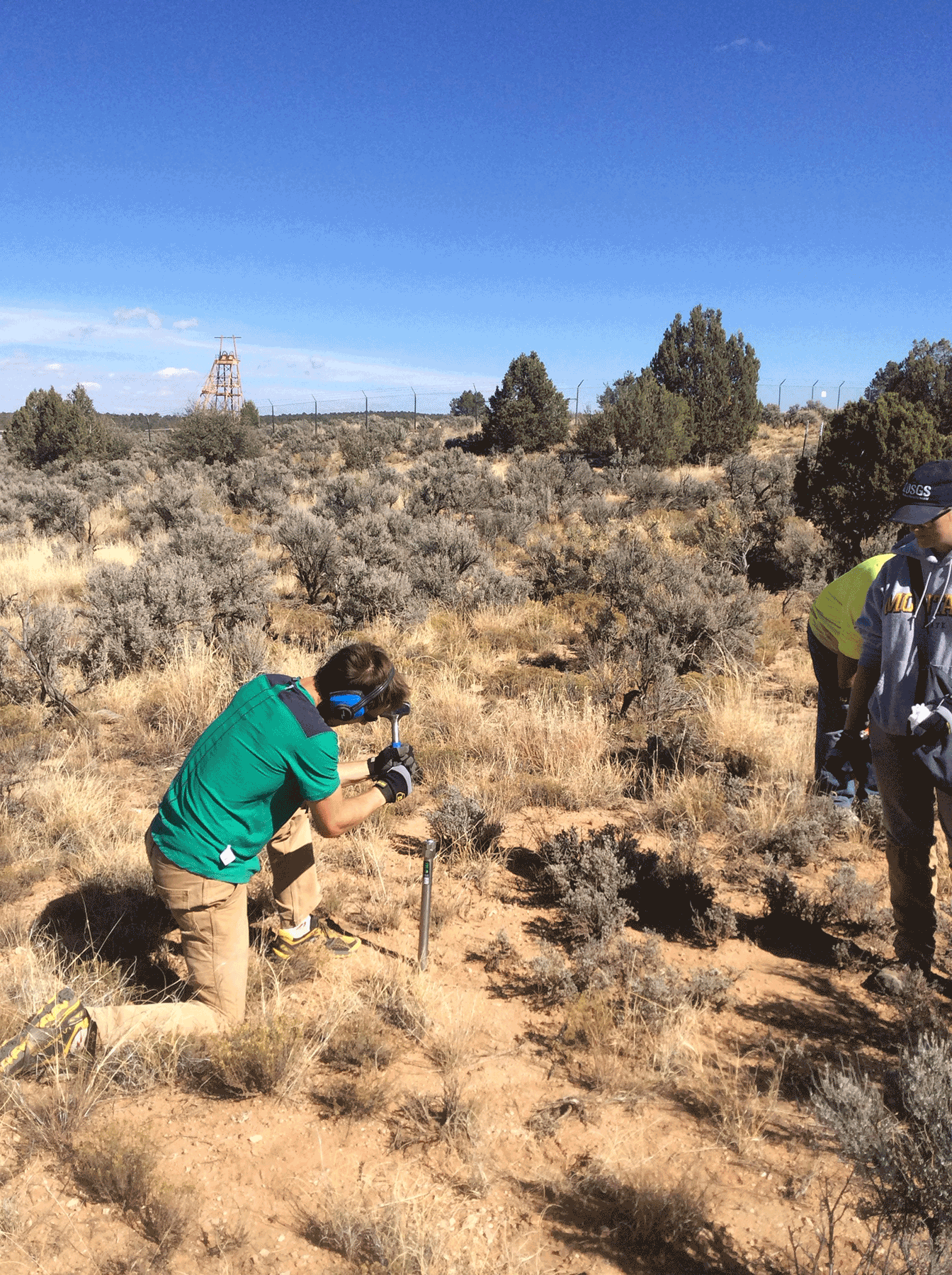
Collecting soil core near Pinenut mine. October 2014. Photo credit: Katie Walton-Day , USGS .
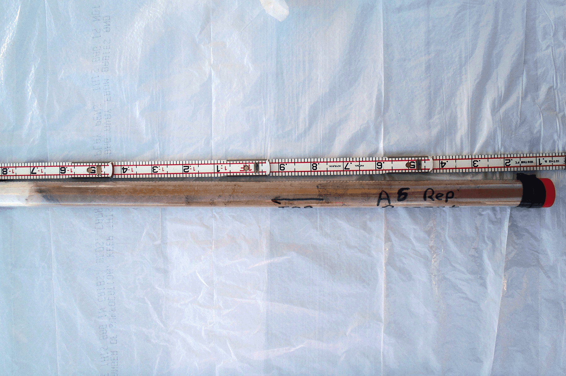
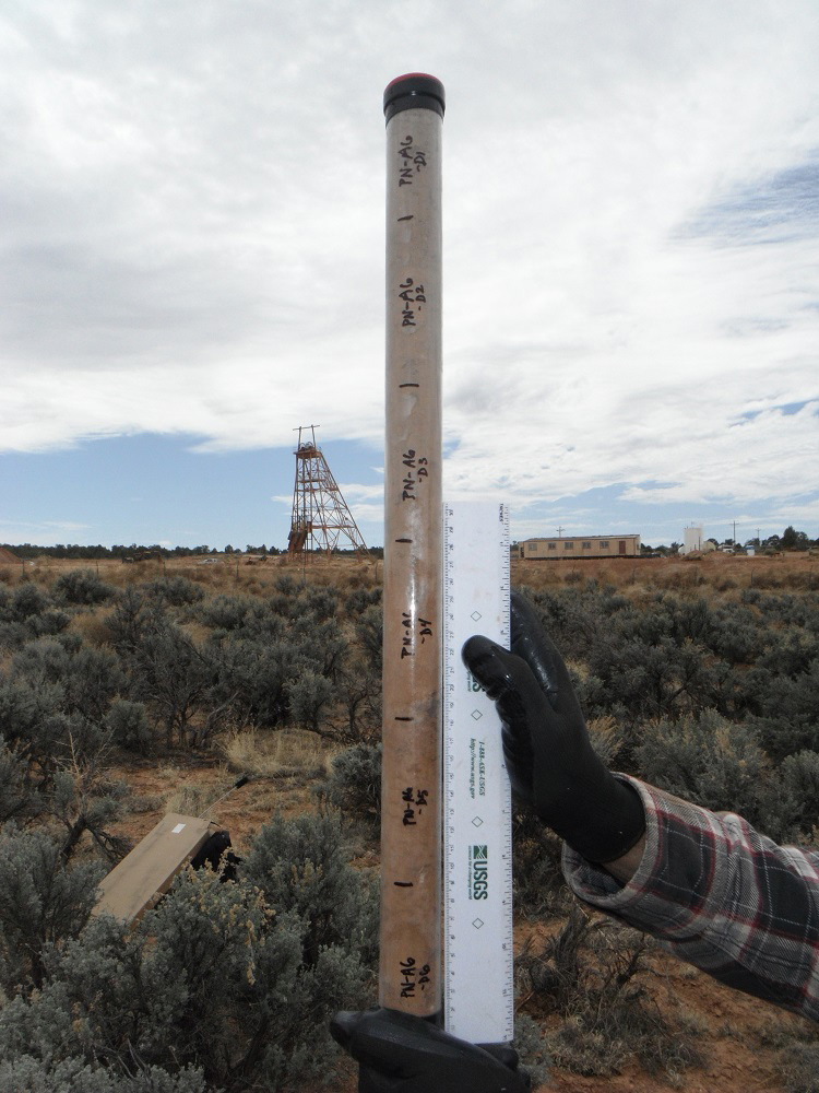
Soil core in core liner collected from near Pinenut mine. Core length approximately 40 centimeters. October 2014. Photo credit: Katie Walton-Day , USGS .
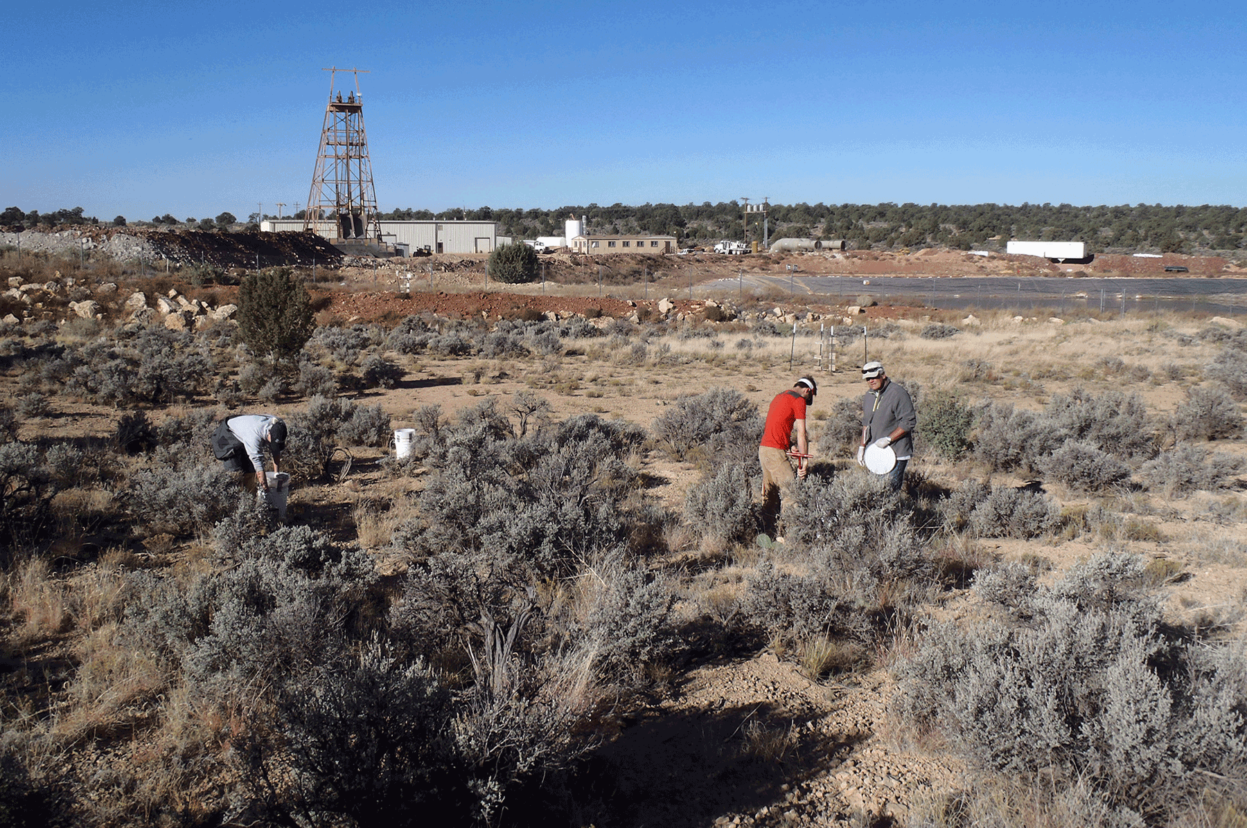
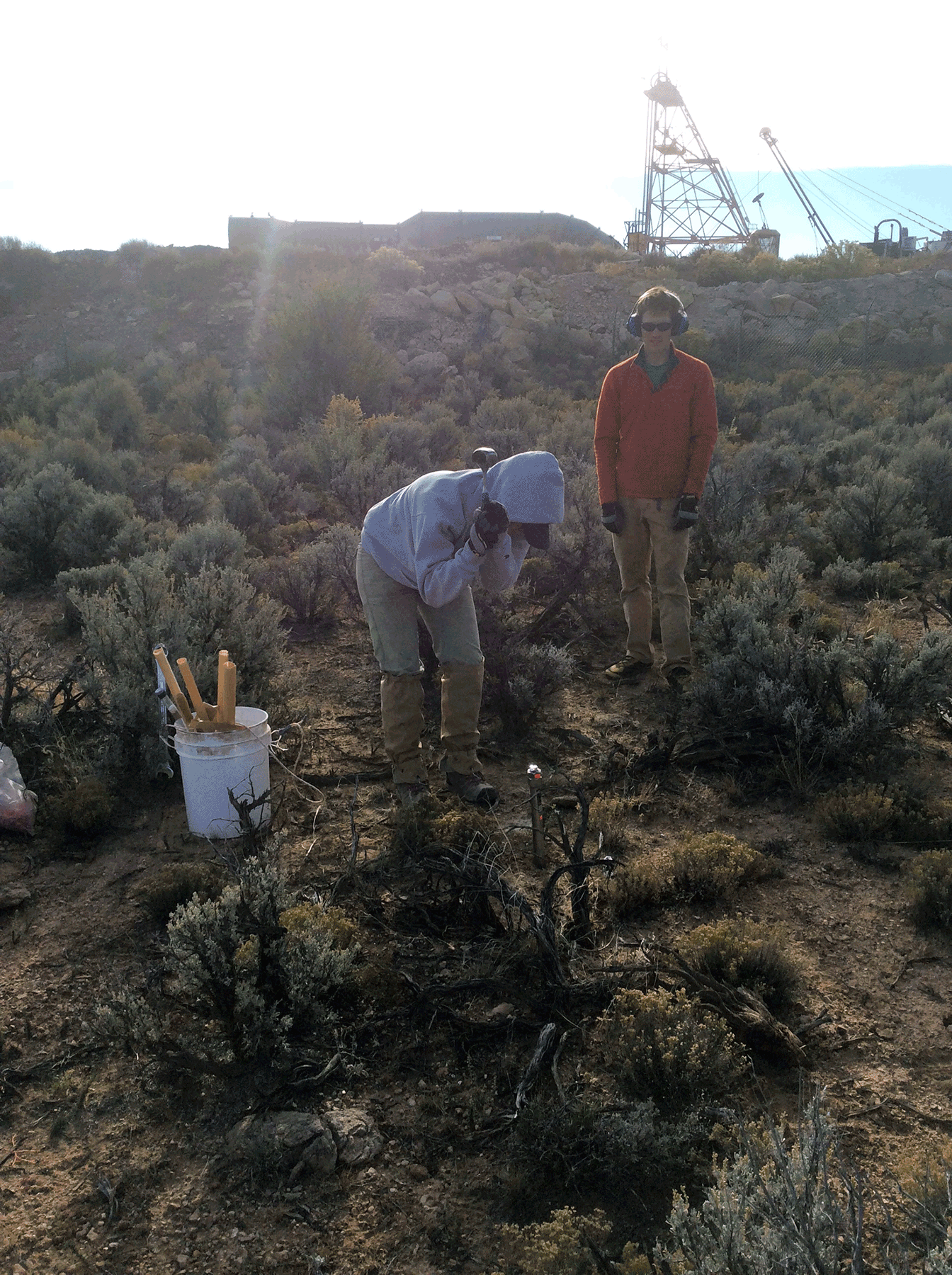
USGS scientists collecting soil samples near the Pinenut mine. October 2014. Photo credit: Katie Walton-Day , USGS .
USGS scientists collecting soil samples near the Pinenut mine. October 2014. Photo credit: Katie Walton-Day , USGS .
Dry stream channel north of Pinenut mine. October 2014. Photo credit: Katie Walton-Day , USGS .