The Colorado River, which carved Grand Canyon over the last 6 million years, is one of the most important water sources in the western U.S., serving the needs of more than 38 million people in the U.S. and Mexico. The Grand Canyon region also hosts some of the highest-grade uranium deposits in the U.S. and has subsequently experienced varying levels of uranium mining activity since the 1950s.
Since late 2015, the USGS has monitored major surface waters in the Grand Canyon area for elements associated with mineralized uranium deposits. Dissolved constituents in the Colorado River are monitored upstream (Lees Ferry), near the middle (Phantom Ranch), and downstream (above Diamond Creek) of Grand Canyon National Park. Additionally, dissolved and sediment bound constituents are monitored at the mouths of the Little Colorado River, Kanab Creek, and Havasu Creek tributaries.
Difficult sampling conditions exist at these remote tributary monitoring sites, including limited access and extremely variable flow from baseflow to flood runoff conditions. Water chemistry results from the mainstem Colorado River sites are available in the USGS National Water Information System database (see links below). Water and sediment chemistry results from the Little Colorado River, Kanab Creek, and Havasu Creek are available on the USGS ScienceBase web site.
Continued monitoring at these and additional tributary sites in Grand Canyon will provide a robust dataset with which to compare potential future changes that may result from uranium mining in the area.
Findings from this investigation1 to date include:
At the concentrations observed during this study, tributaries contributed on average only about 0.12 μg/L of arsenic and 0.03 μg/L of uranium to the main-stem river.
Water chemistry results from the mainstem Colorado River sites are available on the USGS National Water Information System
COLORADO RIVER AT LEES FERRY, AZ
COLORADO RIVER NEAR GRAND CANYON, AZ
COLORADO RVR ABV DIAMOND CREEK NR PEACH SPRINGS AZ
Questions this study could help answer
What is the flux (mass per time) of uranium and associated trace elements in the Colorado River upstream and downstream from the withdrawal areas?
What is the flux of uranium and associated trace elements in the major tributaries to the Colorado River in the Grand Canyon area?
Is there a difference in flux from drainages with unmined breccia pipes, currently mined breccia pipes, and formerly mined breccia pipes?
Is there a seasonal or runoff-driven change in flux over time?
Objectives
Monitor dissolved constituents in the Colorado River upstream (Lees Ferry), near the middle (Phantom Ranch), and downstream (above Diamond Creek) of Grand Canyon National Park.
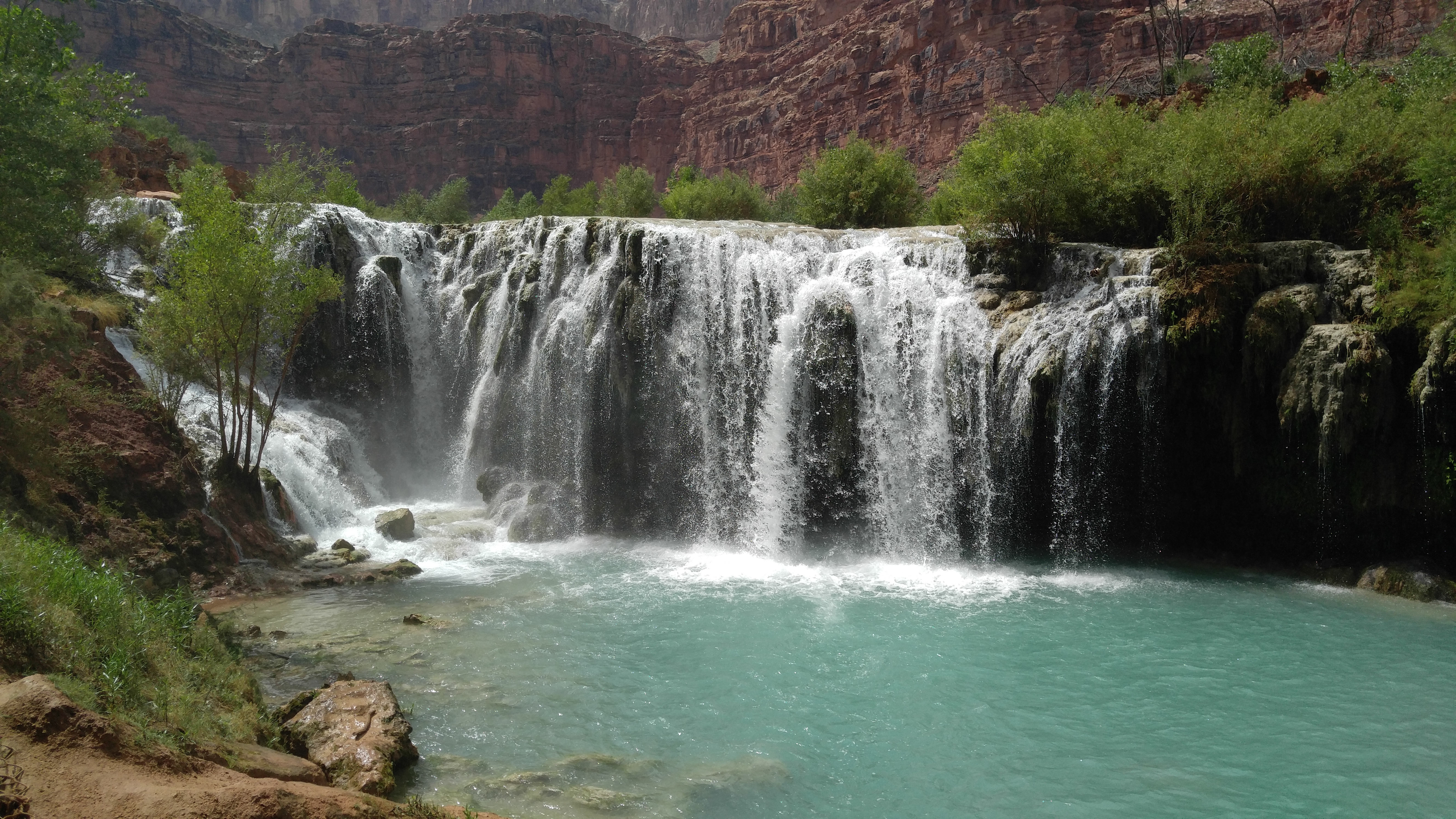
Monitor dissolved and sediment bound constituents at the mouths of the Little Colorado River, Kanab Creek, and Havasu Creek tributaries.
Ongoing
Task 5b: Collect/analyze water and sediment samples from streams and springs Task 12: Surface water monitoring of chemical constituents in drainages with historical and current mining
1 Tillman, F.D, Anderson, J.R., Unema, J.A., and Chapin, T.P., 2020, Assessing uranium and select trace elements associated with breccia pipe uranium deposits in the Colorado River and main tributaries in Grand Canyon, USA: PLoS ONE, 15(11): e0241502. https://doi.org/10.1371/journal.pone.0241502
Fred Tillman
Hydrologist
Arizona Water Science Center
520.670.3312
[email protected]
Joel Unema
Hydrologist
Arizona Water Science Center
928.556.7363
[email protected]
Jessica Anderson
Hydrologic Technician
Arizona Water Science Center
928.556.7357
[email protected]