
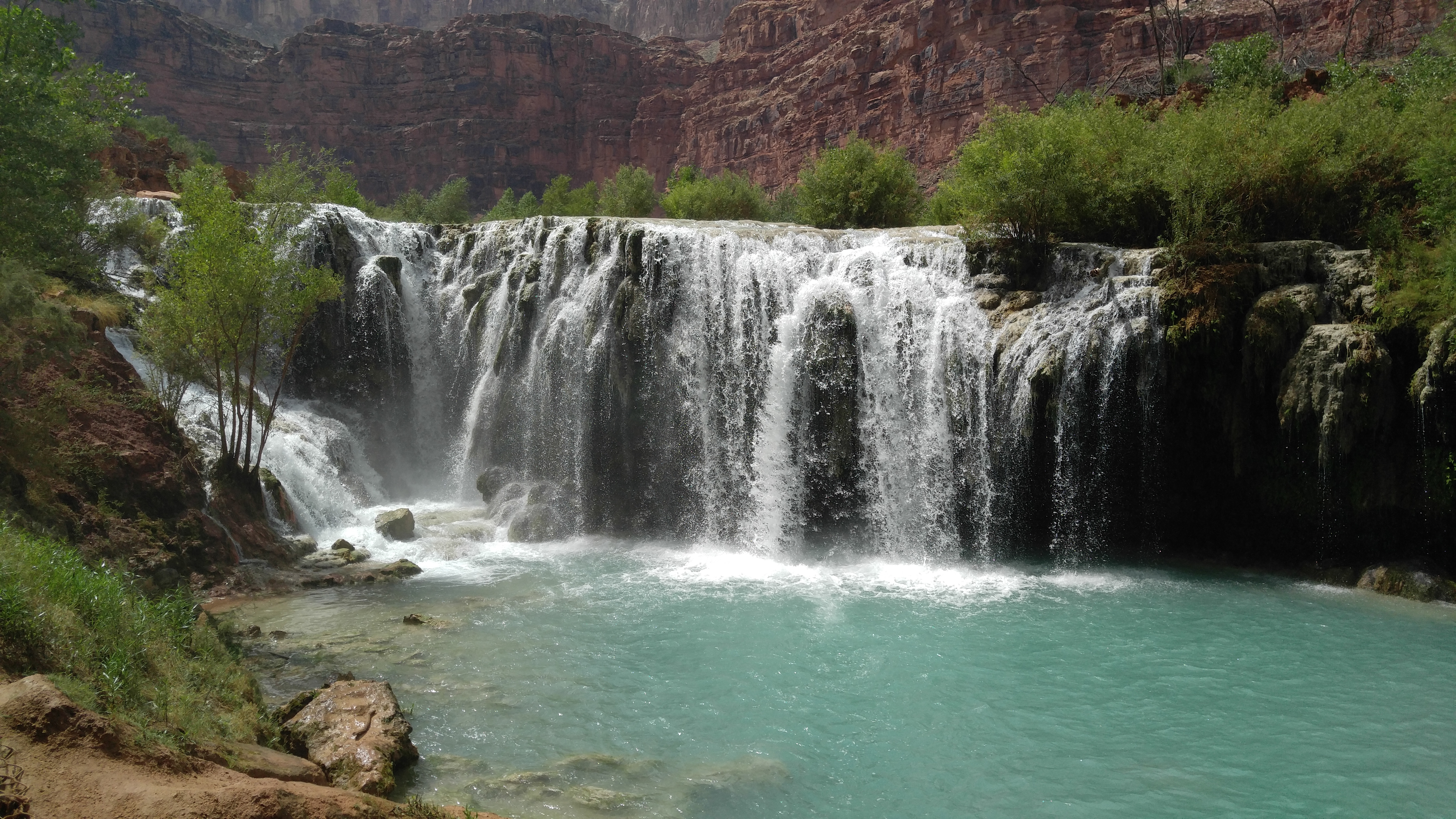
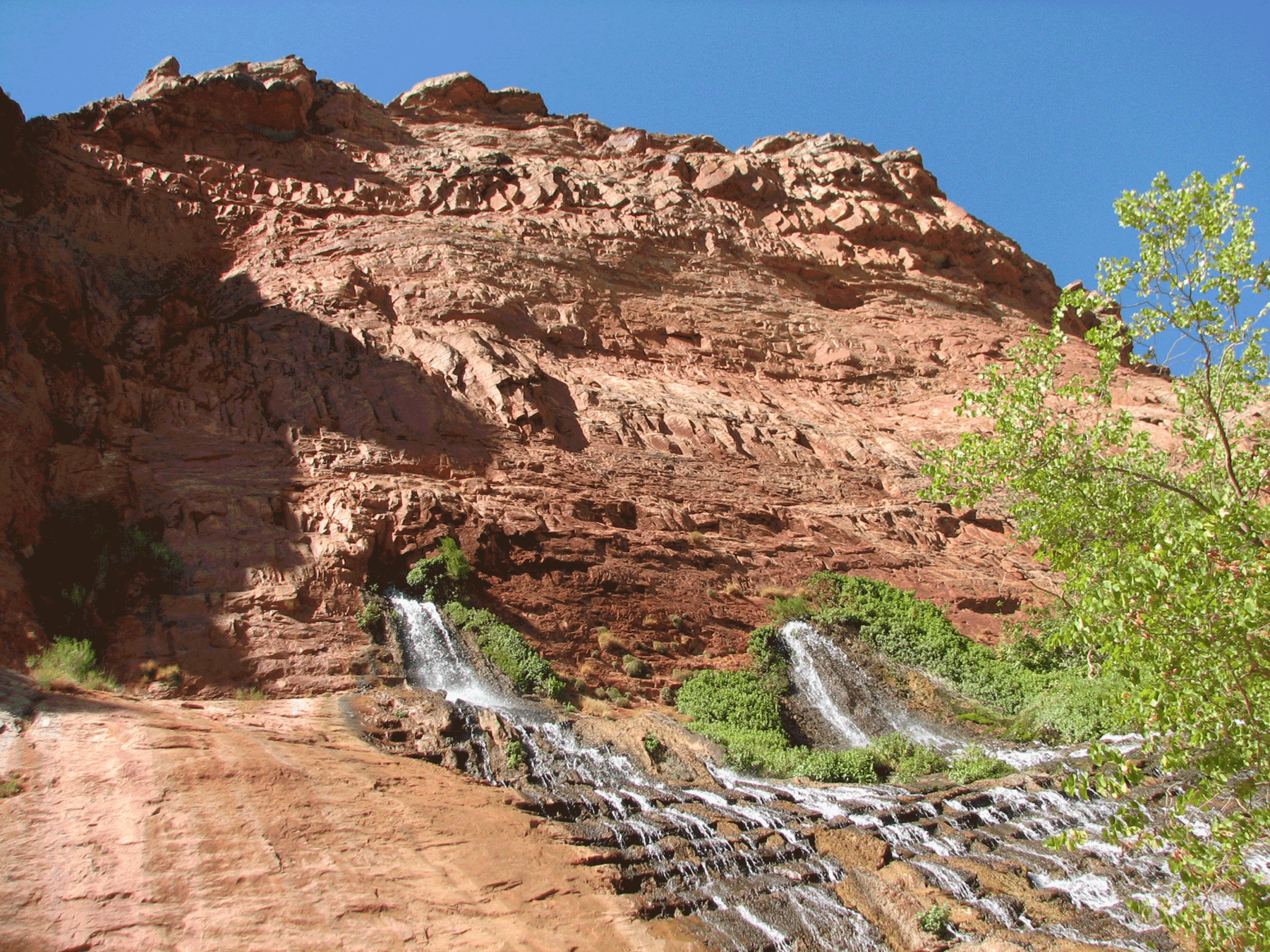
Small falls found along Havasu Creek. August 2015. Photo credit: Brad van Gosen , USGS .
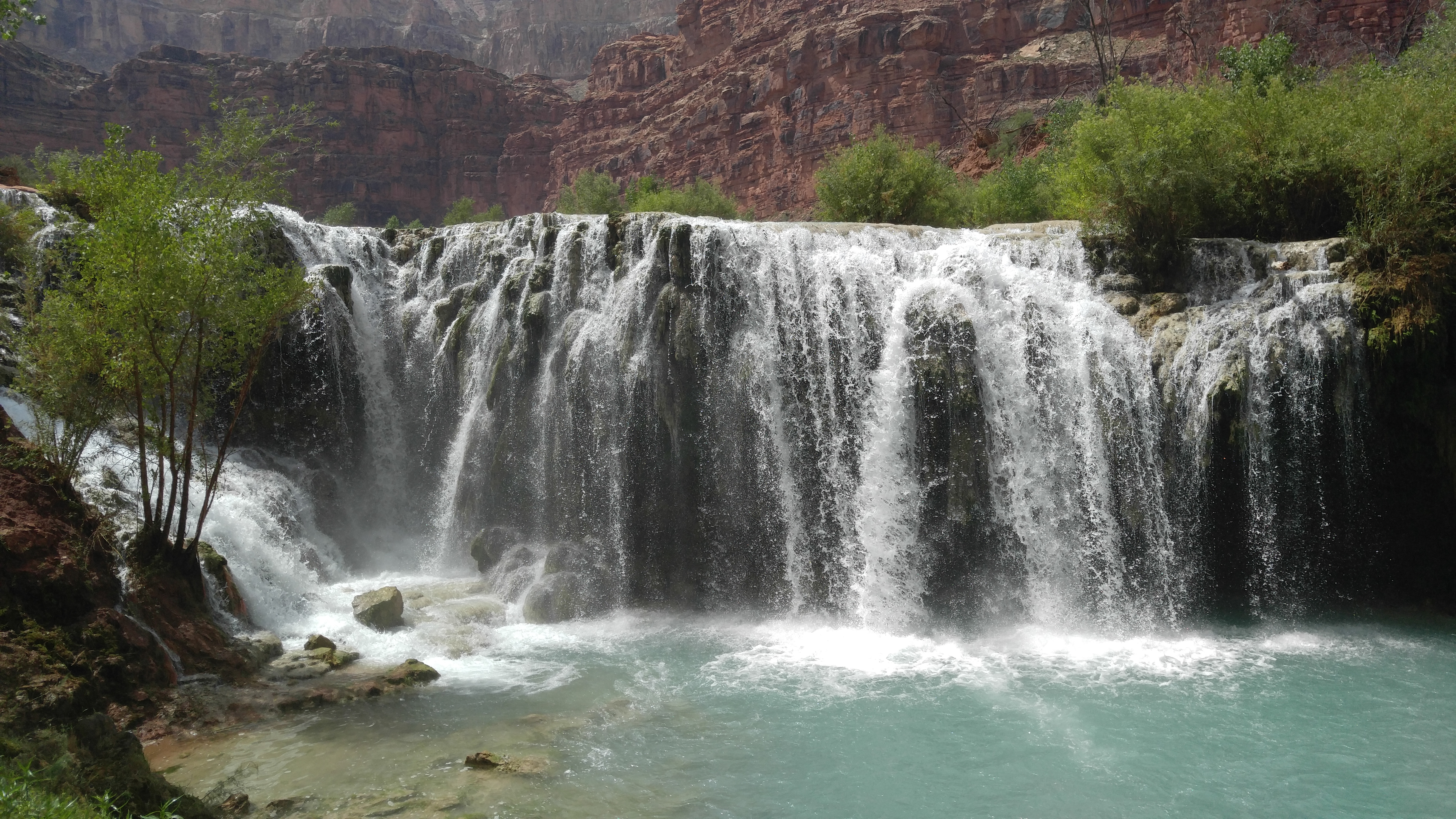
View of a small waterfall along Havasu Creek. August 2015. Photo credit: Brad van Gosen , USGS .
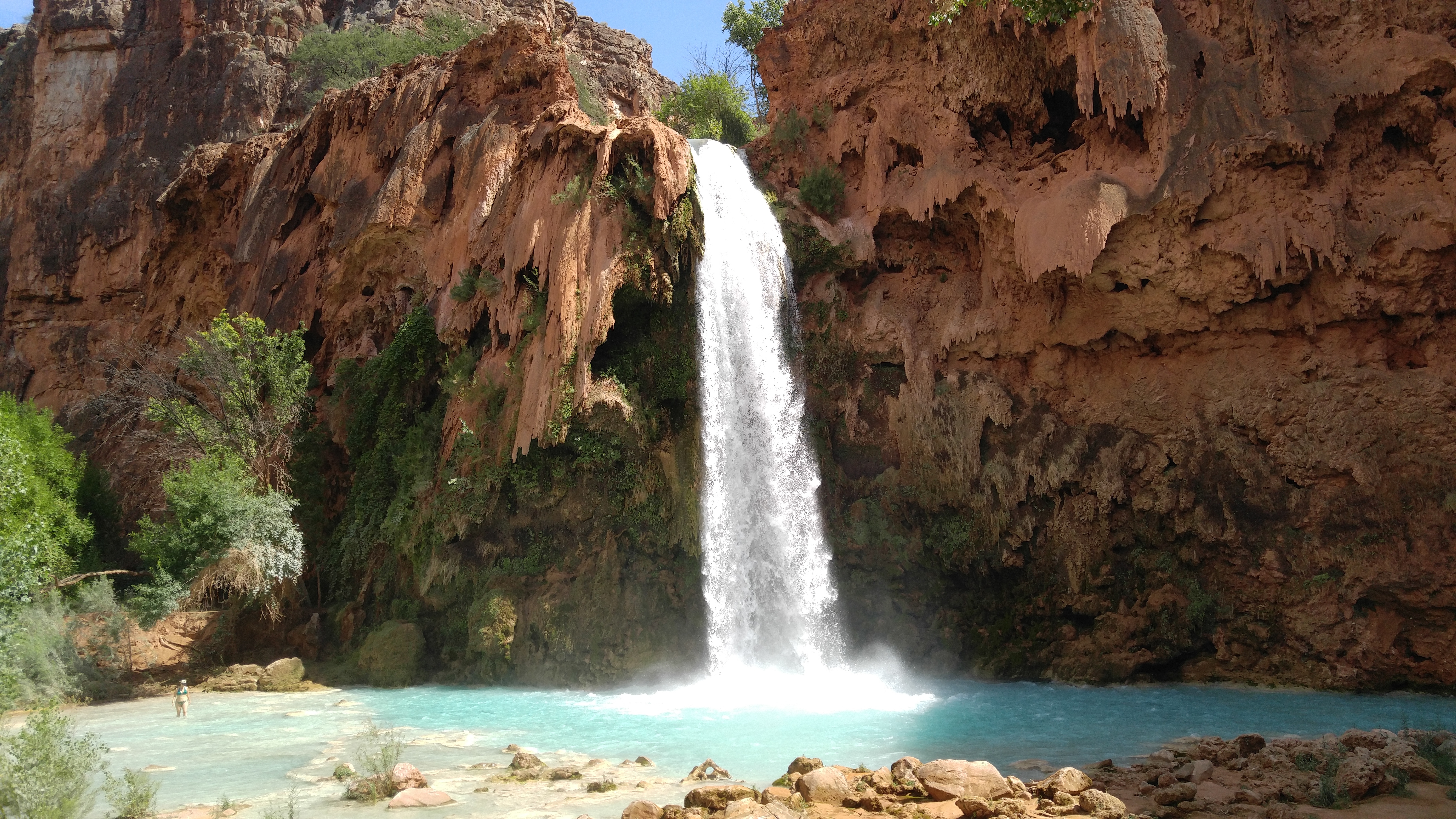
Iconic Havasu Falls along the Havasu Creek. August 2015. Photo credit: Brad van Gosen , USGS .
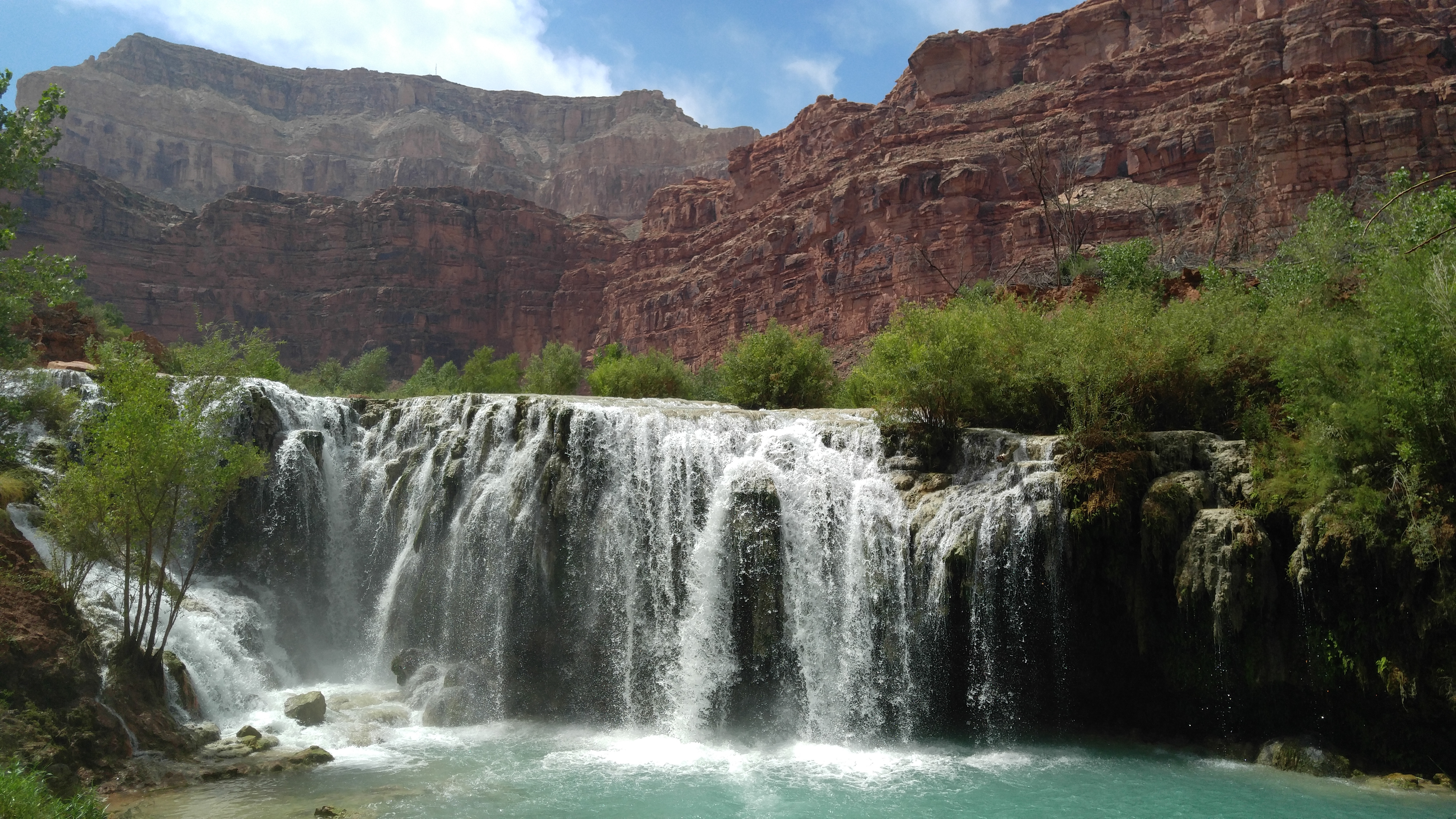
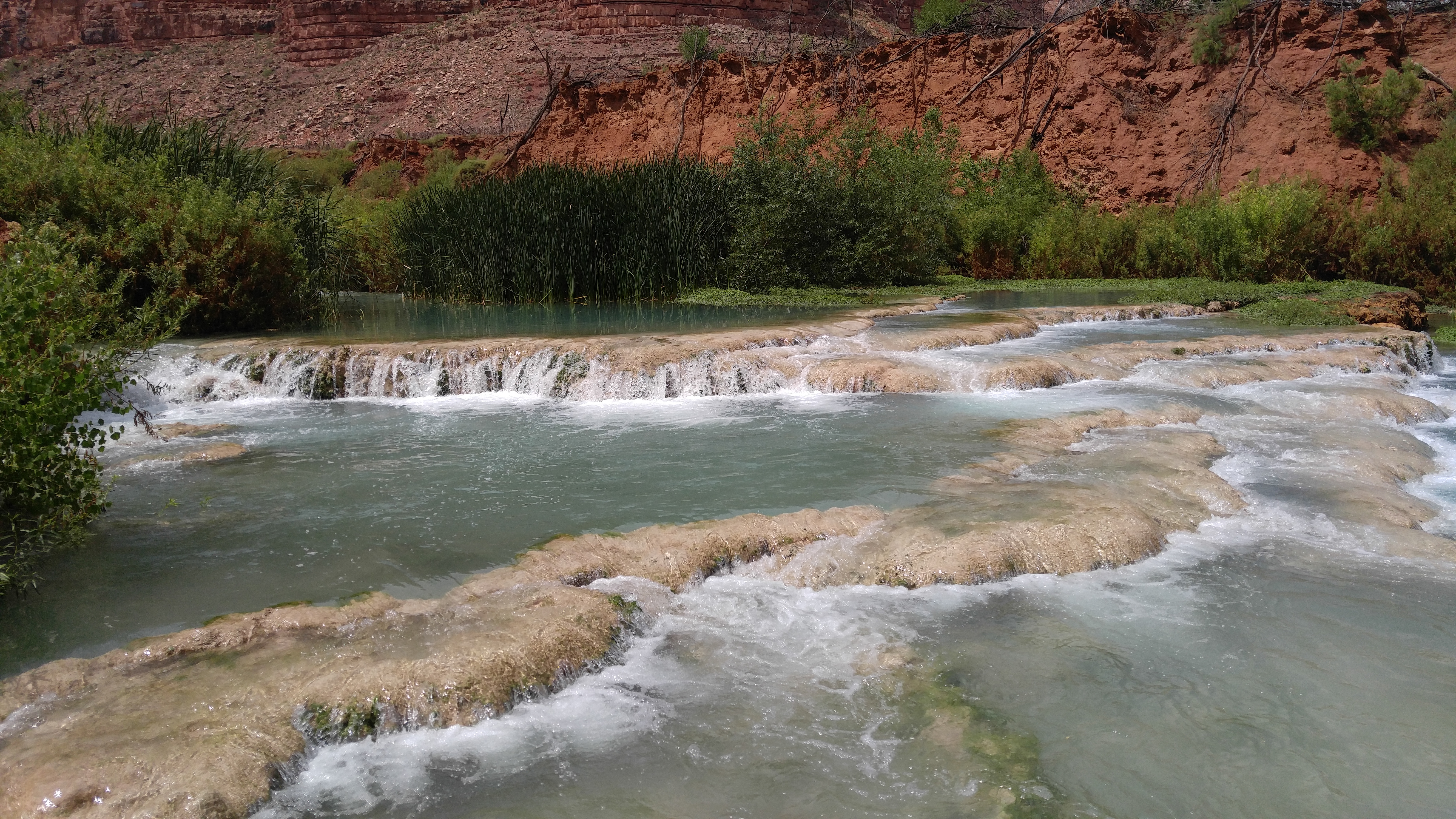
Small falls along Havasu Creek. August 2015. Photo credit: Brad van Gosen , USGS .
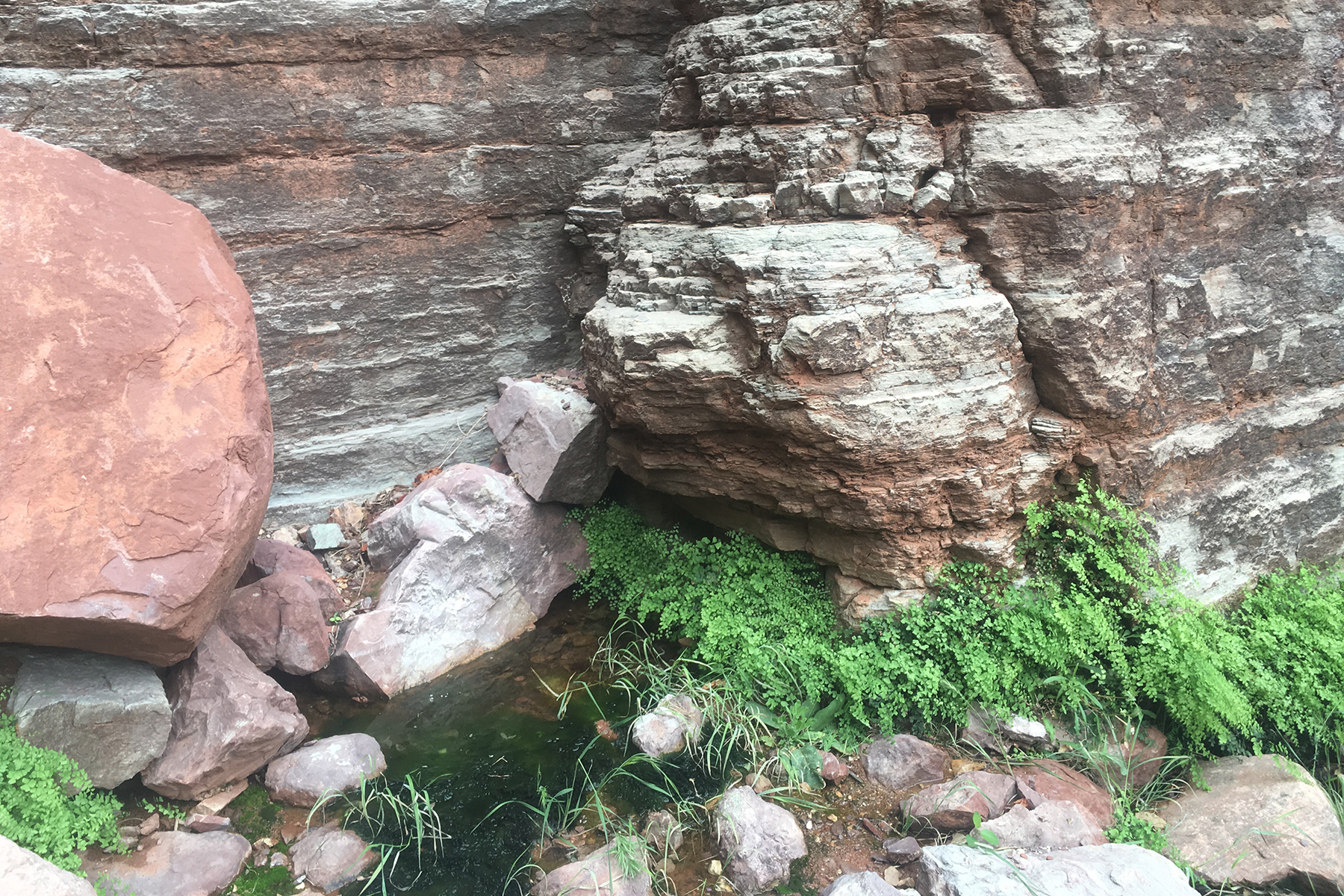
Terrace deposits (tufa) on Havasu Creek.. August 2015. Photo credit: Brad van Gosen , USGS .
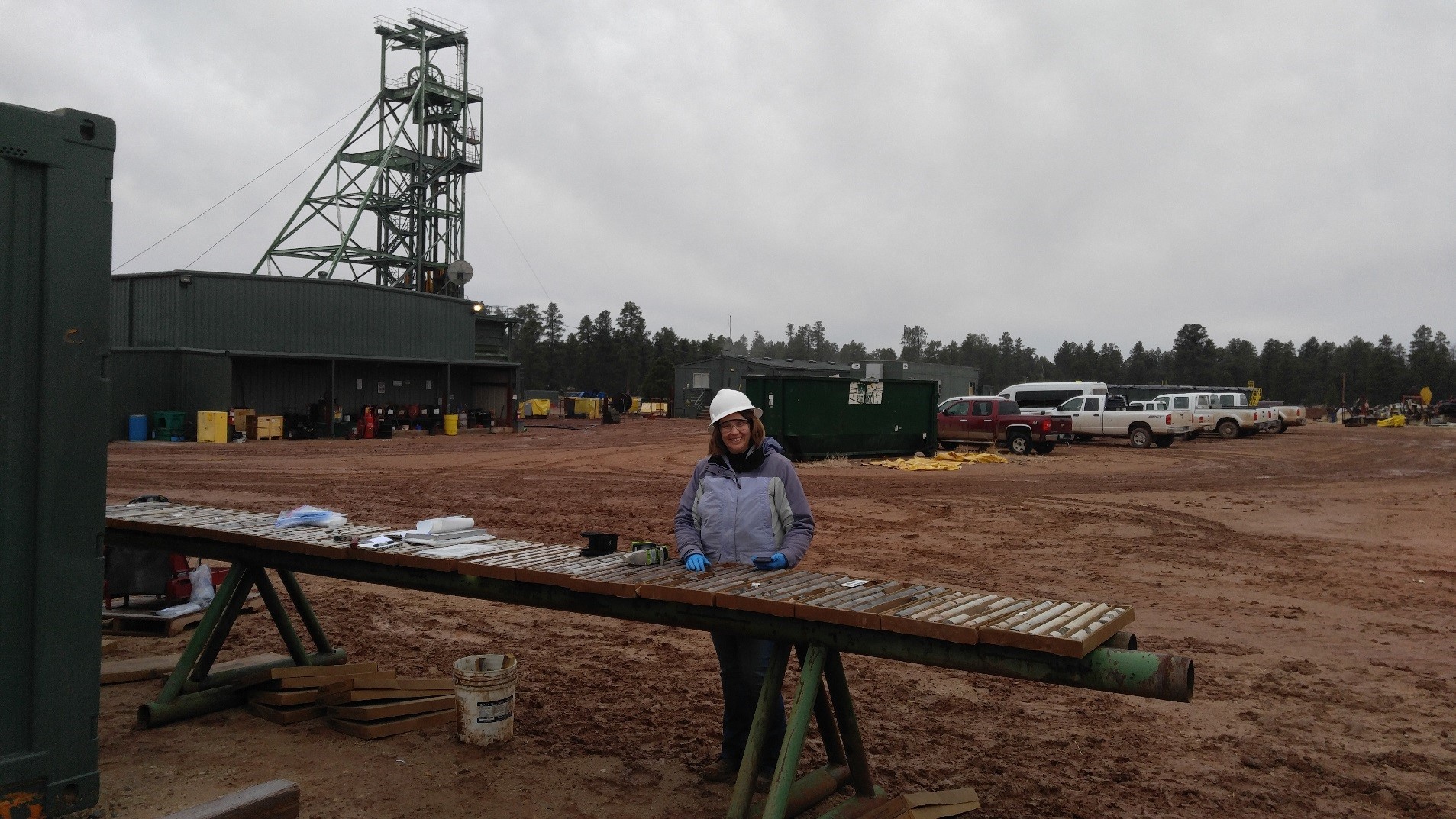
USGS scientist logging core. Photo credit: Brad Van Gosen , USGS .
Monitoring site at Little Colorado River above the Mouth near Desert View, AZ (USGS site ID 09402300) during baseflow conditions. November 2018. Photo credit: Michael Robinson , USGS .
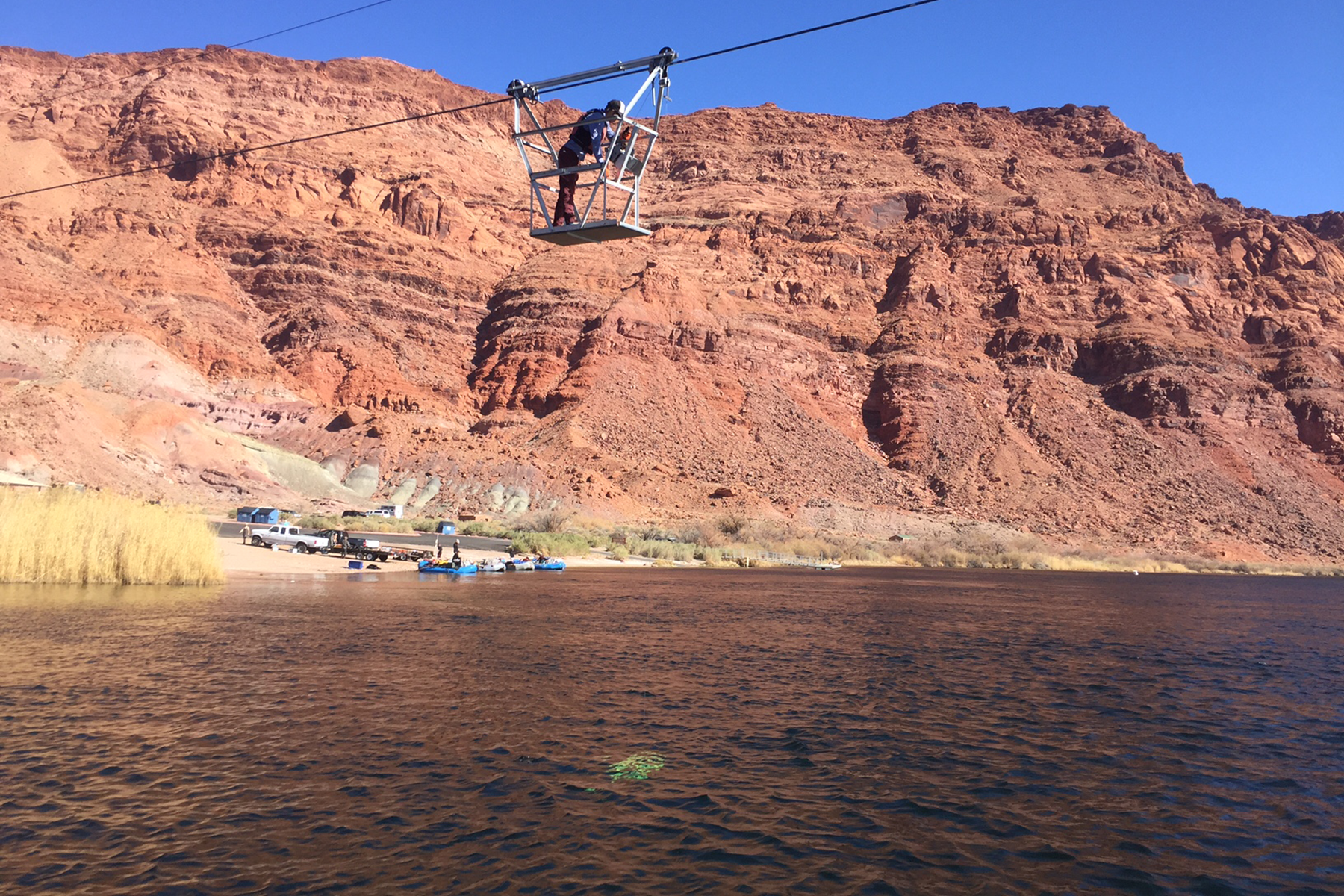
A USGS scientist collects an Equal Width Interval (EWI) water sample from cableway at monitoring site Colorado River at Lees Ferry, AZ (USGS site ID 09380000). February 2018. Photo credit: Joel Unema , USGS .
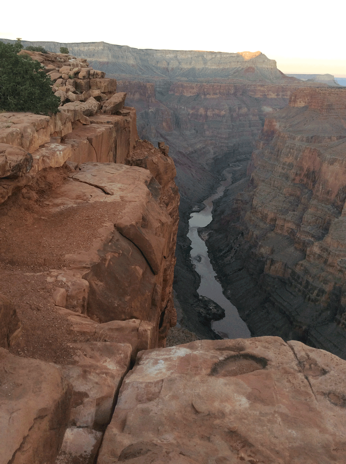
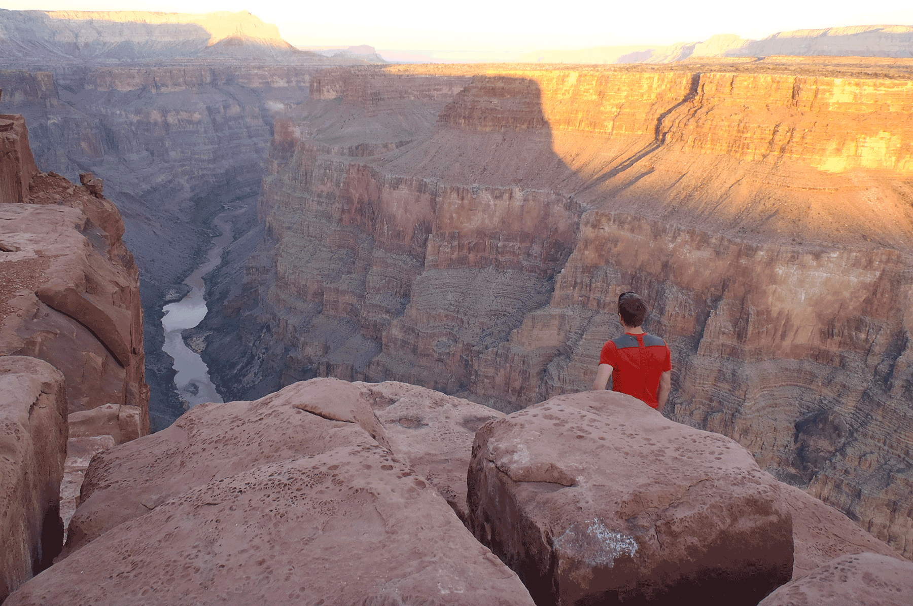
Colorado River from Toroweep overlook, Grand Canyon National Park. October 2014. Photo credit: Katie Walton-Day , USGS .
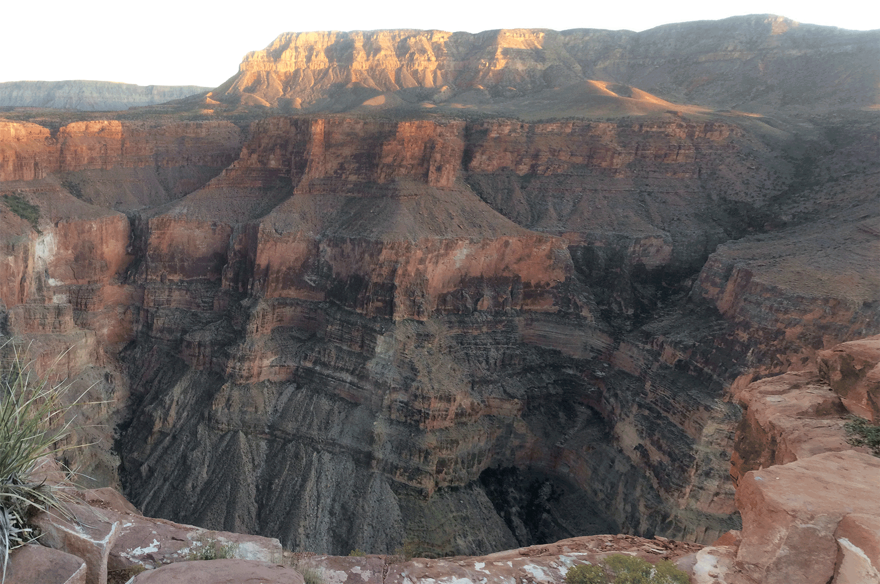
Grand Canyon from Toroweep overlook, Grand Canyon National Park. October 2014. Photo credit: Katie Walton-Day , USGS .
Near Toroweep overlook, Grand Canyon National Park. October 2014. Photo credit: Katie Walton-Day , USGS .
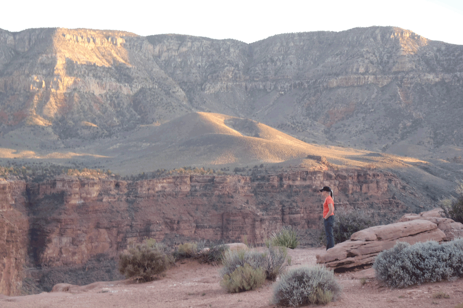
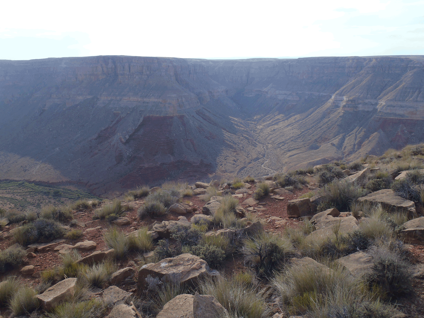
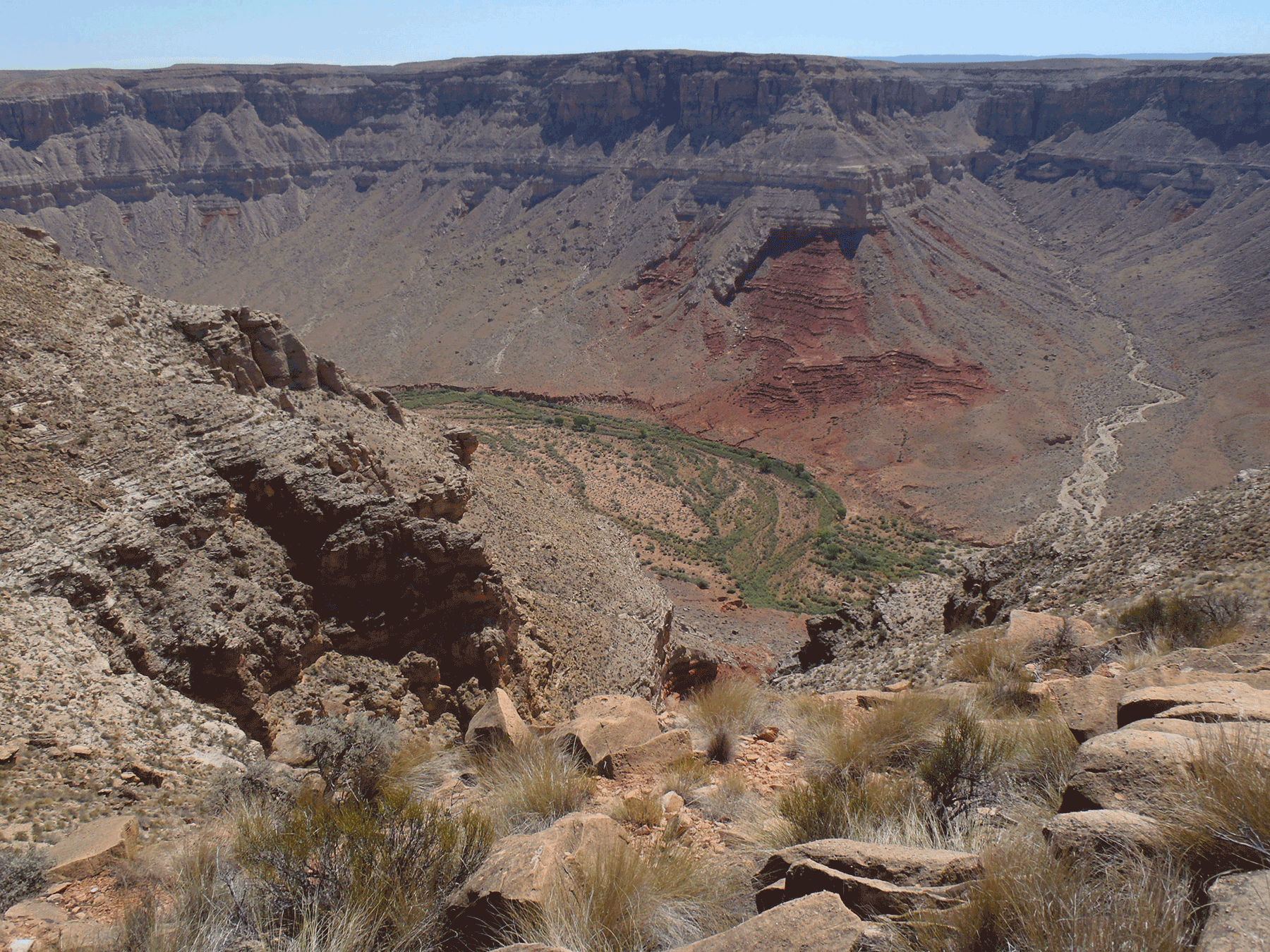
Kanab Creek overlook, near Pinenut mine, looking toward Grand Canyon. October 2015. Photo credit: Katie Walton-Day , USGS .
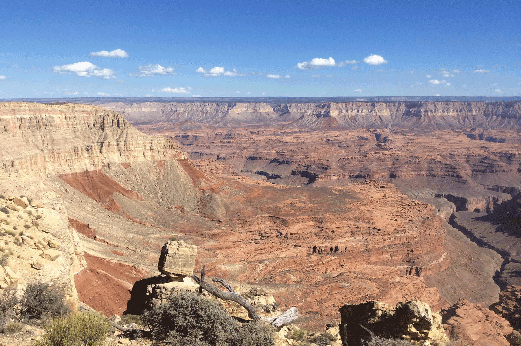
Kanab Creek overlook, near Pinenut mine, looking toward Grand Canyon. October 2015. Photo credit: Katie Walton-Day , USGS .
Kanab Creek overlook, near Pinenut mine. October 2015. Photo credit: Katie Walton-Day , USGS .
Kanab Creek overlook, near Pinenut mine, looking toward Grand Canyon. October 2015. Photo credit: Katie Walton-Day , USGS .
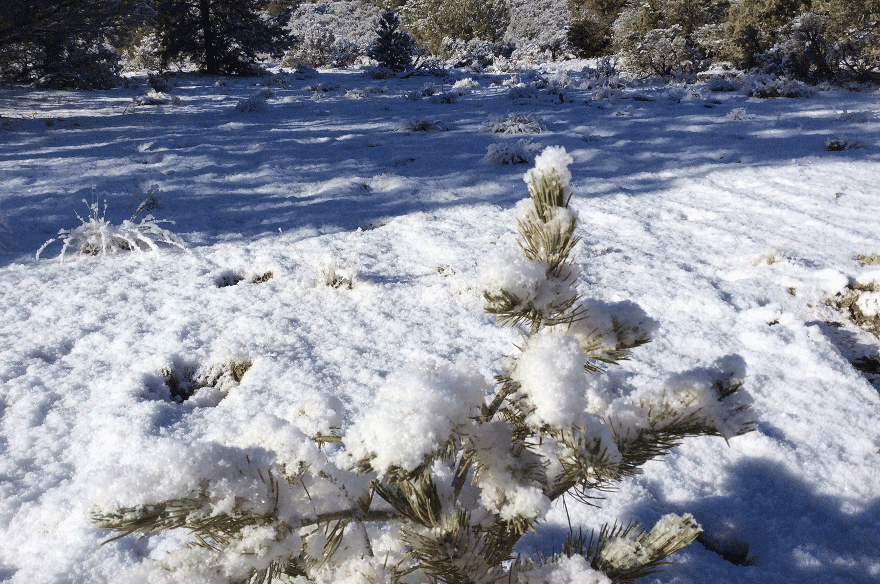
Pinyon Pine and hoar frost, near Pinenut mine. March 2015. Photo credit: Katie Walton-Day , USGS .
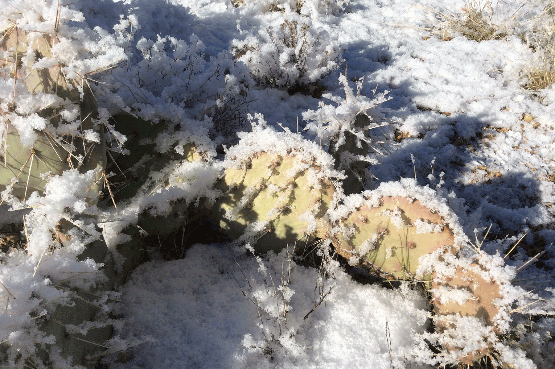
Prickly Pear Cactus and hoar frost, near Pinenut mine. March 2015. Photo credit: Katie Walton-Day , USGS .
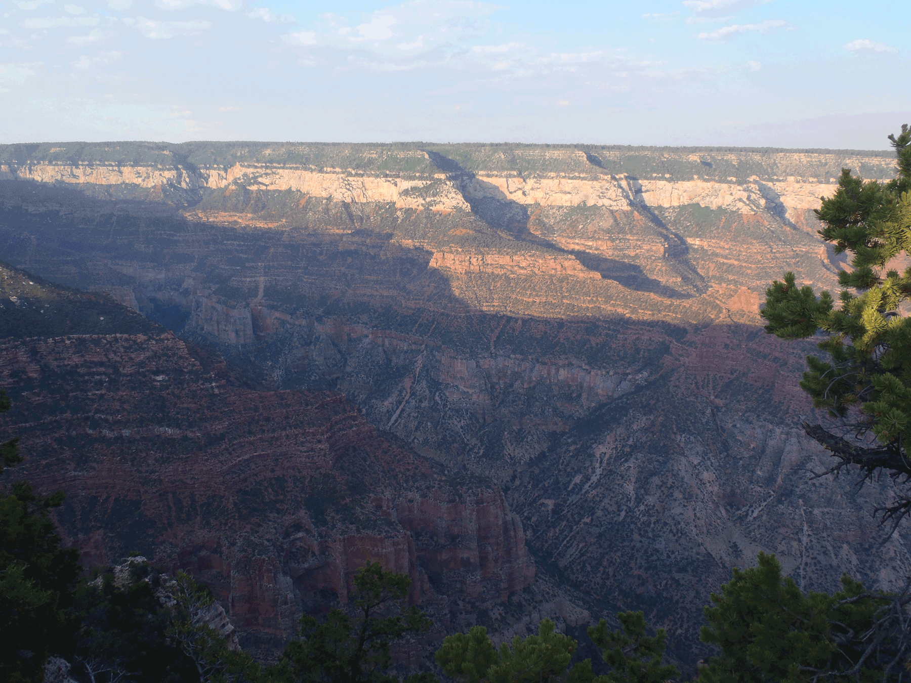
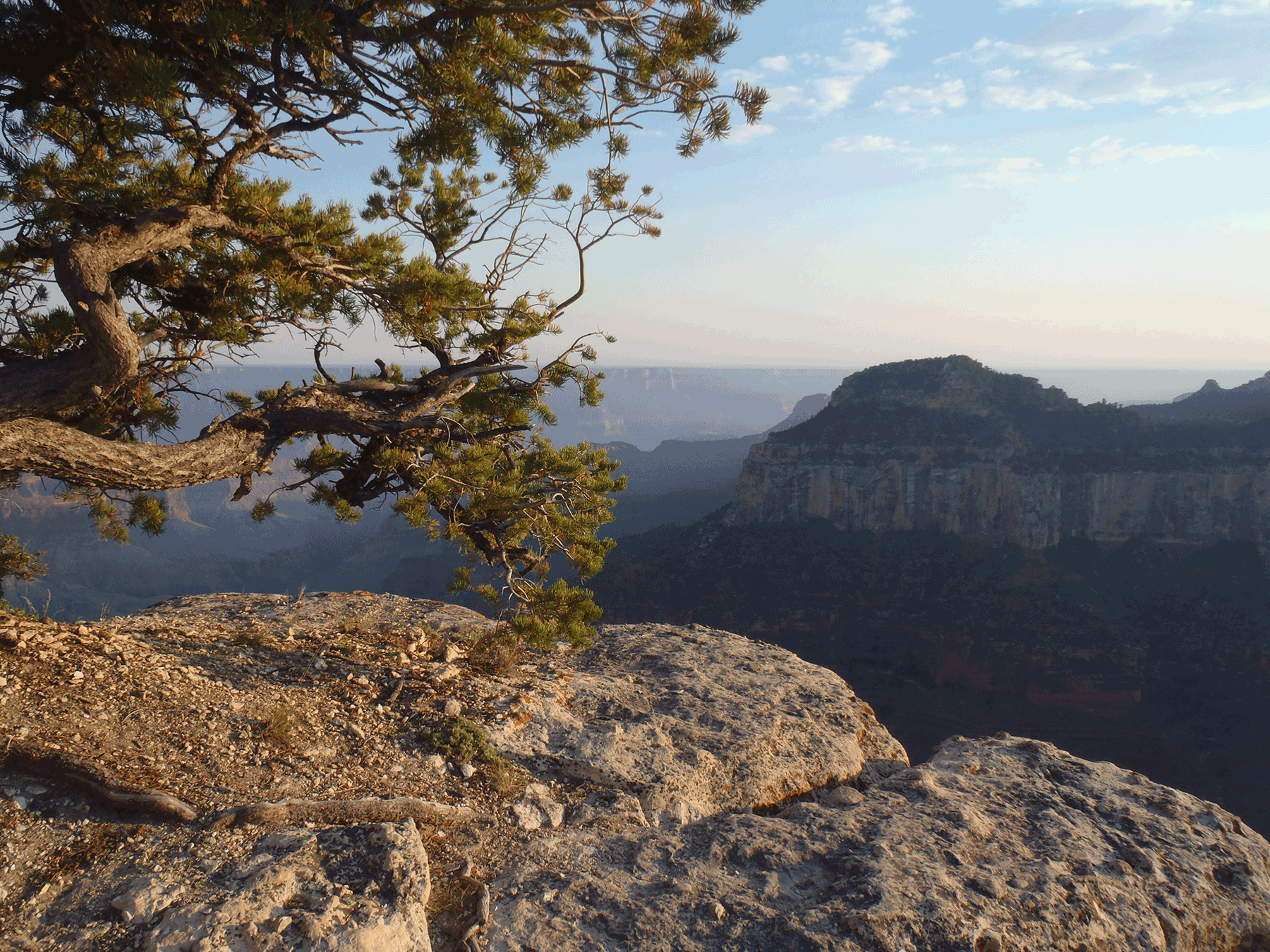
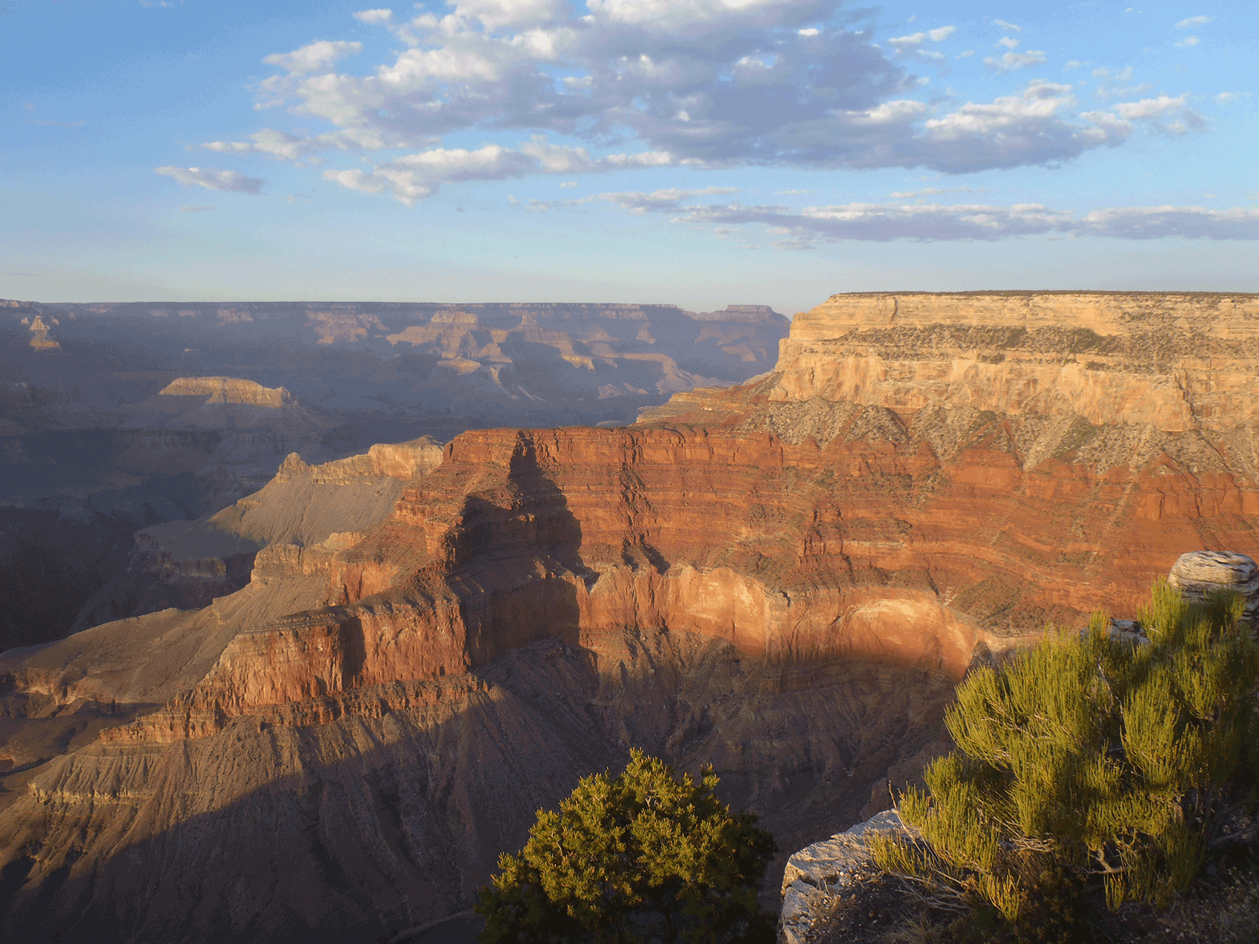
Toroweep overlook, Grand Canyon National Park. October 2014. Photo credit: Katie Walton-Day , USGS .
Toroweep overlook, Grand Canyon National Park. October 2014. Photo credit: Katie Walton-Day , USGS .
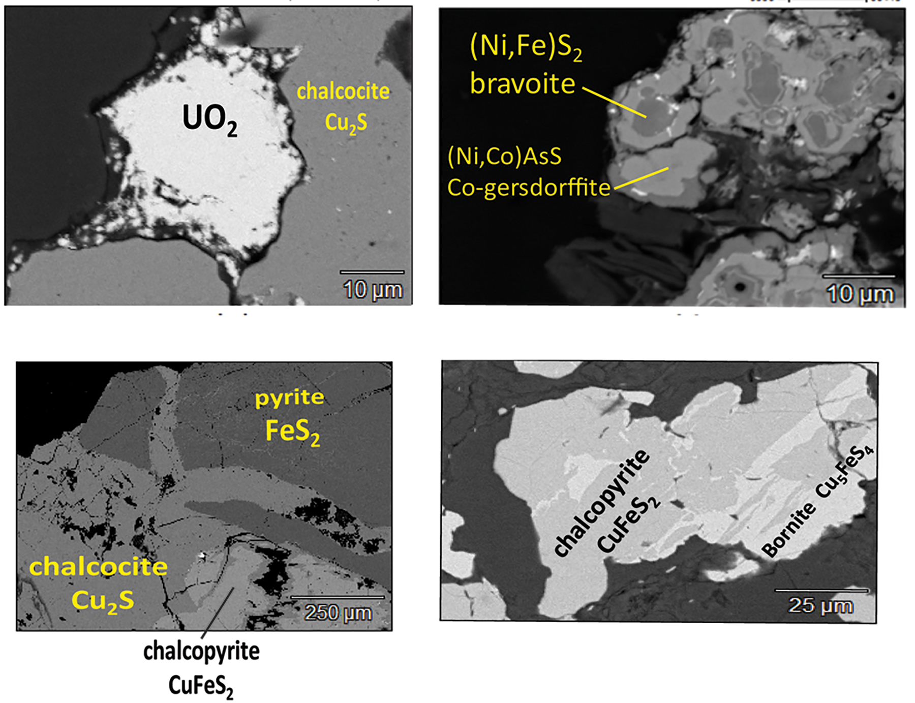
Scanning electron microscope images of sulfur-rich minerals that are intergrown with the uranium mineralization (U oxide) in the Canyon mine deposit. May 2018. Photo credit: Brad Van Gosen , USGS .
Groundwater emerging from the base of the Redwall Limestone at the head of the Horn Creek drainage. May 2018. Photo credit: Kimberly Beisner , USGS .
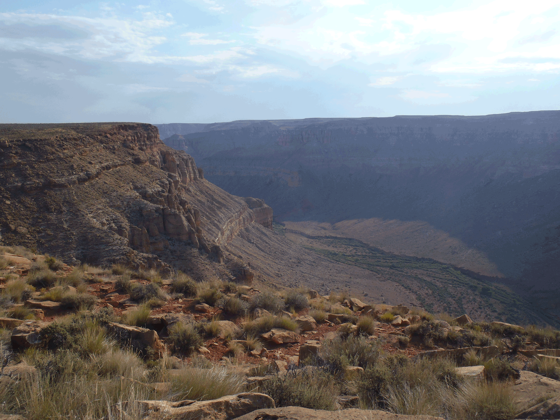
Kanab Creek Canyon near Kanab North Mine. June 2016. Photo credit: Katie Walton-Day , USGS .
Kanab Creek Canyon near Kanab North Mine. June 2016. Photo credit: Katie Walton-Day , USGS .
Kanab Creek Canyon near Kanab North Mine. June 2016. Photo credit: Katie Walton-Day , USGS .
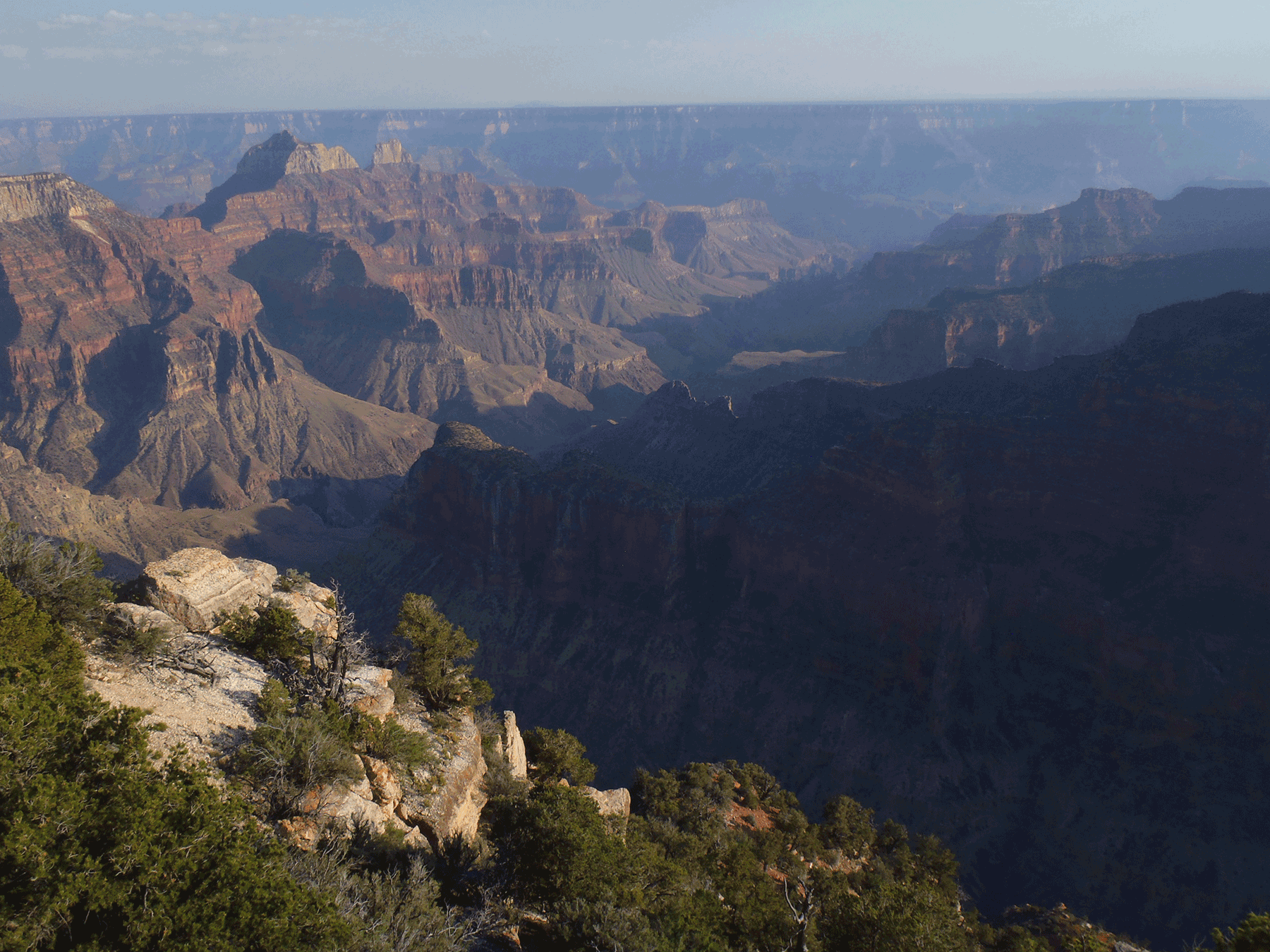
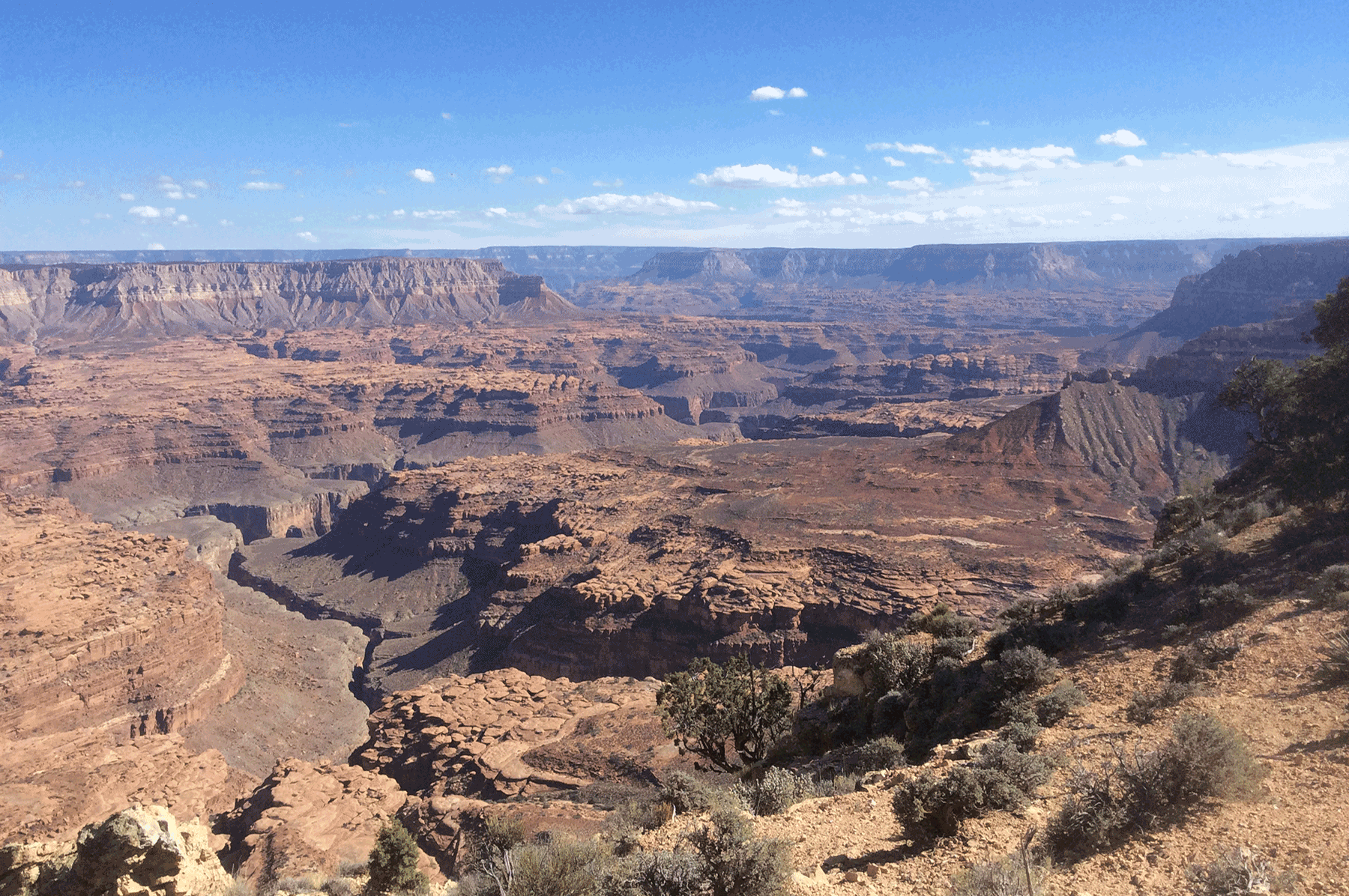
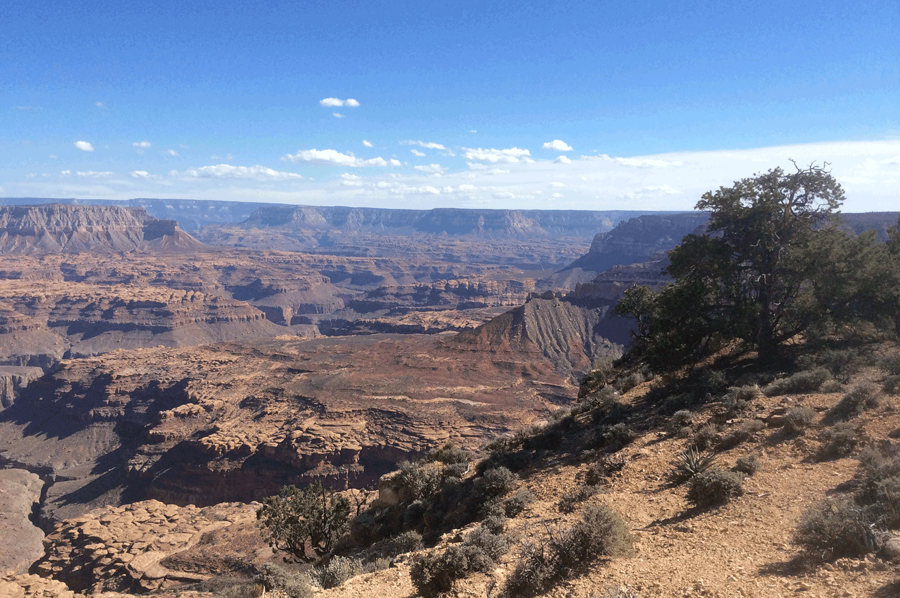
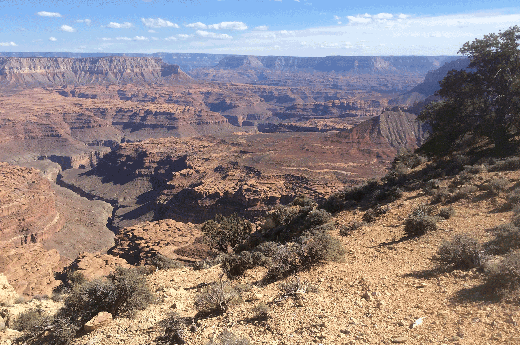
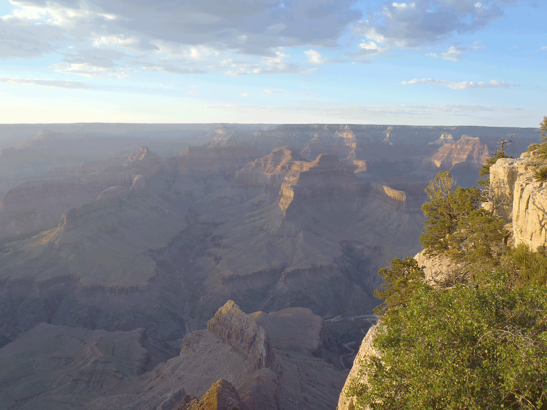
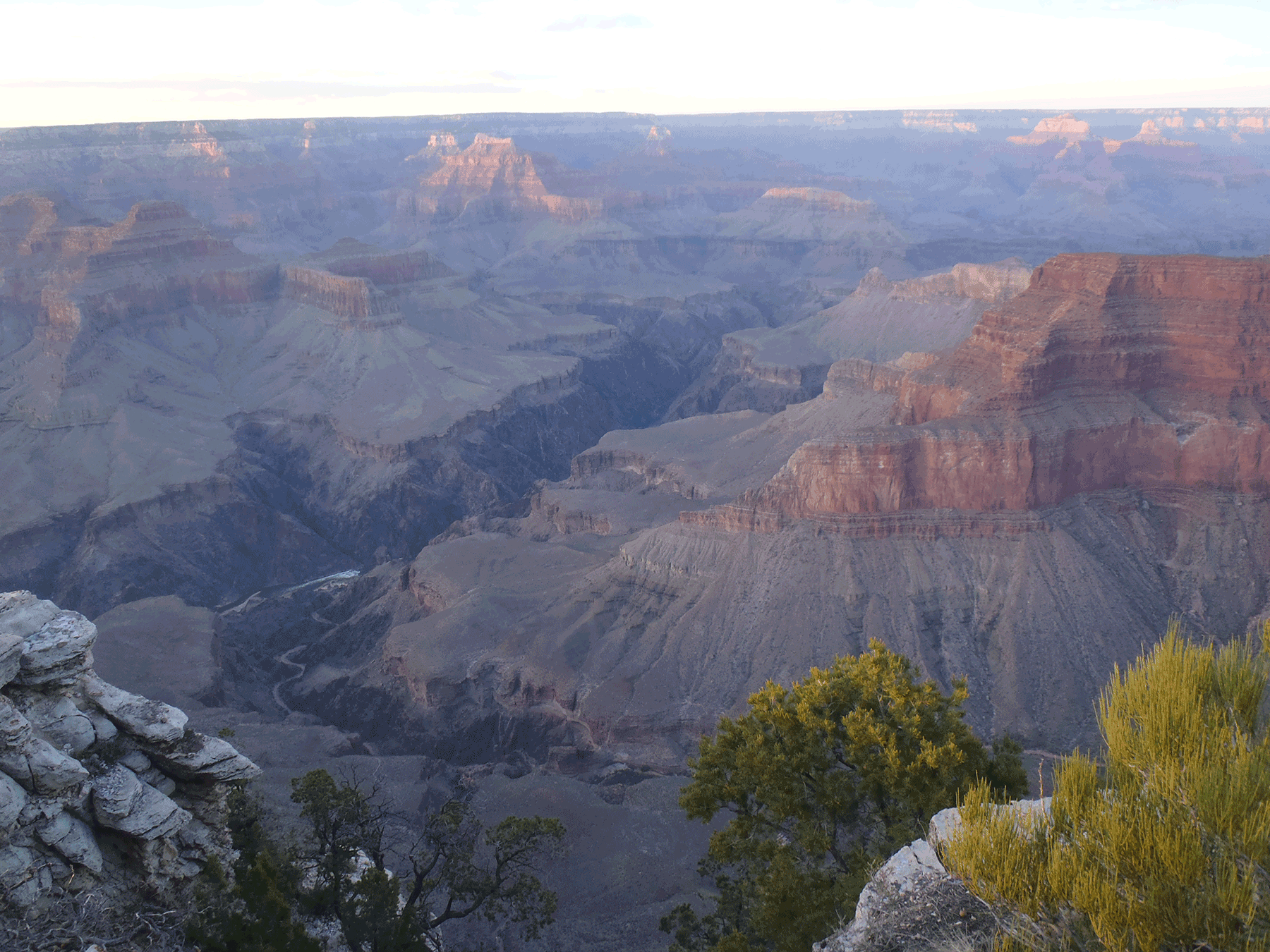
View of Grand Canyon from North Rim, Grand Canyon, National Park. June 2016. Photo credit: Katie Walton-Day , USGS .
View of Grand Canyon from North Rim, Grand Canyon, National Park. June 2016. Photo credit: Katie Walton-Day , USGS .
View of Grand Canyon from North Rim, Grand Canyon, National Park. June 2016. Photo credit: Katie Walton-Day , USGS .
View of Grand Canyon from North Rim, Grand Canyon, National Park. June 2016. Photo credit: Katie Walton-Day , USGS .
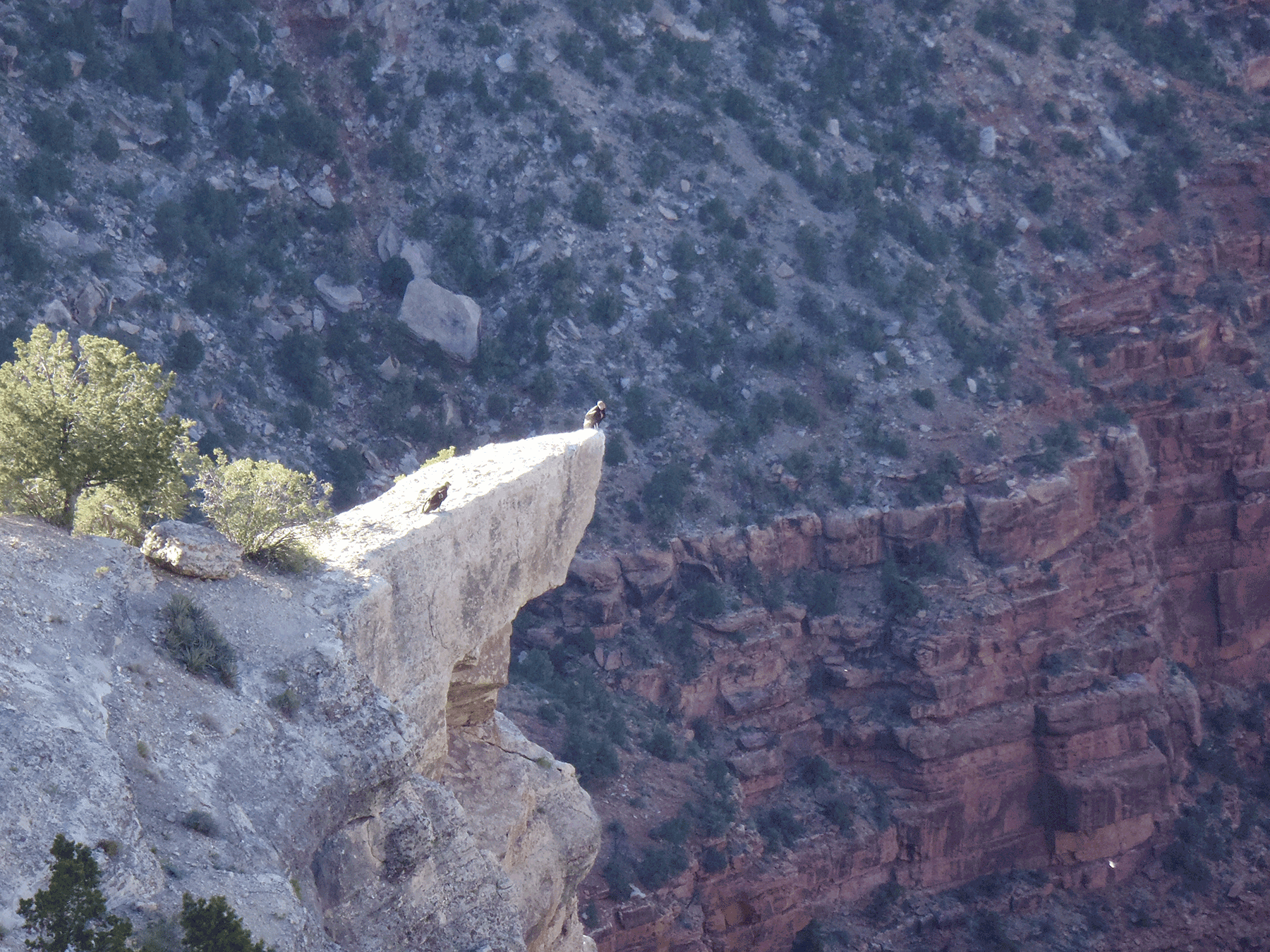
California Condors, South Rim, Grand Canyon National Park. June 2013. Photo credit: Katie Walton-Day , USGS .
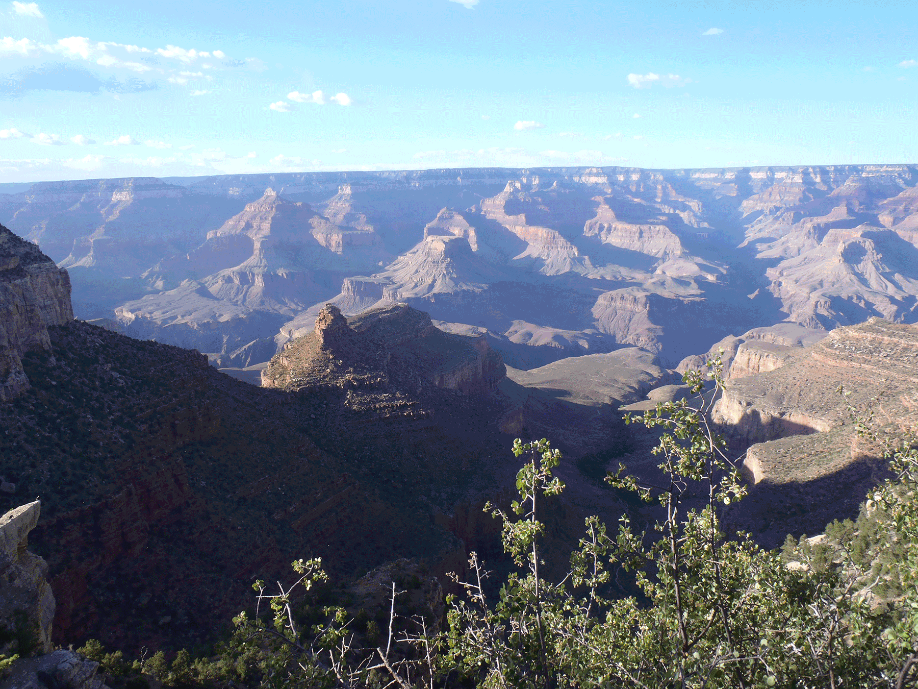
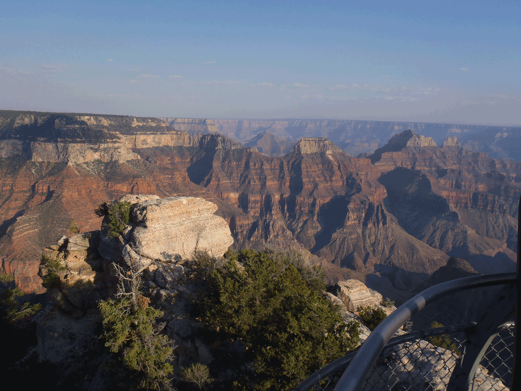
View into Grand Canyon from South Rim, Grand Canyon National Park. June 2013. Photo credit: Katie Walton-Day , USGS .
View into Grand Canyon from South Rim, Grand Canyon National Park. June 2013. Photo credit: Katie Walton-Day , USGS .
View into Grand Canyon from South Rim, Grand Canyon National Park. June 2013. Photo credit: Katie Walton-Day , USGS .
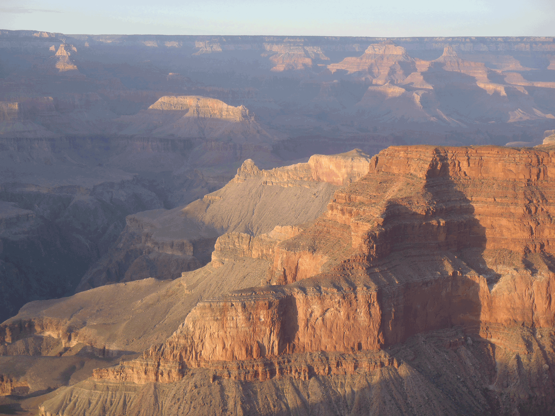
View into Grand Canyon from South Rim, Grand Canyon National Park. June 2013. Photo credit: Katie Walton-Day , USGS .
View into Grand Canyon from South Rim, Grand Canyon National Park. June 2013. Photo credit: Katie Walton-Day , USGS .
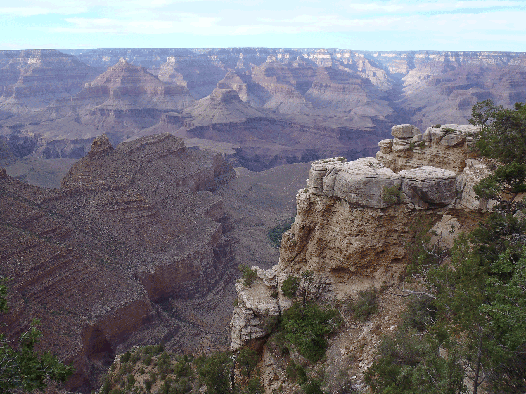
View into Grand Canyon from South Rim, Grand Canyon National Park. June 2013. Photo credit: Katie Walton-Day , USGS .
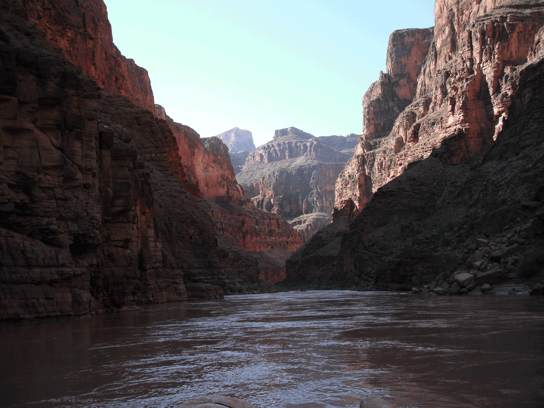
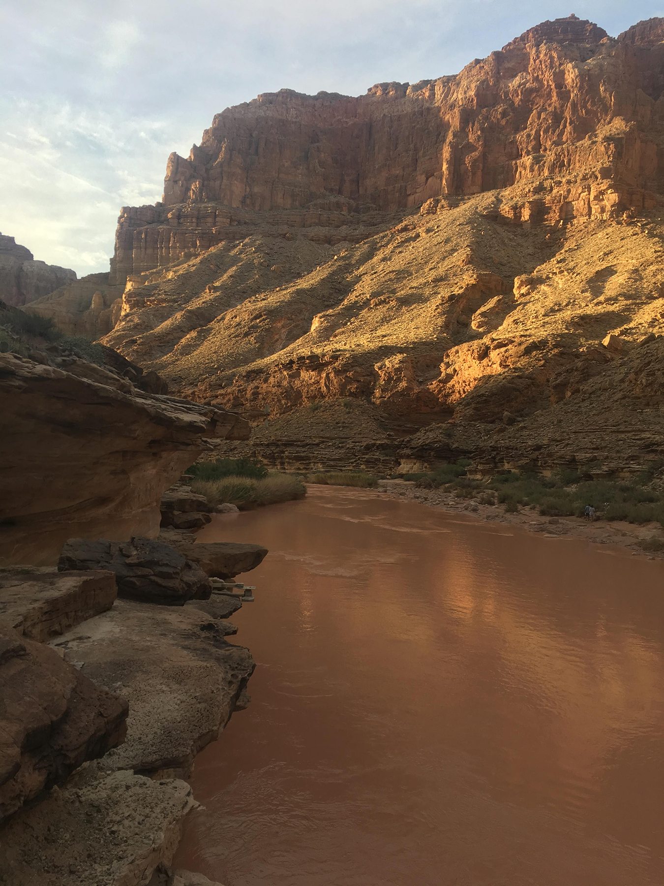
The Colorado River in Grand Canyon. Photo credit: Margot Truini , USGS .
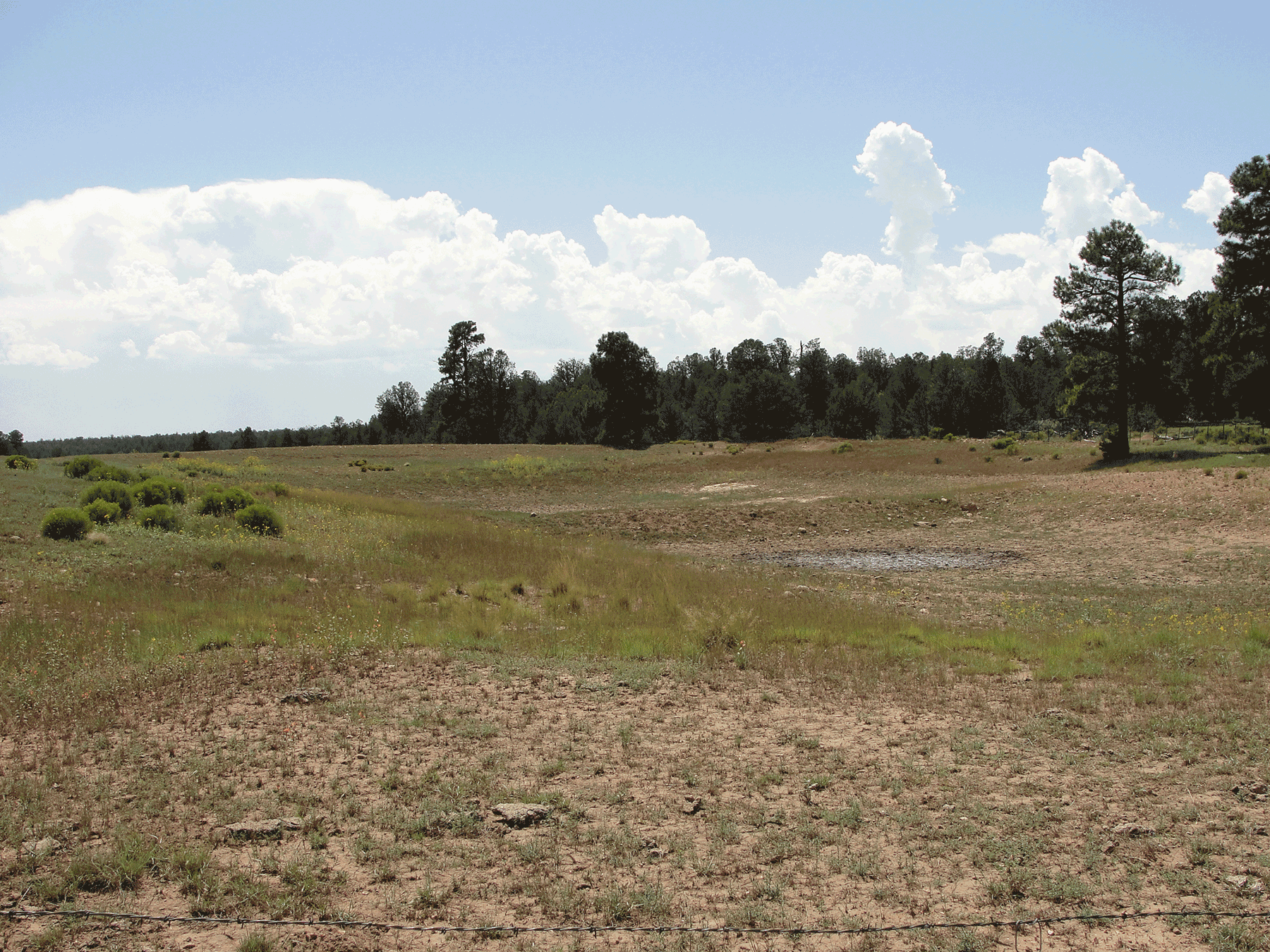
Owl Tank near Canyon Mine. August 2016. Photo credit: Jo Ellen Hinck , USGS .
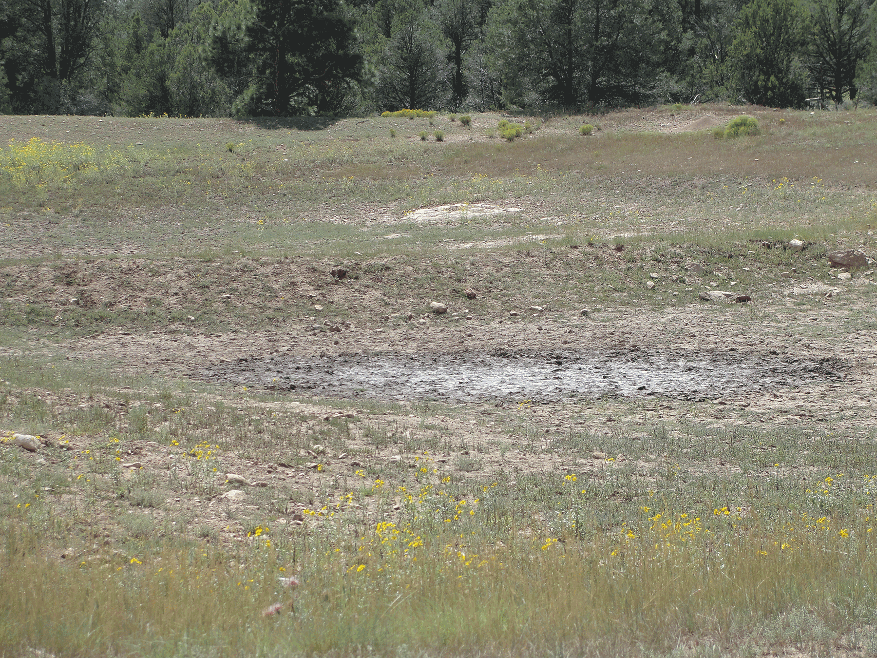
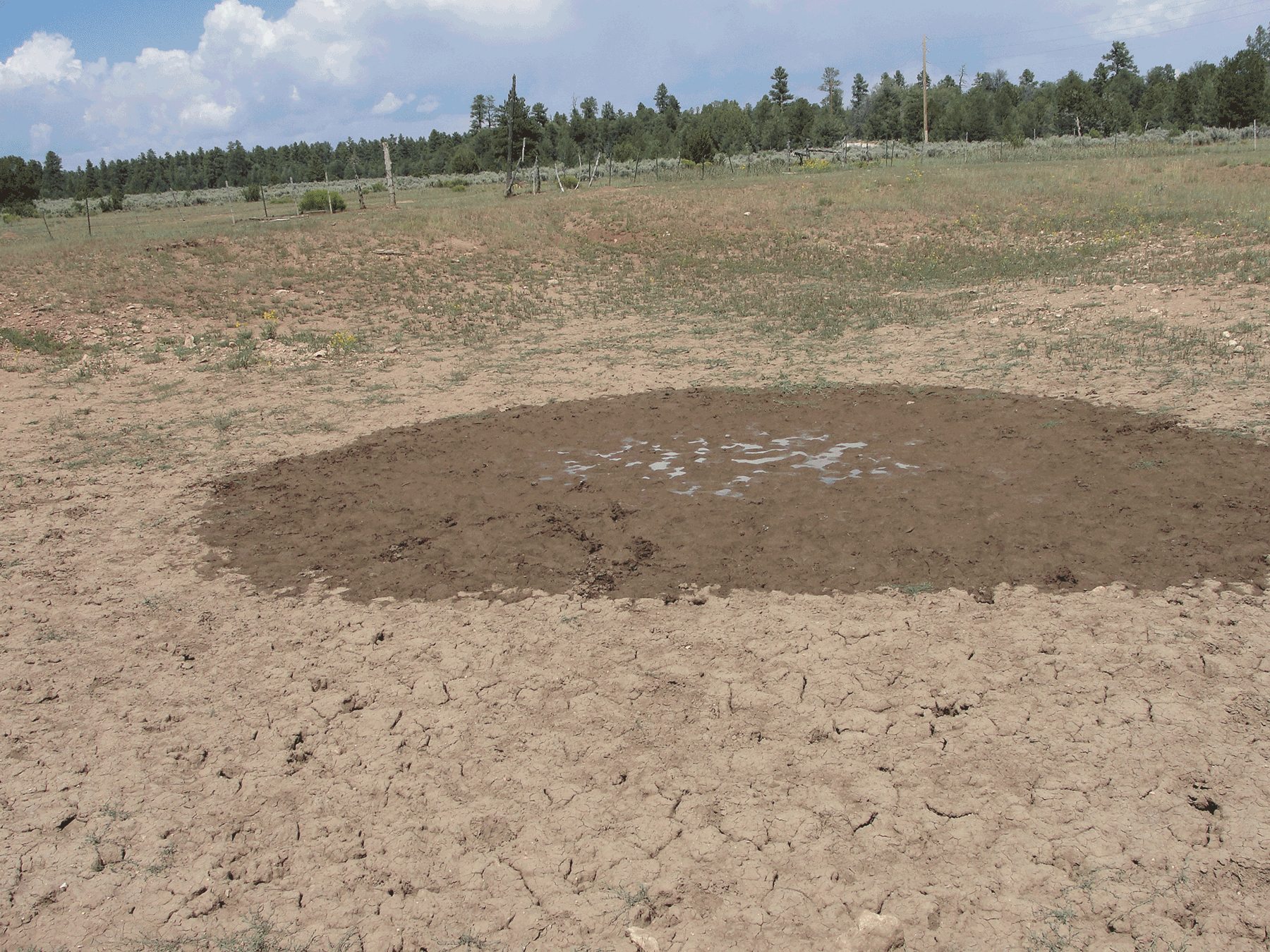
Limited water in Owl Tank near Canyon Mine. August 2016. Photo credit: Jo Ellen Hinck , USGS .
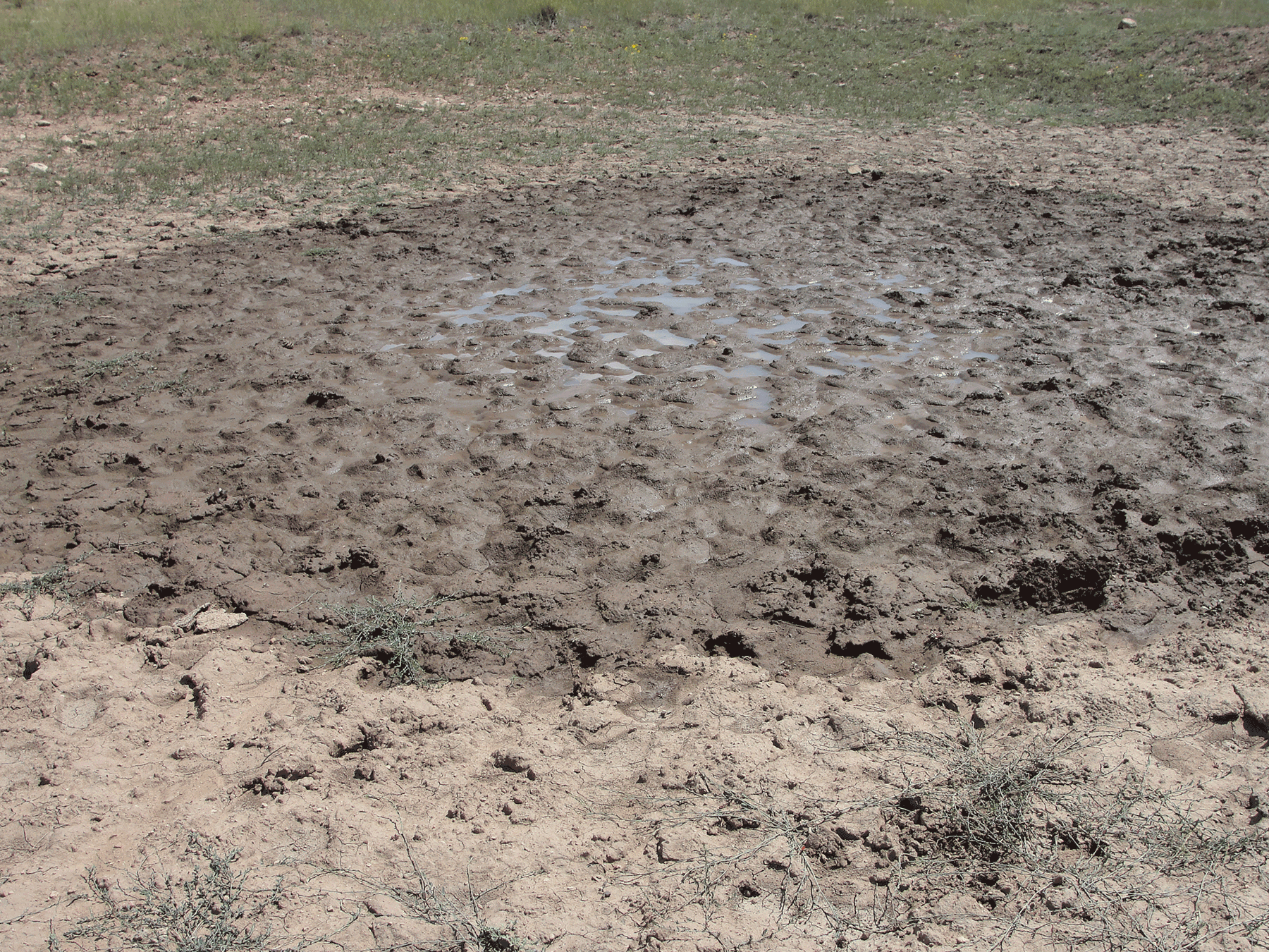
Limited water at Owl Tank. August 2016. Photo credit: Jo Ellen Hinck , USGS .
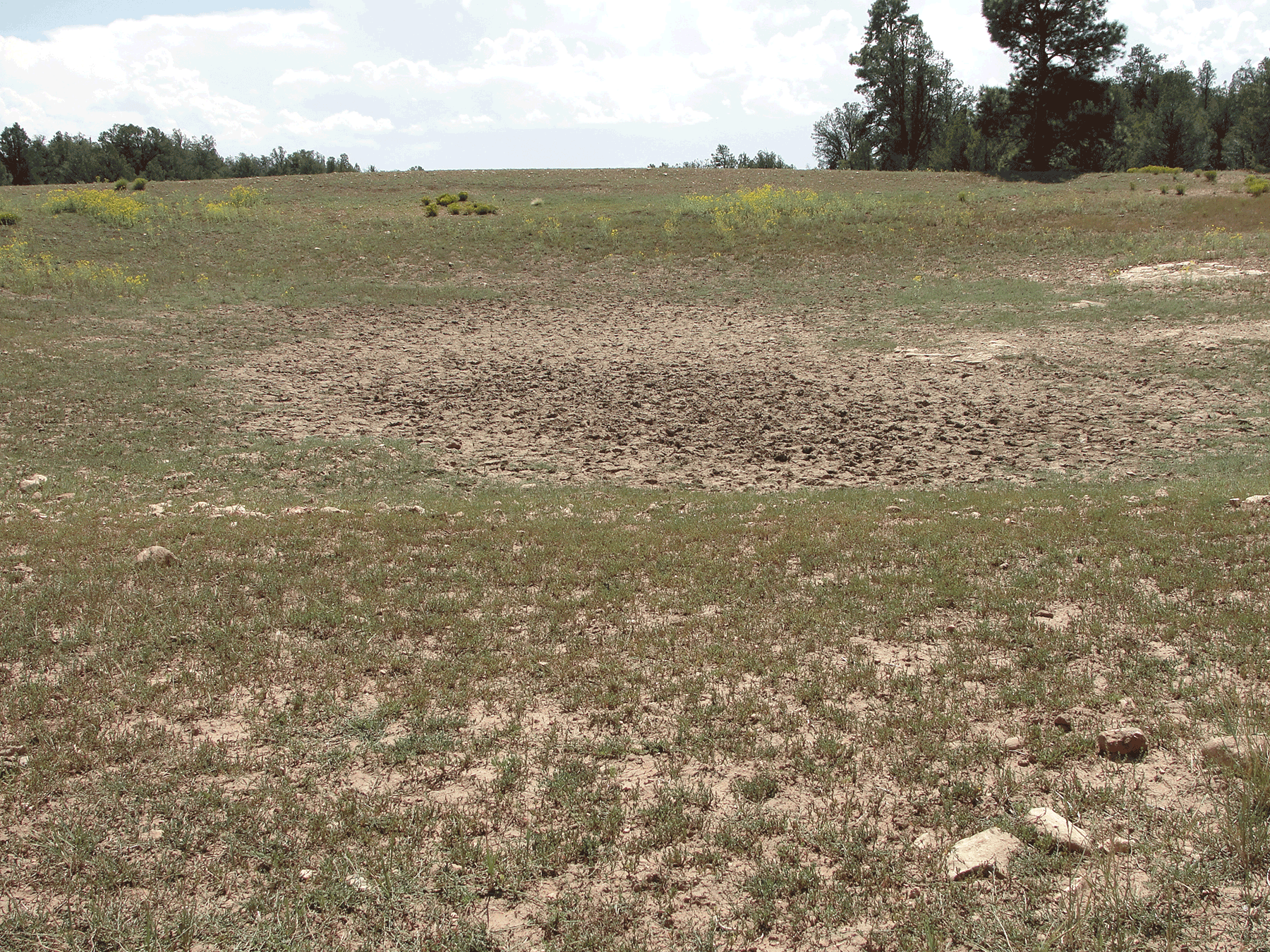
Owl Tank, August 2016. Owl Tank has two basins. At the time these photos were taken, one basin had less water than the other. August 2016. Photo credit: Jo Ellen Hinck , USGS .
Limited water at Owl Tank. August 2016. Photo credit: Jo Ellen Hinck , USGS .
Vaseys Paradise spring issuing from the Redwall Formation in Grand Canyon. Photo credit: Don Bills , USGS .
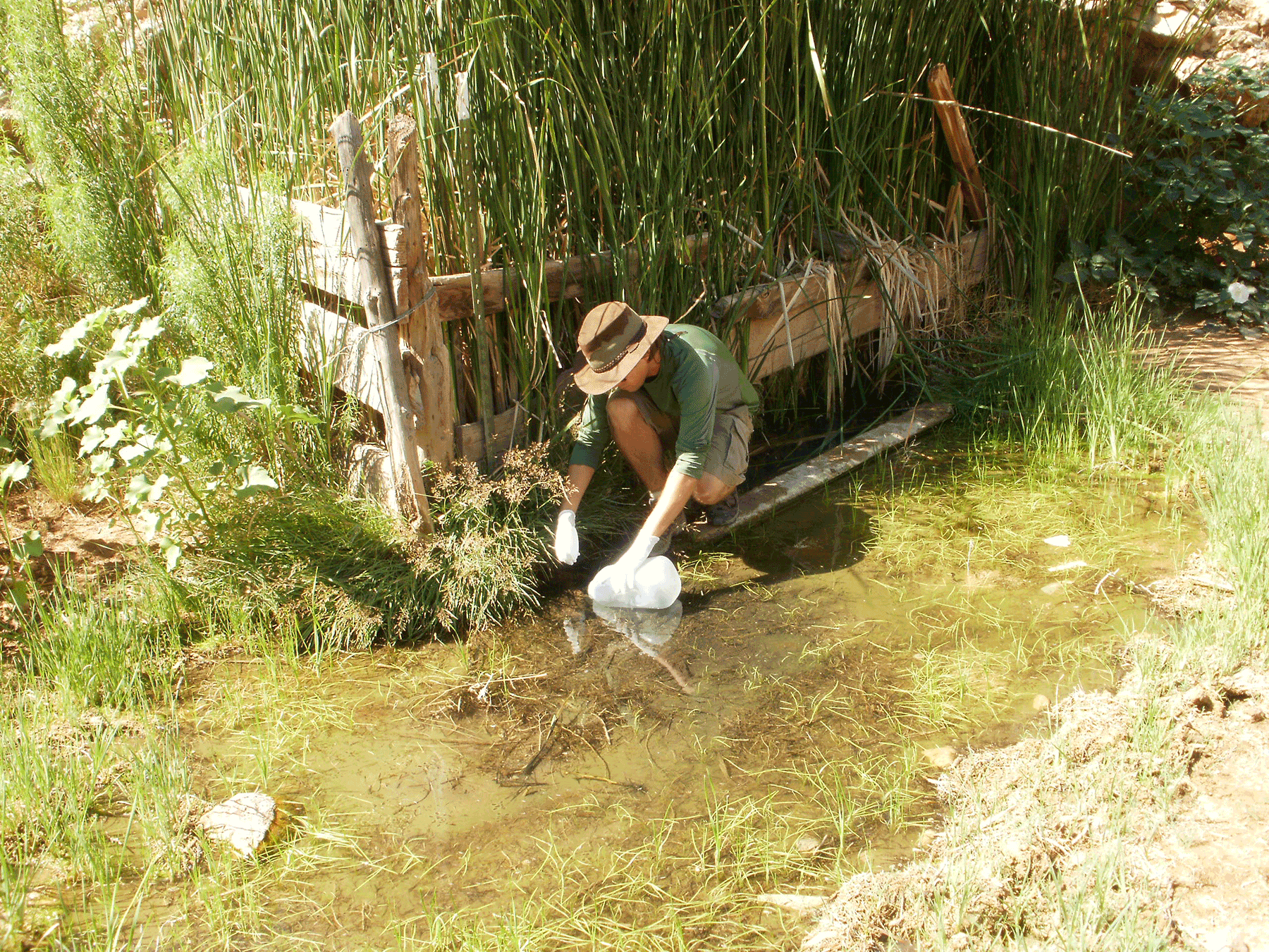
Sampling water from Willow spring in Hack Canyon, north of Grand Canyon. Photo credit: Fred Tillman , USGS .
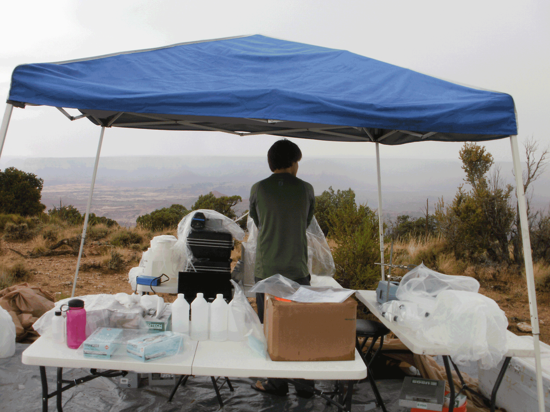
Processing water-quality samples from springs at Sowats Point, north rim of Grand Canyon. Photo credit: Fred Tillman , USGS .
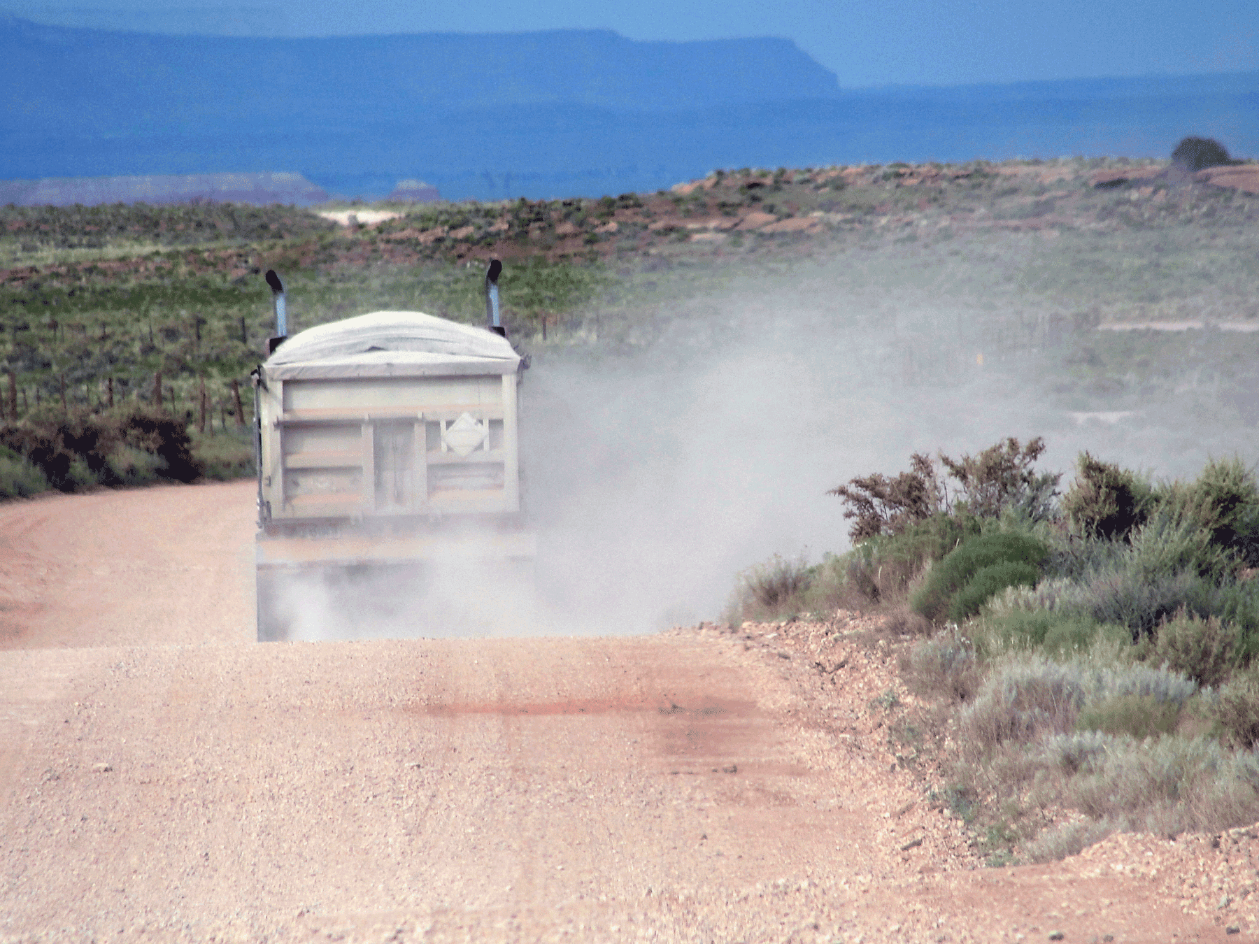
Hauling of uranium ore from Pinenut Mine. July 2015. Photo credit: Jo Ellen Hinck , USGS .
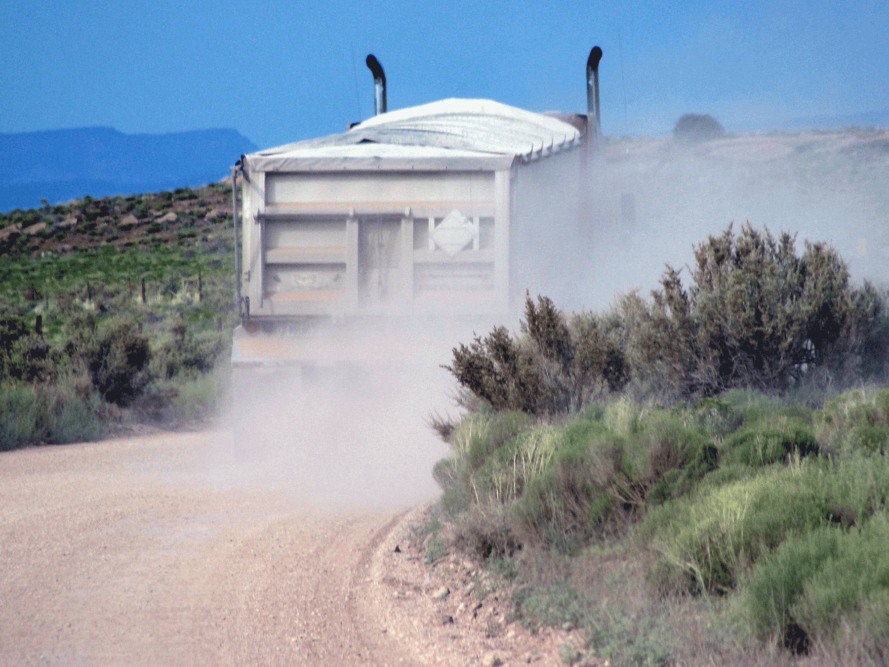
Hauling of uranium ore from Pinenut Mine. July 2015. Photo credit: Jo Ellen Hinck , USGS .
Small mammal burrow along the haul road to Pinenut and Arizona 1 mines. July 2015. Photo credit: Jo Ellen Hinck , USGS .
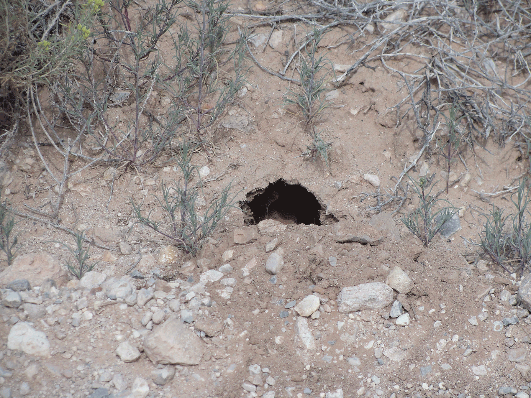
Small mammal burrow along the haul road to Pinenut and Arizona 1 mines. July 2015. Photo credit: Jo Ellen Hinck , USGS .
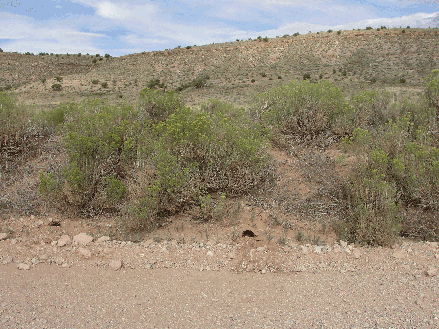
Haul road to Pinenut and Arizona 1 mines. July 2015. Photo credit: Jo Ellen Hinck , USGS .