Uranium and other chemical constituents associated with breccia pipe deposits occur naturally in soil, sediment, groundwater, and surface water, and from the weathering and leaching of ore deposits. Mining of breccia pipes has the potential to enhance release of chemical constituents (such as uranium and associated trace elements) into the environment, which can then expose soil, water and biological resources to mining-related contaminants.
Determining the relative contribution of radiochemical and chemical constituents in regional and local groundwater resources from mining activities is problematic and challenging without an understanding of background concentrations. The potential for increased exposure resulting from mining activities has not been well characterized in the Grand Canyon region because regional/background concentrations of uranium and other trace elements in groundwater are largely unknown and there is a general lack of understanding regarding the local and regional groundwater flow systems.
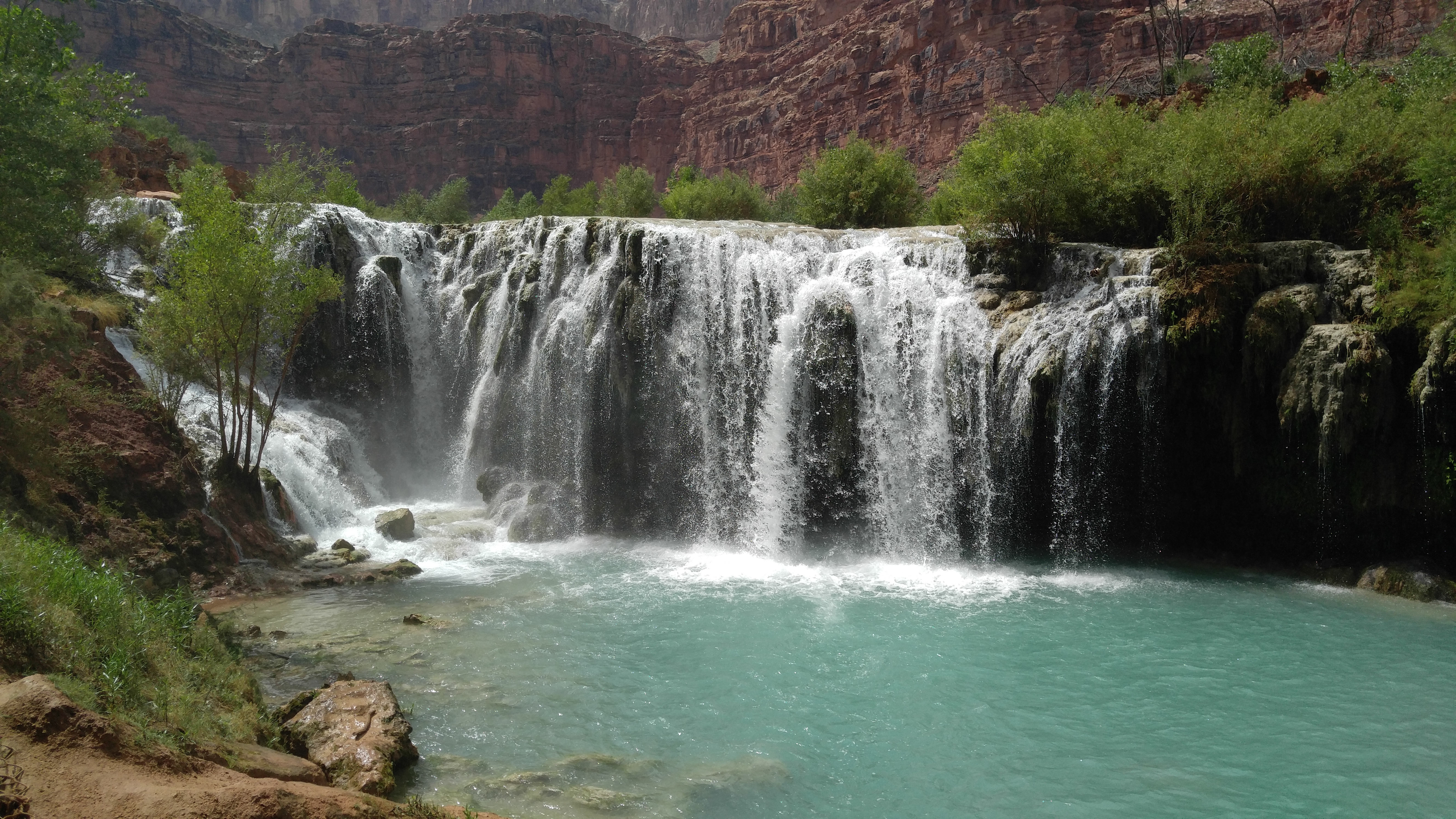
Water movement through breccia pipes and associated ring fractures during natural pre-mining conditions and once the pipe is opened for mining is not well understood.
Questions this study could help answer
Objective
Determine how mining-related chemical constituents move through the environment to help identify potential impacts to groundwater resources.
An investigation of the concentration of uranium in groundwater in the Grand Canyon region (Tillman et al., 2021) found that, of the 206 sites sampled, 195 (95%) had uranium concentrations less than the U.S. Environmental Protection Agency (USEPA) Maximum Contaminant Level (MCL) for drinking water of 30 µg/L. Of the 11 spring sites with uranium concentrations greater than the MCL, 3 were distant from (> 40 miles) or discharged at a higher altitude (>130 ft) than the closest mining locations. The remaining 8 spring sites included 1 near the former Pigeon Mine that was shown in a previous study (Beisner et al., 2017) to likely not be affected by mining activities, and 7 spring sites near the former Orphan Mine in Grand Canyon National Park. The possible connection between Orphan Mine and elevated uranium in nearby springs is currently being investigated by USGS.
Ongoing
Task 5a: Compile/evaluate existing and newly collected monitoring data from various agencies/sources Task 5b: Collect/analyze water and sediment samples from streams and springs Task 8a: Continue evaluation/analysis of Uranium Activity Ratio analysis Task 9: Drill and develop groundwater monitoring wells
Beisner, K.R., Solder, J.E., Tillman, F.D., Anderson, J.R., Antweiler, R.C., 2020, Geochemical characterization of groundwater evolution south of Grand Canyon, Arizona (USA), Hydrogeology Journal, https://doi.org/10.1007/s10040-020-02192-0
Beisner, K.R., Tillman, F.D., Anderson, J.R., Antweiler, R.C., and Bills, D.J., 2017, Geochemical characterization of groundwater discharging from springs north of the Grand Canyon, Arizona, 2009–2016: U.S. Geological Survey Scientific Investigations Report 2017-5068, 58 p., https://doi.org/10.3133/sir20175068.
Tillman, F.D, Beisner, K.R., Anderson, J.R., and Unema, J.A., 2021, An assessment of uranium in groundwater in the Grand Canyon region: Scientific Reports, v. 11:22157, https://doi.org/10.1038/s41598-021-01621-8.
Kimberly Beisner
Hydrologist
Arizona and New Mexico Water Science Centers
505.830.7945
[email protected]
Fred Tillman
Hydrologist
Arizona Water Science Center
520.670.3312
[email protected]
 |
Bureau of Land Management (BLM) |