Science for Decision Making on Uranium Mining in Arizona

Increasing Understanding of Groundwater Flow in the Grand Canyon Region

Regional Studies

Owing to the remoteness and vastness of the Grand Canyon area and the complexity of the subsurface system there, several basic aspects of the groundwater hydrologic system remain unknown or uncertain including locations of recharge, direction and timing of flow paths, and locations of discharge. An improved understanding of the groundwater-flow regime is necessary to predict timing and location of potential subsurface transport from source areas (natural or mined ore bodies) to discharge areas (springs, Colorado River and tributaries). Conceptual models of groundwater flow synthesize what is known and hypothesized about the groundwater-flow regime into a framework that contextualizes past and present observations of the hydrologic system. Conceptual models also identify the unknown properties or conditions that contribute to the greatest uncertainties in understanding regional groundwater flow. In this way, conceptual models are used to guide the collection of additional critical data that would be required to develop a numerical groundwater-flow model capable of simulating potential effects of mining within a reasonable limit of uncertainty.

Questions this study could help answer

  • What do we understand about areas of groundwater recharge and discharge in the region?
  • What do we understand about the connection between perched and regional groundwater in the region?
  • How does geologic structure affect the occurrence and movement of groundwater?
  • Where would new groundwater monitoring wells, spring samples, or geophysical surveys provide the most useful information for improving understanding of groundwater flow in the area?

Findings

Conceptual models of groundwater flow in the Grand Canyon region were developed. Highlights from this work include:1

  • There are likely five individual groundwater-flow systems draining to the Grand Canyon: Kaibab, Uinkaret-Kanab, Marble-Shinumo, Cataract, and Blue Spring. If the proposed system boundaries are accurate, water or contaminant originating in one system will not discharge to a spring in a neighboring system.
  • The most important hydrogeologic characteristics include system boundaries imposed by major tectonic structures, and the degree to which karstification influences the magnitude and direction of flow in each system. System boundaries defined by major tectonic structure are more certain than those defined by hydraulic conditions such as groundwater divides.
  • Parts of each groundwater system exhibit relative structural uplift or downdropping of the hydrostratigraphic units of the regional aquifer, with some uplifted sections dipping inward toward the Grand Canyon and others outward.
  • Important hydrologic dynamics include locations and rates of potential groundwater recharge2, vertical pathways to the regional aquifer, and the locations, magnitude, geochemical signature, and hydrostratigraphic setting of groundwater discharge from springs.
  • Unknown properties or conditions that represent the greatest uncertainties in our current understanding of the regional groundwater-flow system are identified for additional consideration.

Gravity surveys for estimating possible width of enhanced porosity zones across structures on the Coconino Plateau were completed. Highlights from this work include:3,4

  • No gravity lows that could correspond to enhanced porosity zones were detected across three of the four major features in the area surveyed but such zones could exist at other locations.
  • The transect across the Redlands Ranch Fault Zone was the only one with an observed gravity low that could correspond to an enhanced porosity zone. This transect was approached by several small faults and collapse features. It is possible that the presence or interaction of multiple features or feature types may be important for creating zones of enhanced porosity in the subsurface.
  • Results suggest that groundwater-flow models representing major features as continuous zones of preferential groundwater flow resulting from enhanced porosity may not be correct.


Status

Ongoing

Specific Tasks

Task 10: Update regional groundwater model

Sources

1 Knight, J.E., and Huntoon, P.W., 2022, Conceptual models of groundwater flow in the Grand Canyon region, Arizona: U.S. Geological Survey Scientific Investigation Report 2022–5037, 51 p., https://doi.org/10.3133/sir20225037.

2 Knight, J.E., and Jones, C.J., 2022, Soil-Water-Balance (SWB) model archive used to simulate potential mean annual recharge in the Grand Canyon region, Arizona: U.S. Geological Survey data release, https://doi.org/10.5066/P9FQ7BSY.

3 Wildermuth, L.M., 2022, Gravity surveys for estimating possible width of enhanced porosity zones across structures on the Coconino Plateau, Coconino County, north-central Arizona: U.S. Geological Survey Scientific Investigations Report 2022–5031, https://doi.org/10.3133/sir20225031

4 Wildermuth, L.M., 2021, Data from “Gravity surveys for estimating possible width of enhanced porosity zones across structures on the Coconino Plateau, Coconino County, north-central Arizona”: U.S. Geological Survey data release, https://doi.org/10.5066/P9ZYHEBB

Principal Investigators

Jacob Knight
Hydrologist
Arizona Water Science Center
520.670.3336
jknight@usgs.gov

Fred Tillman
Hydrologist
Arizona Water Science Center
520.670.3312
ftillman@usgs.gov

Libby Wildermuth
Hydrologist
U.S. Geological Survey, Arizona Water Science Center
520.670.3335
lwildermuth@usgs.gov
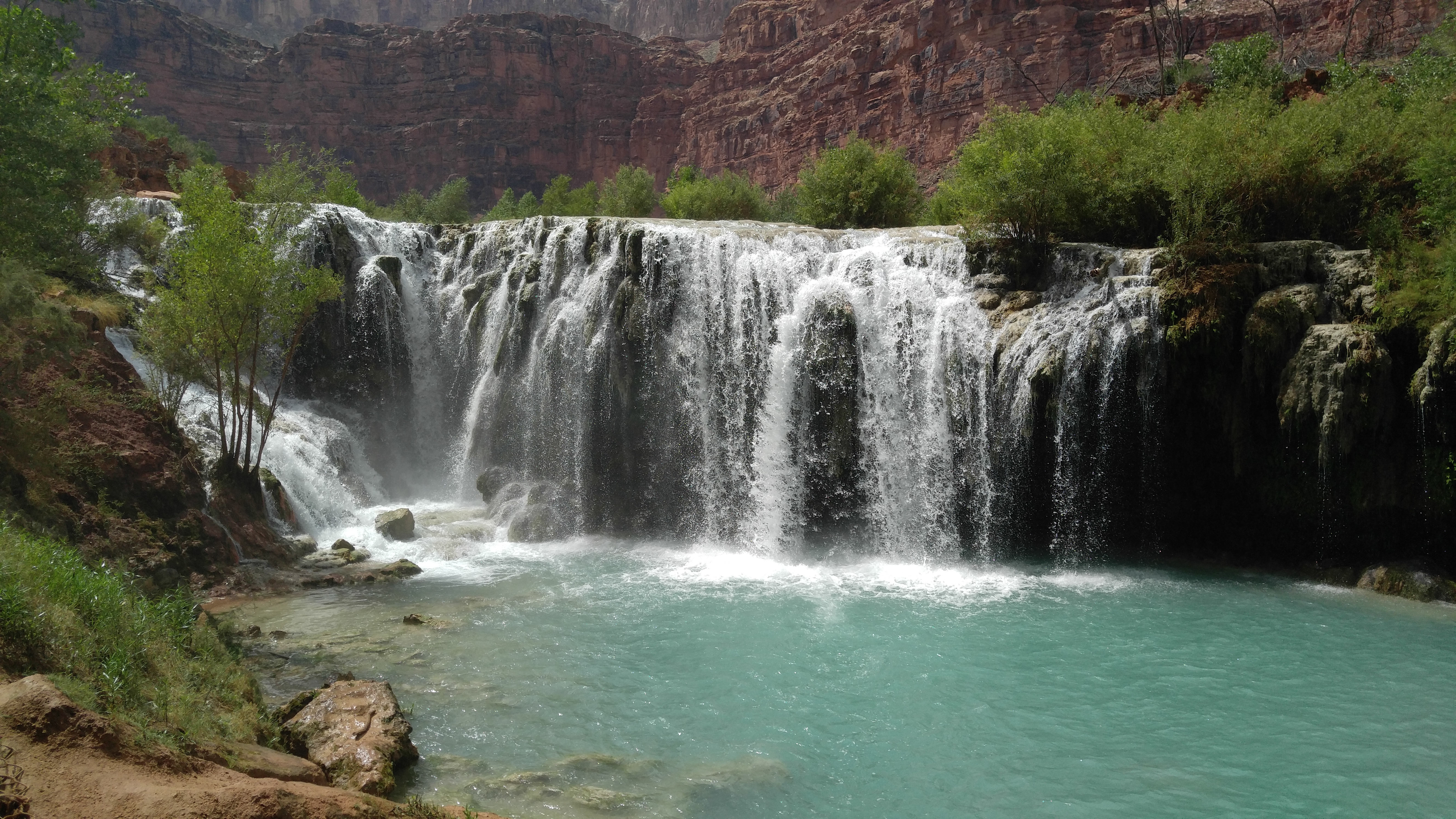
Photo Gallery

Small falls along Havasu Creek 2

Regional Studies Gallery