The Grand Canyon in northern Arizona is a United Nations World Heritage Site and an international tourist destination. The Grand Canyon region is a home or sacred place of origin for many Native Americans and its cultural significance goes back thousands of years.
The Colorado River, which carved the Grand Canyon, is a primary source of drinking and irrigation water for 35 million people in the United States and Mexico. Most communities in the immediate Grand Canyon area, however, do not have rights or access to water from the river and are dependent upon groundwater to meet all water needs. These groundwater-dependent communities include the Havasupai Nation, the Hualapai Nation, the towns of Tusayan, Williams, and Jacobs Lake, and even Grand Canyon National Park, which is visited by over 6 million people each year. Additionally, important ecosystems in the area are sustained by groundwater discharge at spring sites.
The Grand Canyon region also hosts some of the highest-grade uranium ore in the United States. In 2012, then-U.S. Secretary of the Interior Ken Salazar signed a Record of Decision (ROD) to withdraw over 1 million acres in three segregation areas of Federal land in the Grand Canyon region from new uranium mining activities for the next 20 years, subject to valid existing rights. A key factor in the decision for the withdrawal was the limited amount of scientific data and resulting uncertainty on potential effects of uranium mining activities on cultural, biological, and water resources in the area. Since 2014, the USGS has planned and conducted scientific investigations to address the uncertainties of potential uranium-mining effects noted in the ROD. USGS collects groundwater samples in the Grand Canyon region to understand the current state of groundwater chemistry in the region, to monitor for changes in groundwater chemistry that may be the result of mining activities, and to identify "hot spots" with elevated concentrations and investigate the causes.
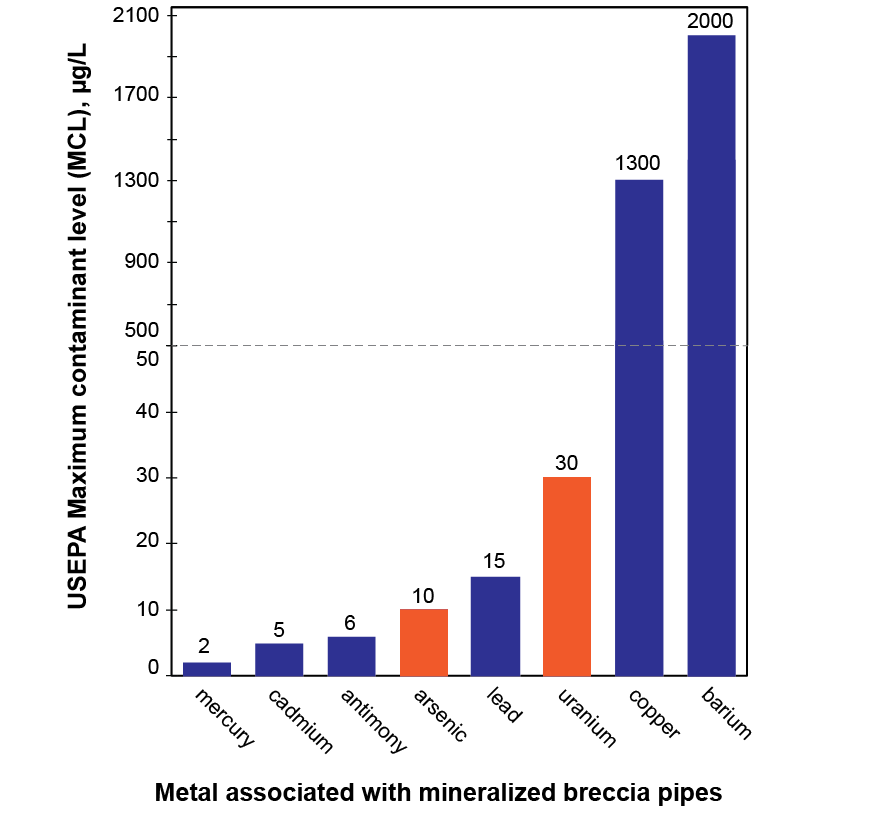
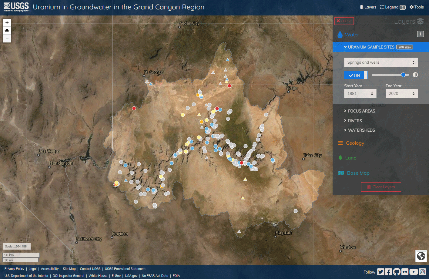
The purpose of this interactive map is to present results for uranium and arsenic concentrations in groundwater samples in the Grand Canyon region. The map allows users to navigate to different parts of the Grand Canyon region and see for themselves the uranium concentrations in wells and springs that have been sampled in the area. For this map, the Grand Canyon study area is defined by surface water drainages between Lee's Ferry to the east and Lake Mead to the west. Although uranium in groundwater may be of particular concern to residents and visitors of the area, other metals that are commonly associated with mineralized breccia pipes, such as arsenic, may be a greater risk to human health (figure 1).
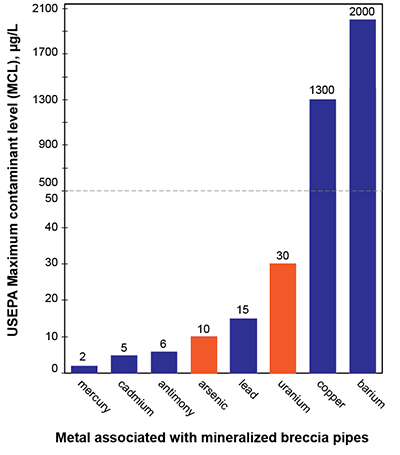
Figure 1. Maximum contaminant level for metals commonly associated with mineralized breccia pipes in the Grand Canyon region.
Suggested Reading
Arsenic in groundwater in the Grand Canyon region and an evaluation of potential pathways for arsenic contamination of groundwater from breccia pipe uranium mining
Fred Tillman, Kimberly Beisner, and Casey Jones
PLOS Water, volume 2, issue6, e0000109
Historical and 2009 water chemistry of wells, perennial and intermittent streams, and springs in Northern Arizona
Don Bills, Fred Tillman, David Anning, Ron Antweiler, R.C., and Thomas Kraemer, T.K.
U.S. Geological Survey Scientific Investigations Report 2010–5025
Geochemistry and hydrology of perched groundwater springs: assessing elevated uranium concentrations at Pigeon Spring relative to nearby Pigeon Mine, Arizona (USA)
Kimberly Beisner, Nick Paretti, Fred Tillman, David Naftz, Don Bills, Katie Walton-Day, and Tonya Gallegos
Hydrogeology Journal, volume 25, pages 539–556
Geochemical characterization of groundwater discharging from springs north of the Grand Canyon, Arizona, 2009–2016
Kimberly Beisner, Fred Tillman, Jessica Anderson, Ron Antweiler, and Don Bills
U.S. Geological Survey Scientific Investigations Report 2017–5068
An assessment of uranium in groundwater in the Grand Canyon region
Fred Tillman, Kimberly Beisner, Jessica Anderson, and Joel Unema
Scientific Reports, volume 11, 22157
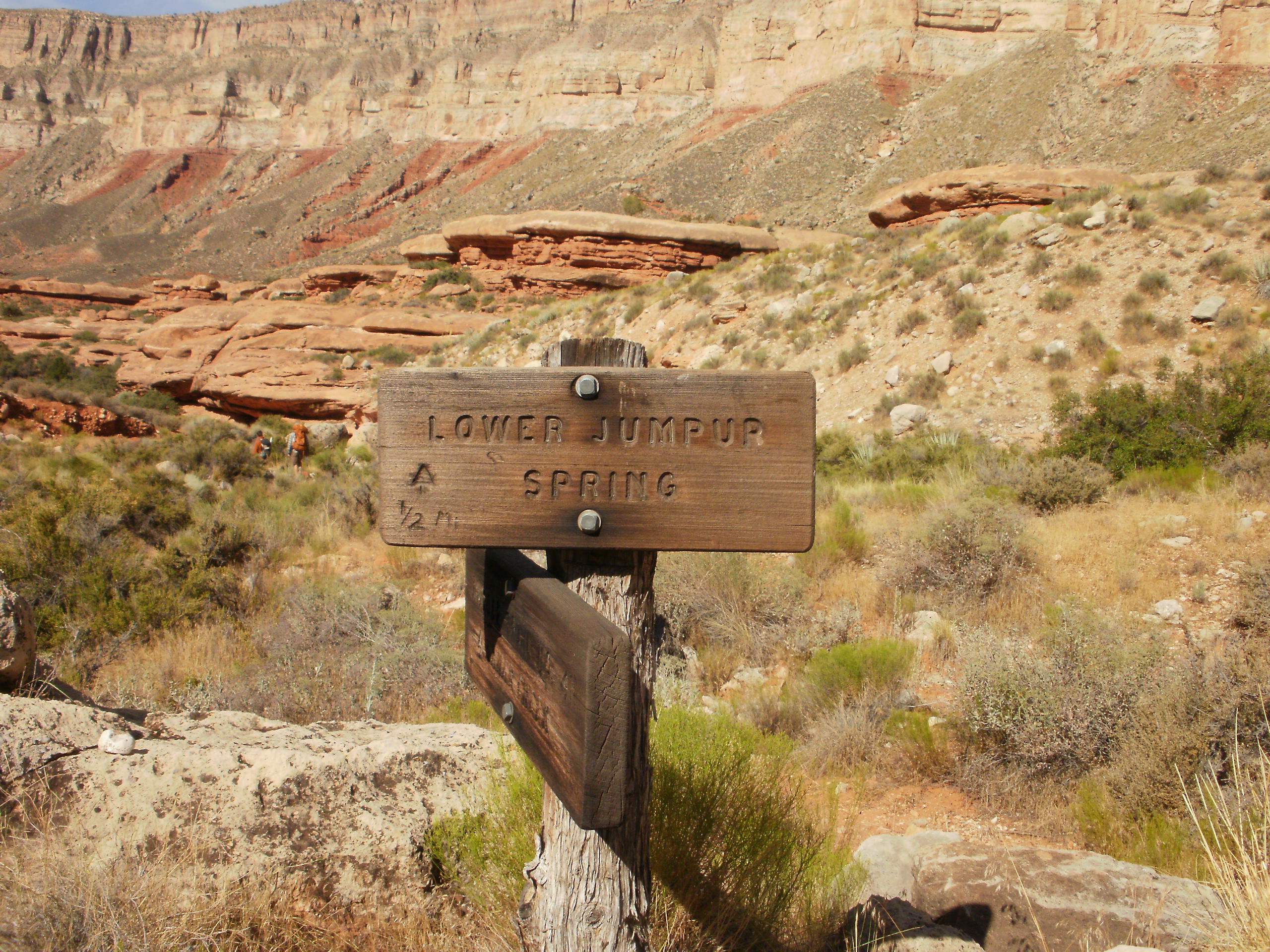
Trail to Lower Jumpup Spring
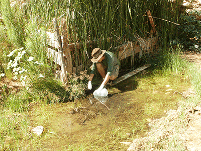
Sampling water from Willow spring in Hack Canyon, north of Grand Canyon. Photo credit: Fred Tillman, USGS.
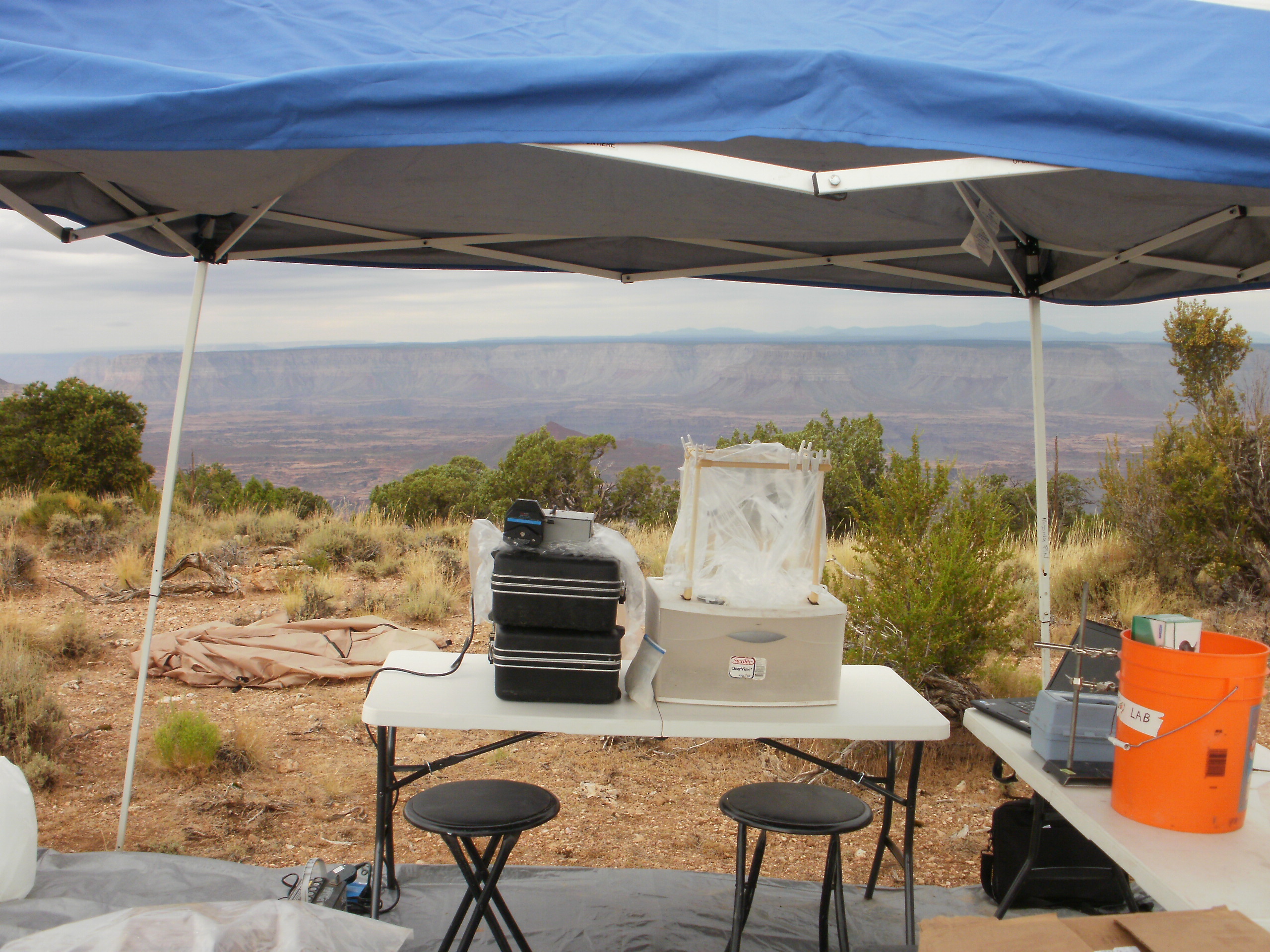
Processing water-quality samples from springs at Sowats Point, north rim of Grand Canyon. Photo credit: Fred Tillman, USGS.