
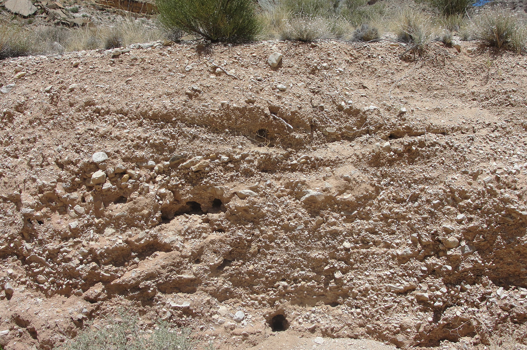
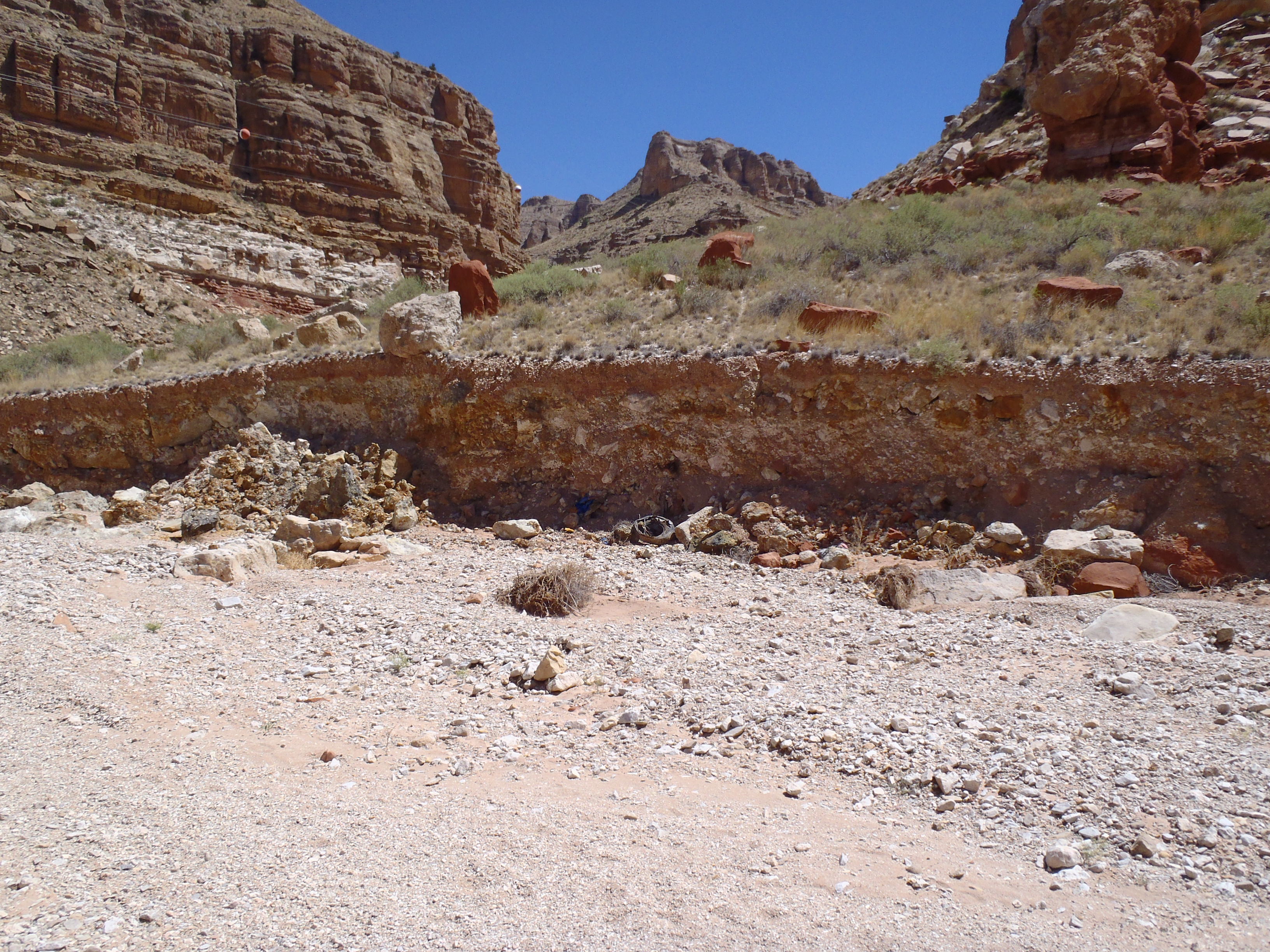
Burrow in eroded terrace exposing waste rock from Hack 1 Mine. June 2012. Photo credit: Jo Ellen Hinck , USGS .
Eroded terrace of waste rock at Hack 1 Mine. June 2012. Photo credit: Jo Ellen Hinck , USGS .
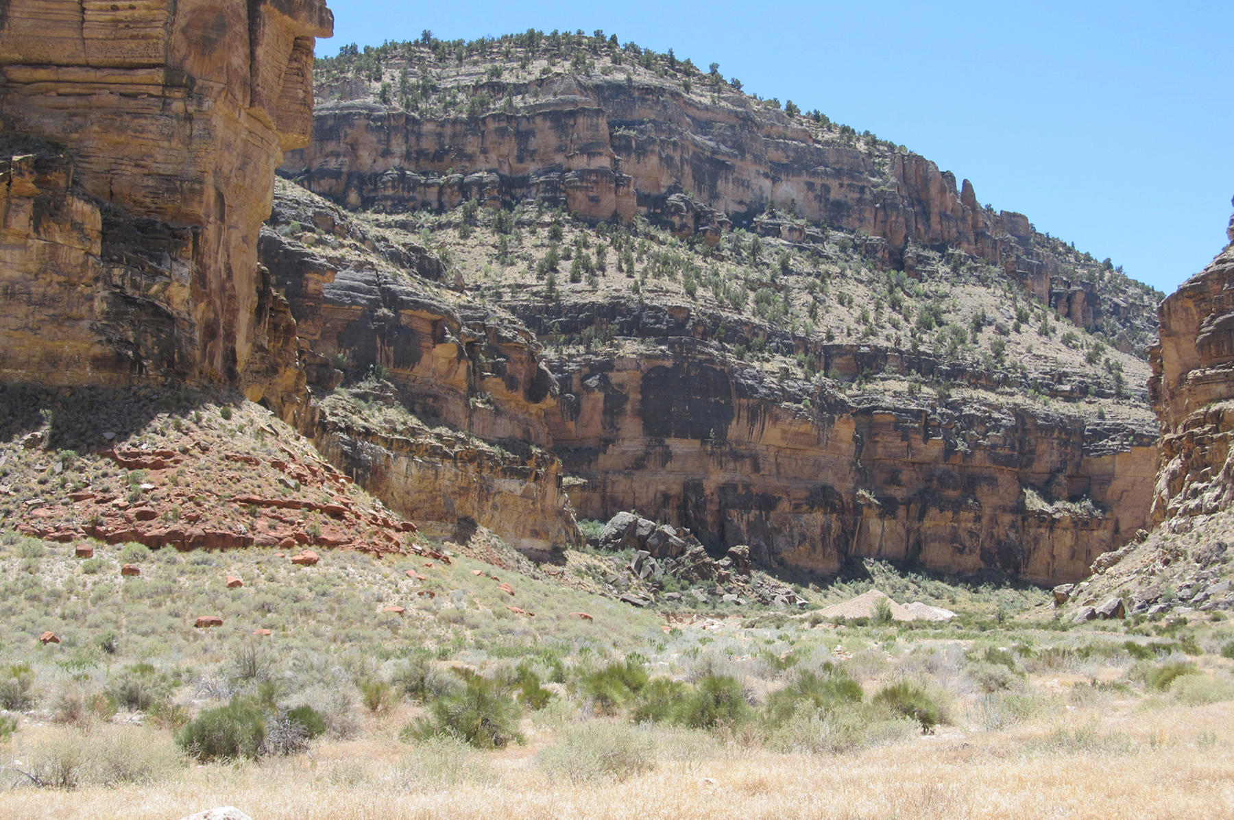
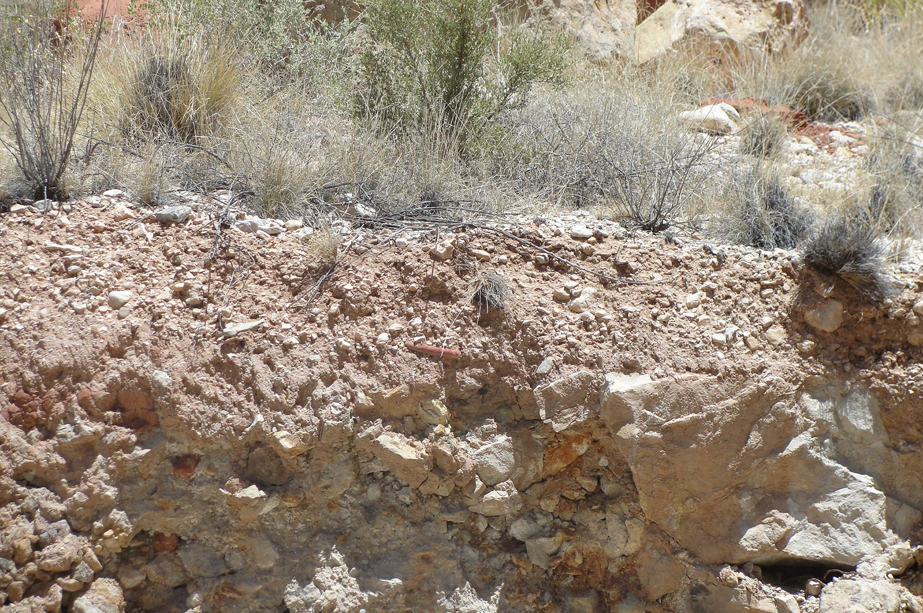
Hack Canyon Mine Complex area. June 2012. Photo credit: Jo Ellen Hinck , USGS .
Eroded terrace of waste rock with animal burrows/nest at Hack 1 Mine. June 2012. Photo credit: Jo Ellen Hinck , USGS .
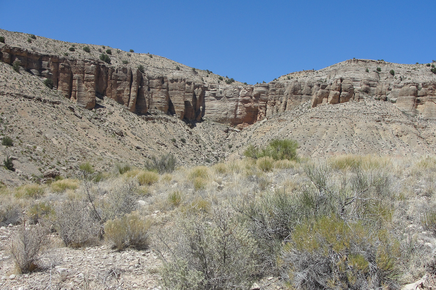
Hack Canyon Mine Complex area. June 2012. Photo credit: Jo Ellen Hinck , USGS .
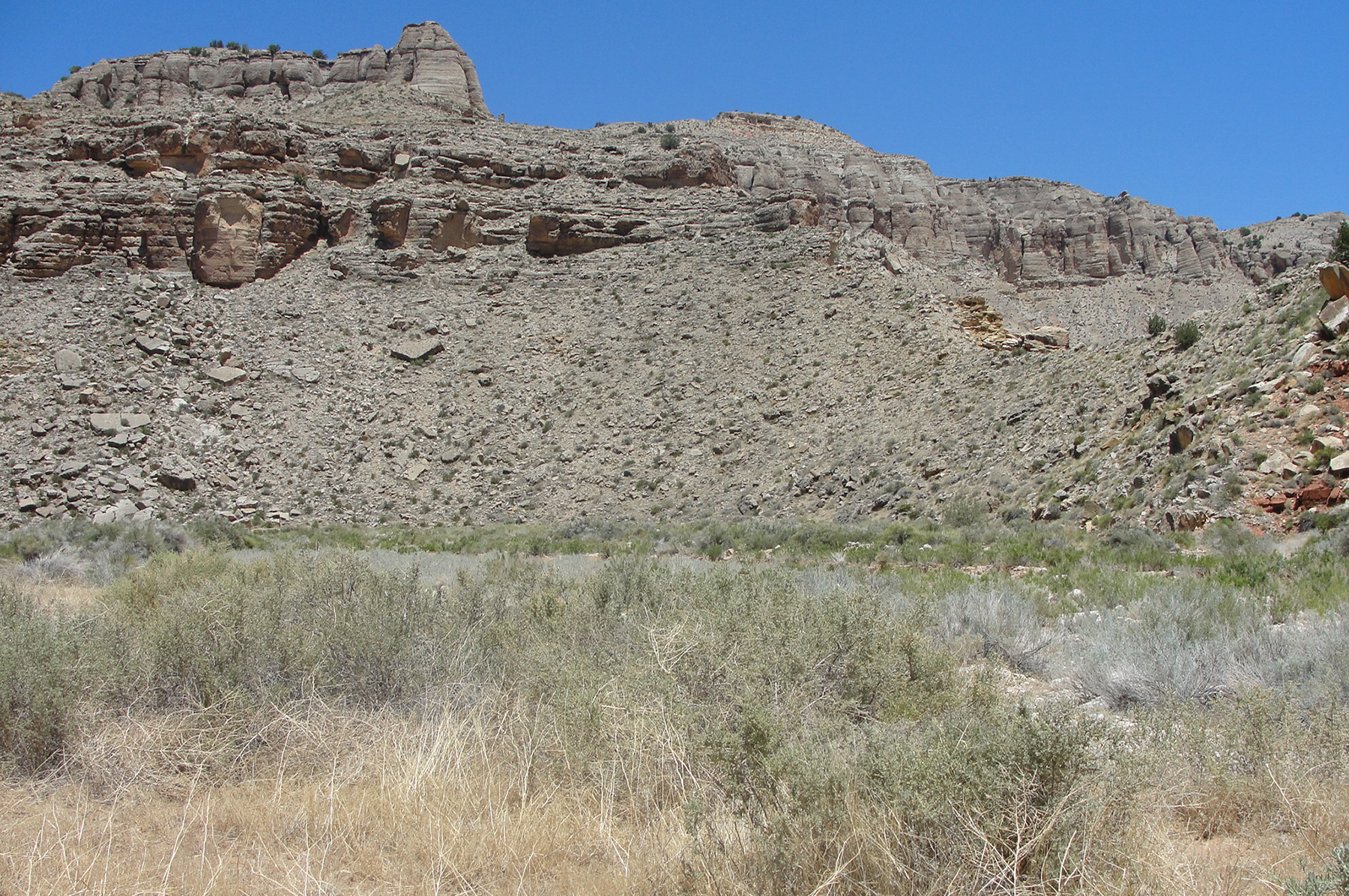
Hack Canyon Mine Complex area. June 2012. Photo credit: Jo Ellen Hinck , USGS .
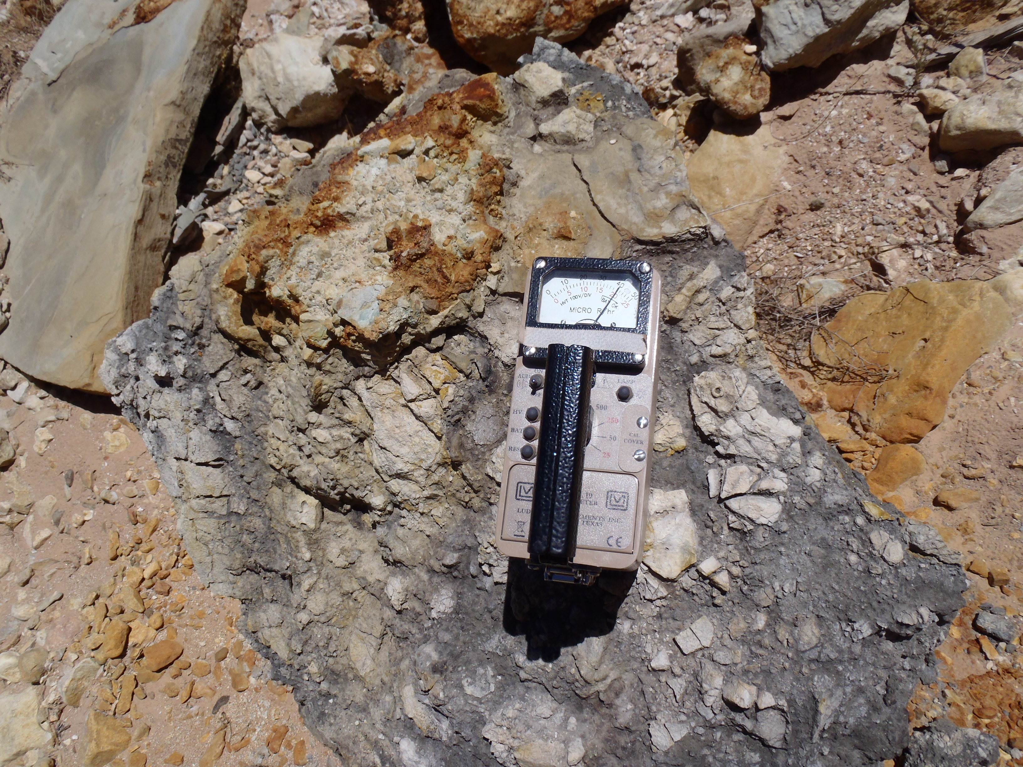
Boulder eroded out of Hack Mine waste pile registering radiation reading of 400 microRoentgens per hour using Ludlum model 19 micro R (Roentgen) meter. . June 2014. Photo credit: K. Walton-Day , U.S. Geological Survey .
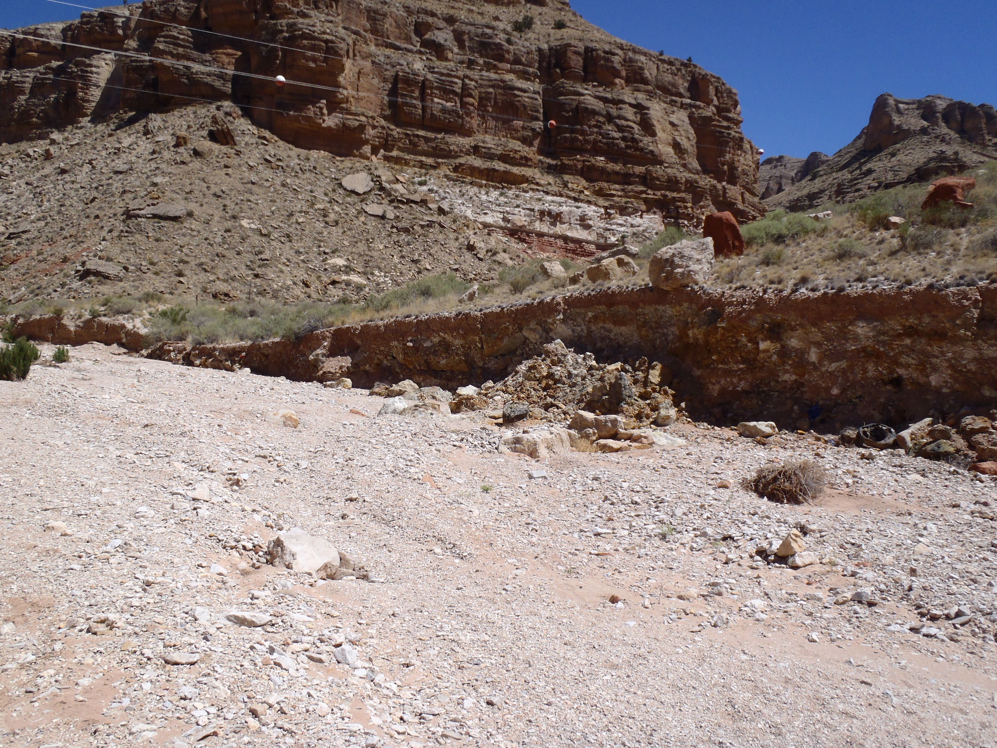
View of Hack mine waste pile eroding into the intermittent stream channel looking upstream. Slumping block evident near center of photograph. . June 2014. Photo credit: K. Walton-Day , U.S. Geological Survey .
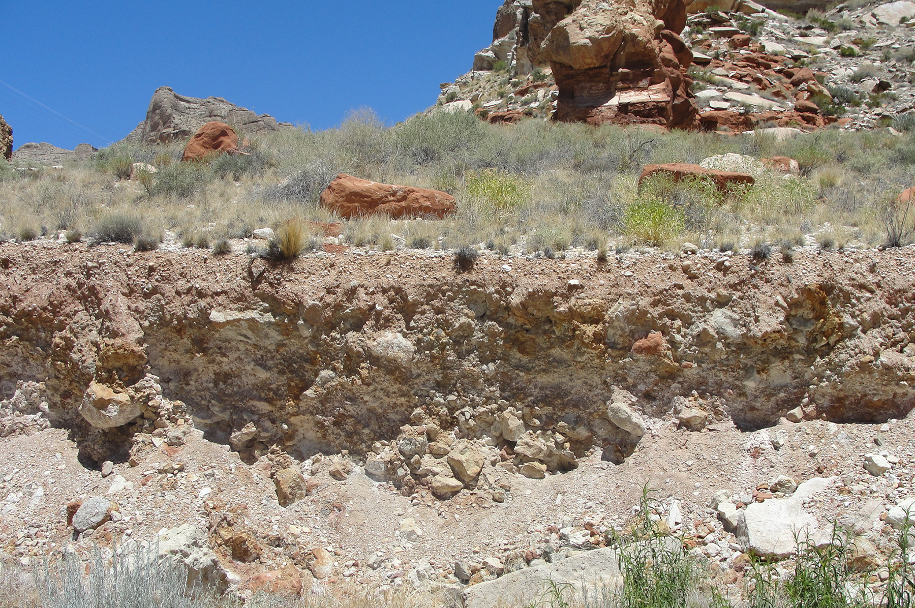
Hack Mine Waste pile profile where cut by erosion from intermittent stream at the base of the pile. . June 2014. Photo credit: K. Walton-Day , U.S. Geological Survey .
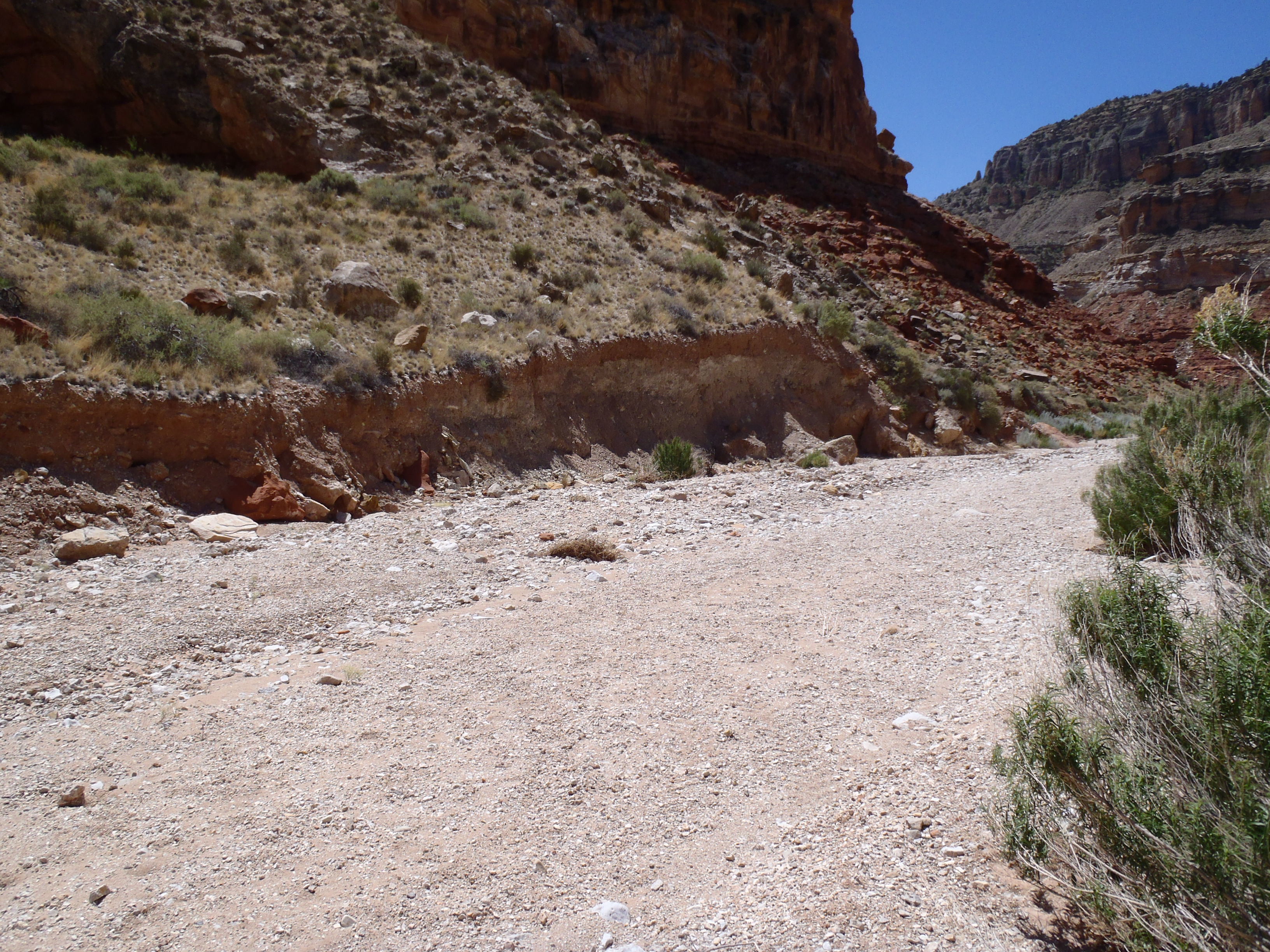
Hack Canyon dry creek bed showing mine waste pile that has been cut into when water flows in the channel and where mine waste is eroding into the channel. . June 2014. Photo credit: K. Walton-Day , U.S. Geological Survey .