Coastal Carolinas Focus Area Study
Methods
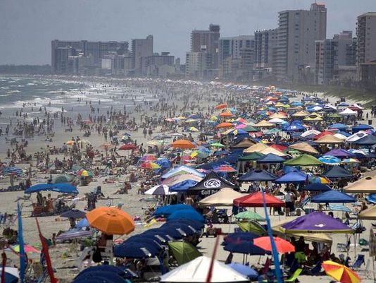
Water Use
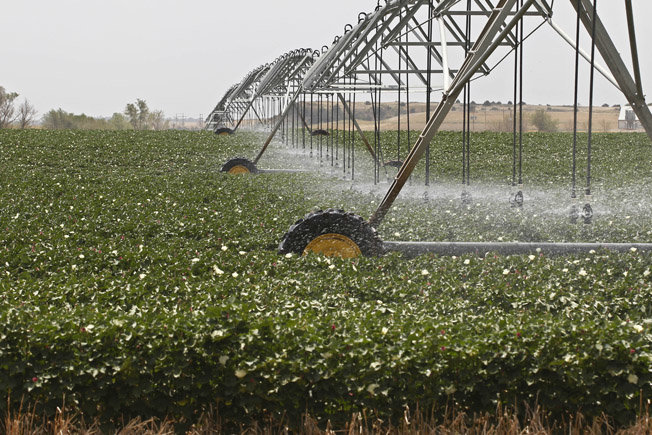
Water-use data by category will be compiled from local, regional, and state-scale data sources. Actual evapotranspiration will be estimated using the Simplified Surface Energy Balance method using Landsat satellite images in conjunction with verification of field crop types and irrigation methods.
Landscape and Hydrologic Change
Predictions of population, land-use, water-use, and climate-change will be generated and applied to the study area to drive various scenarios that will be simulated with the groundwater, surface-water, and ecological-response models.
Surface Water
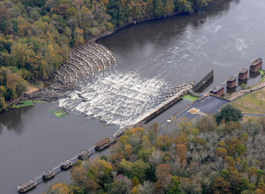
Surface-water models of the Yadkin/Pee Dee/Waccamaw River and Cape Fear River basins will be developed to simulate watershed response to various scenarios of extreme climatic events (droughts, hurricanes, etc.), climate and land-use changes and water-use changes. These models will be used to evaluate changes in water-balance, flow regimes, flood peaks and volumes, and groundwater recharge.
Ecological Response
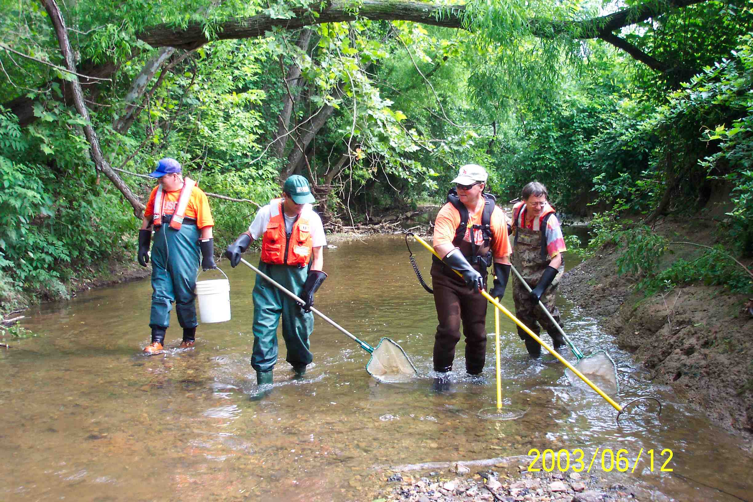
Empirical ecological response models relating fish and macroinvertebrate metrics to streamflow metrics and land use will be developed for the Yadkin/PeeDee/Waccamaw and Cape Fear River basins using daily flows obtained from the surface-waters models.
Groundwater
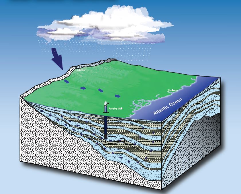
The groundwater models will be used to simulate results of historic and projected future stresses on the groundwater system in the coastal areas.