Coastal Carolinas Focus Area Study
Methods
Surface-Water Modeling
Study Component Leads
Ana Maria Garcia
USGS South Atlantic Water Science Center
Cape Fear River and Yadkin/PeeDee/Waccamaw River Basin Models
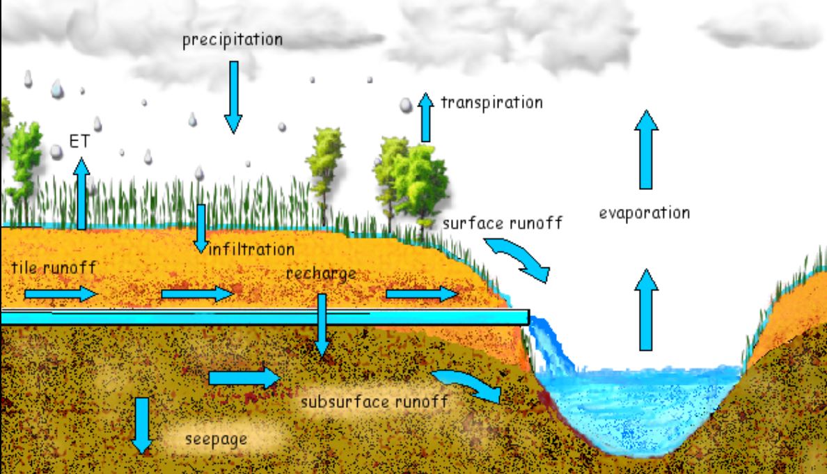
Surface-water models of the Cape Fear River and Yadkin/PeeDee/Waccamaw River will be developed using the Soil and Water Assessment Tool (SWAT). The SWAT model is a physically-based watershed model with the capability of incorporating water-use data. The model will operate on a daily time step, which is necessary to support the data input requirements of the ecological response models (discussed herein).
The model will be calibrated to the period 2000-2014 and will subsequently be used to simulate streamflows for the period of approximately 1983-2065 while accounting for water-use and climate-change scenarios at ungaged ecological sampling sites and key locations important for water-supply (for example, Cape Fear River at Lock 1) in the study area. The calibrated SWAT models of the Yadkin/PeeDee/Waccamaw River and Cape Fear River basins will be used to simulate the following scenarios:
- Baseline, most current land-use (2011) and recent (2010) reported and permitted water-use and discharge conditions scenario
- Forecasted population growth scenario for water-use
- Projected population and land-use change conditions will be simulated by the surface-water model using forecasts supplied by the Southeast Climate Science Center, NC State University, state agencies and local municipalities.
- Climate change scenario
- Projected streamflow for future climate conditions will be simulated by the surface-water model using two or three plausible forecasted regional precipitation and temperature scenarios (CMIP5), supplied by the Southeast Climate Science Center and (or) published literature.