

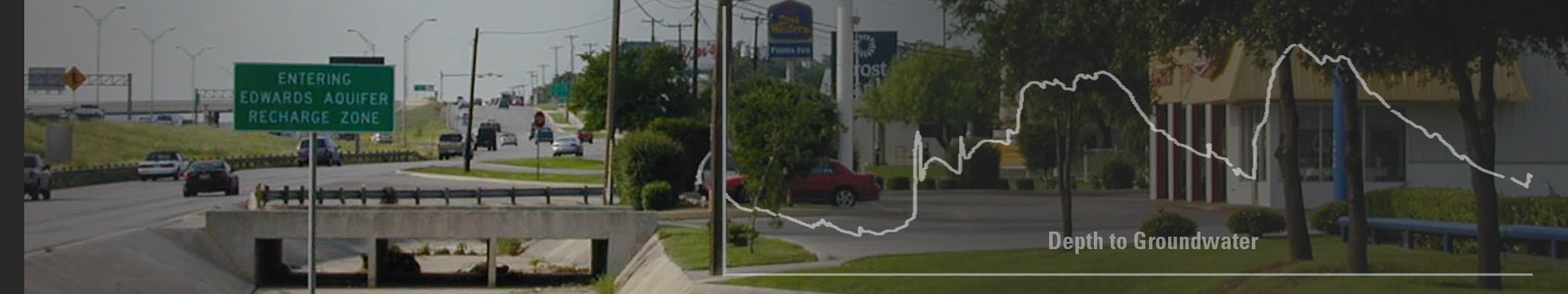
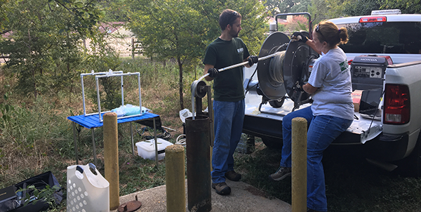
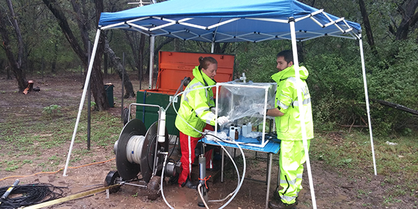
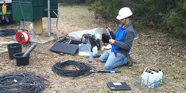
The Edwards Aquifer provides vital water resources for economic development, public and domestic water supplies, and ecosystem services for central Texas and the greater San Antonio area. City planners and water managers need high-quality water-resource information to make informed decisions for water availability, water quality, aquifer protection, and infrastructure growth. The U.S. Geological Survey (USGS) Urban Hydrology Network (UHN) encompasses monitoring of surface water and groundwater at appropriate spatial and temporal scales to provide insight to complex hydrologic challenges in a region impacted by urbanization, population growth, and climate change.
The UHN provides high resolution, real-time, continuous monitoring data, augmented with periodic water-quality sampling, and deploying cutting-edge technologies to provide new information and tools for the public and stakeholders including:
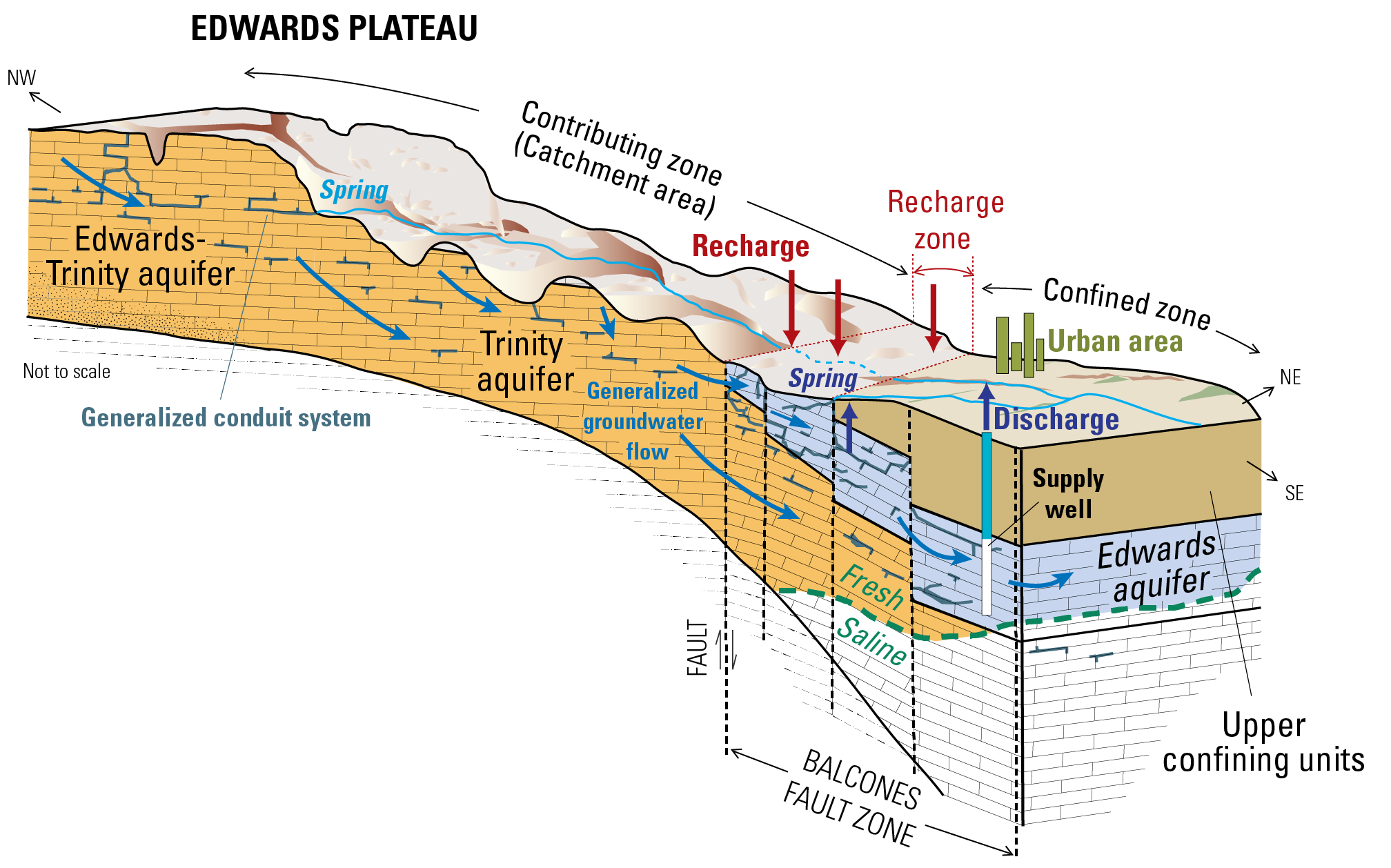
Click on image for larger view. From Musgrove and others, 2011.
Edwards Aquifer Urban Hydrology Interactive Map
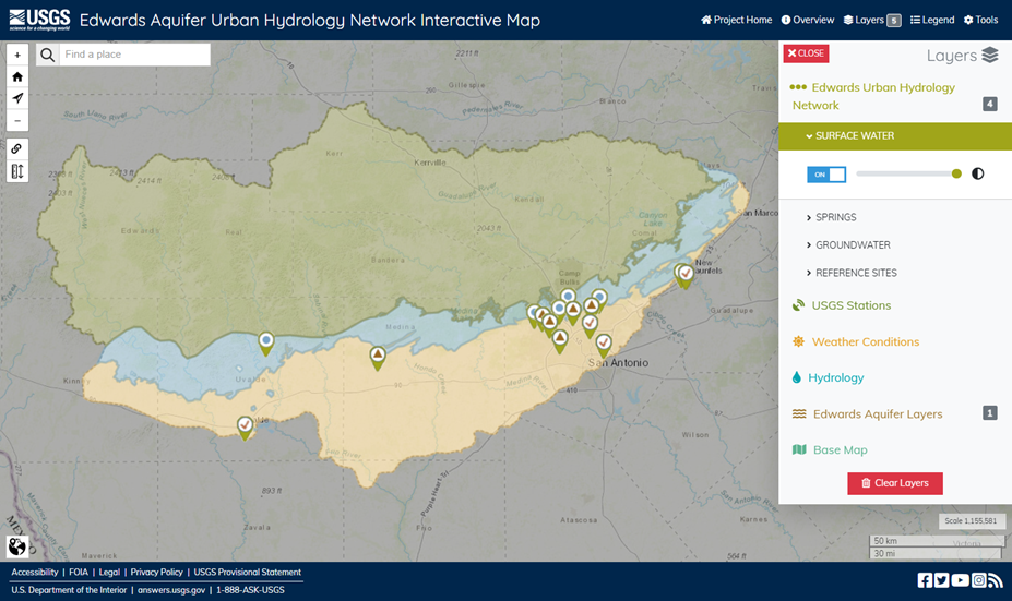
Use the interactive mapper tool to find USGS hydrologic monitoring data from sites throughout the study area.
Urban Hydrology Network (UHN) Map Resources
The interactive mapping tool provides quick links to data for Surface Water, Spring, and Groundwater UHN sites.
UHN Reference Sites are shown with links to their organization's current data.
Additional Map Layers
Continuous Monitoring and Water-Quality Interactive Graphics
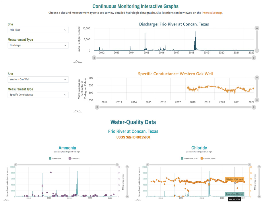
Compare continuous monitoring and water-quality data from UHN and other selected (reference) sites.
Urbanization Time-Lapse Imagery
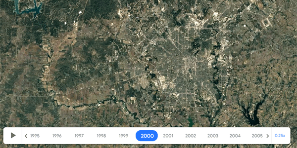
Annual time-lapse imagery beginning in 1984 is useful for visualizing the timing and extent of urbanization in different parts of the city and the surrounding area. Time lapse was created using Google Earth Timelapse.
Virtual Cave Tours
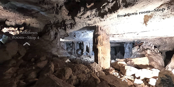
Online virtual tour of Bear Cave and Cub Cave, two karst recharge features in San Antonio, Tex.
Groundwater Age Tracers, Residence Time, and Aquifer Vulnerability for the Edwards Aquifer
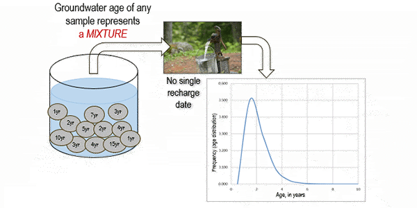
Understanding groundwater contamination risks is crucial for best resource management practices. Karst groundwater supplies, such as the Edwards aquifer of central Texas, are formed by the dissolution of soluble limestone rocks, and are an invaluable part of the world’s drinking water. Yet karst processes, such as rapid recharge and conduit flow, make these aquifers highly complex and vulnerable to contamination by human activities. Estimates of groundwater age provide direct insight into the vulnerability of groundwater to contamination. This study uses groundwater ages in combination with other geochemical tracers for the Edwards aquifer to assess how vulnerable the aquifer likely is to contamination from human activities on the land surface.
Pharmaceuticals in the San Antonio Segment of the Edwards Aquifer
The occurrence of pharmaceutical compounds in surface water that recharges the Edwards aquifer can potentially affect groundwater quality. This study evaluated the occurrence and possible sources of pharmaceuticals in south-central Texas and the Edwards aquifer during 2018-2020. An assortment of pharmaceutical compounds was detected at low concentrations at some surface-water sites, whereas detections were less frequent in groundwater and spring discharge.
Changes in Nitrate Concentrations and Sources in Edwards Aquifer Groundwater
The Edwards aquifer region is undergoing rapid growth, particularly in urban areas such as San Antonio and Austin. Such growth can increase anthropogenic sources of nitrate to groundwater. Nitrate is an important nutrient, but elevated concentrations may affect aquifer ecosystems. Additionally, consumption of drinking water with elevated nitrate concentrations may have adverse health effects.
Timescales and Drivers of Water-Quality Change in the Edwards Aquifer
Groundwater quality changes over time. Long term monitoring of those changes helps groundwater resource managers understand and protect the aquifer. This study combined high-frequency monitoring and discrete sample collection of a range of geochemical constituents which enhances our ability to understand the timescales of groundwater quality change.
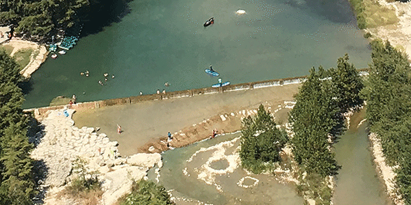
Continuous Monitoring Tracks Local Surface-Water and Groundwater Connections
USGS "super sites" examine the dynamic connection between urban stormwater runoff and recharge to shallow groundwater of the Edwards aquifer. These sites monitor both streamflow and groundwater levels and are sites of water-quality sample collection during periods of groundwater recharge.
Urban and Rural Nitrate Sources to the Edwards Aquifer
Groundwater nitrate data from continuous water-quality monitoring, combined with discrete water-quality samples from surface-water and groundwater, provide insight into nitrate contributions to the aquifer from rural and urban sources.
Opsahl, S. P., Musgrove, M., Pedraza, D. E., Watermolen, S. C., Neafie, R. J., & Clark, A. K. (2023). Edwards Aquifer Urban Hydrology Network [Web application]. U.S. Geological Survey. https://webapps.usgs.gov/edwardsAquiferUH/