

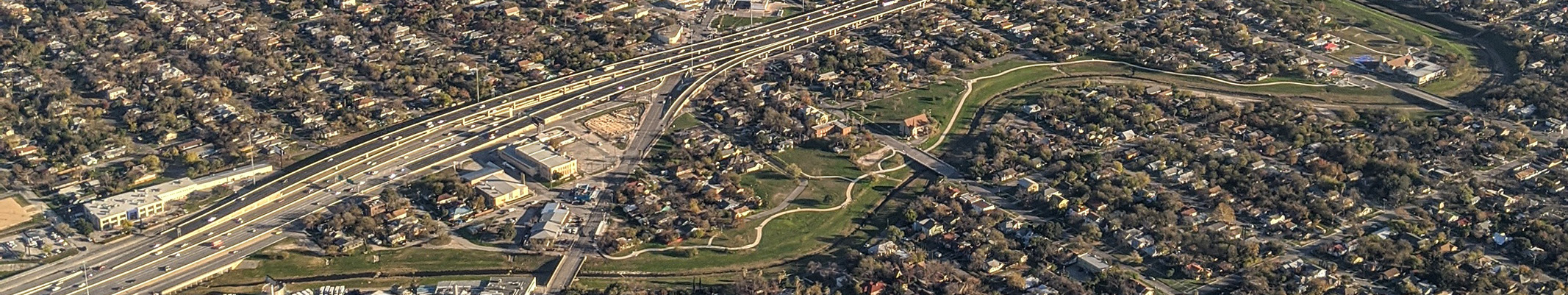
Annual time-lapse imagery beginning in 1984 is useful for visualizing the timing and extent of urbanization in different parts of the city and the surrounding area. Time lapse was created using Google Earth Timelapse.
Urbanization Time Lapse Tool
Any use of trade, firm, or product names is for descriptive purposes only and does not imply endorsement by the U.S. Government.