
The Nueces River begins in Edwards County approximately 110 miles southeast of San Angelo, Texas. The Nueces River is located in South Texas and is the fifth largest river basin in the state, with a drainage area totaling 16,675 square miles. The basin is approximately 230 miles long. The Nueces River discharges into Nueces Bay before the Corpus Christi Bay and finally the Gulf of Mexico.
The Nueces River consists of rolling plains dissected by numerous streams that have cut shallow and relatively narrow valleys and ends in the coastal plains near Corpus Christi Bay. The topography of the coastal terrace near the Corpus Christi Bay is nearly level and is part of the Texas Coastal Bend.
The Nueces River basin has a history of flooding that spans back to 1866. Most of the higher floods that have occurred have resulted from generally heavy rains during the spring and fall.
For more information, refer to the Nueces River Basin Assessment Report
Interactive Basin Map
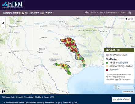
Select the name to open detail pages for each location. For USGS streamgage locations, select the USGS streamgage number to open the real-time data page for that streamgage.
| Name | Site type | Streamgage | Drainage Area (mi2) | Recommended Method (Method Descriptions) |
|---|
Based on data published in the Watershed Hydrology Assessment for the Nueces River Basin report.
Site names and drainage areas displayed on the website are based on the Watershed Hydrology Assessment for the Nueces River Basin. For USGS streamgages, these may not exactly match the official USGS names or drainage areas for a given location. In addition, the drainage areas shown in this application are rounded to the nearest whole number. For locations downstream from Canyon Lake dam, drainage area values include only the uncontrolled area downstream from the reservoir.