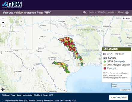
The Neches River begins in Van Zandt County approximately 60 miles southeast of Dallas, Texas. It flows in a southeasterly direction for approximately 416 miles to empty into Sabine Lake, 20 miles southeast of Beaumont, Texas.
The Neches River and its principal tributary, the Angelina River, rise in a region of rolling hills and flow through an area of moderately to extremely hilly relief to the vicinity of Jasper and Woodville, where the rolling terrain abruptly changes to the flat coastal prairie. The main river system has two principal branches above the junction with the Angelina - the Neches River, with a length of about 290 miles, and the Angelina River, with a length of about 205 miles.
Above their confluence the Neches River has a drainage area of 3,819 square miles, and the Angelina River has a drainage area of 3,574 square miles. The drainage area between the confluence of the two rivers and the mouth is approximately 2,736 square miles. The watershed of the Neches River has a total drainage area of 10,129 square miles.
For more information, refer to the Neches River Basin Assessment Report
Interactive Basin Map

Select the name to open detail pages for each location. For USGS streamgage locations, select the USGS streamgage number to open the real-time data page for that streamgage.
| Name | Site type | Streamgage | Drainage Area (mi2) | Recommended Method (Method Descriptions) |
|---|
Based on data published in the Watershed Hydrology Assessment for the Neches River Basin report.
Site names and drainage areas displayed on the website are based on the Watershed Hydrology Assessment for the Neches River Basin. For USGS streamgages, these may not exactly match the official USGS names or drainage areas for a given location. In addition, the drainage areas shown in this application are rounded to the nearest whole number.