The Challenge
Unprecedented flooding in the Souris River Basin in 2011 focused attention on review of the Operating Plan contained in Annex A to the 1989 International Agreement. Public as well as government agencies involved in flood protection, particularly in North Dakota, requested that additional flood protection measures be evaluated, above and beyond what is currently provided under the International Agreement, and that the Operating Plan contained in Annex A of the Agreement also be reviewed.
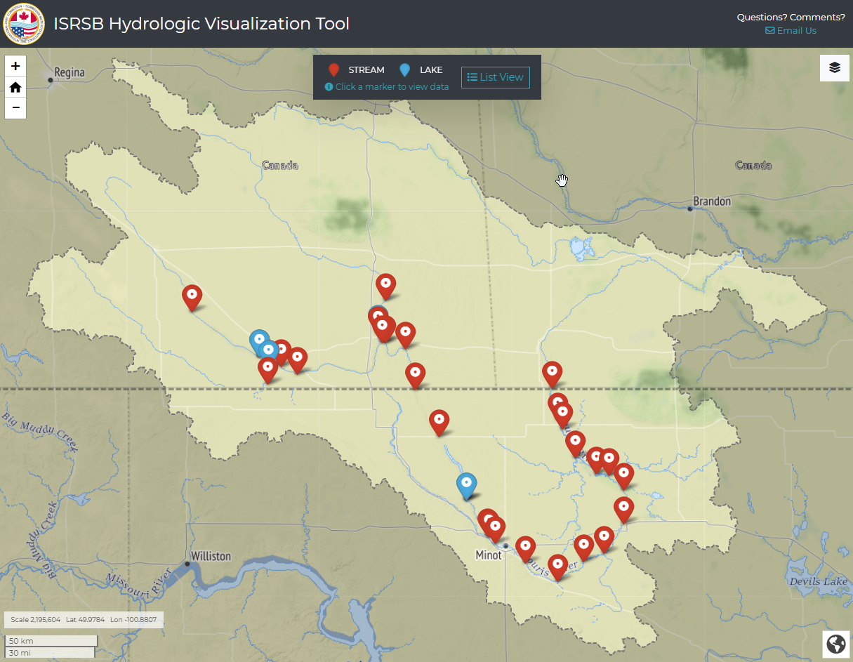
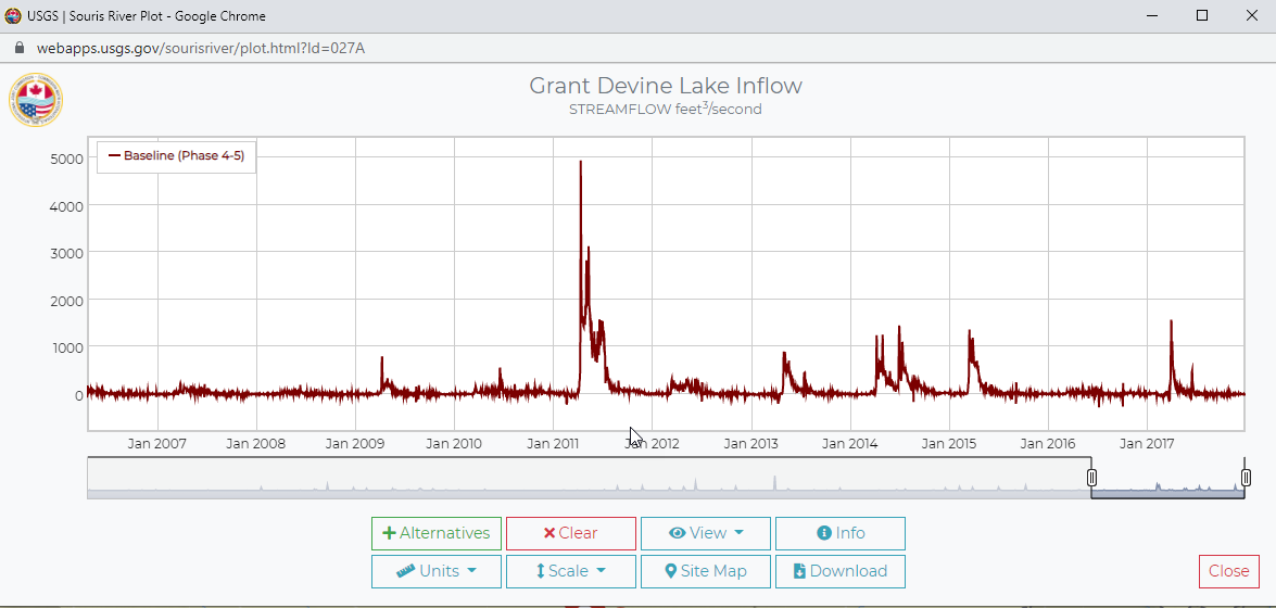
The U.S. Army Corp of Engineers Hydrologic Engineering Center Reservoir System Simulation (HEC-ResSim) model has been used to simulate various reservoir operation alternatives as modeled scenarios for a variety of goals and constraints. Stakeholders in the Souris River Basin need an efficient tool to visualize the reservoir operation alternatives.
Our Solution
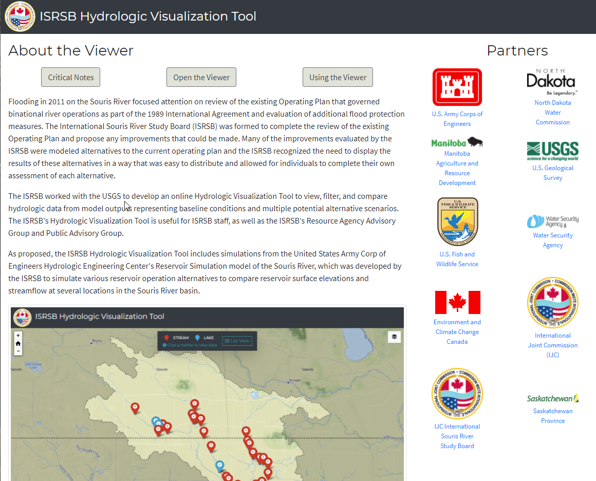
IHDS developers built a Hydrologic Visualization Tool for internal International Souris River Study Board (ISRSB) evaluation and visualization of alternative reservoir surface elevations and streamflow at multiple locations in the Souris River basin that includes:
- Visualizing, filtering, and comparing hydrologic data from alternatives representing baseline conditions and multiple scenarios.
- Adding additional data to the tool easily.
What We Did
Data Integration
Data Visualization
Javascript Development
Web Map Development
Tools We Used
Javascript
Leaflet
SQL Server
HTML/CSS