
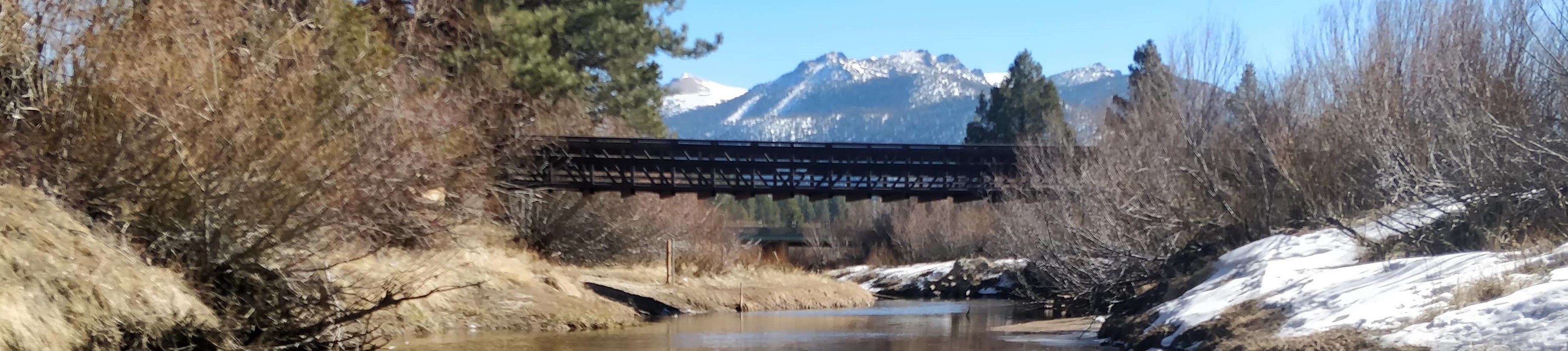
Upper Truckee River at South Lake Tahoe, CA
Compare Historical Real-time Data
Real-time data is available for each parameter from the date listed to present.
Select up to five water years to compare.
Precipitation and Snow Water Equivalent
These graphs are created by the NRCS National Water and Climate Center.
Site Information
Channel length and distance from mouth are approximate and are taken from U.S. Geological Survey Water-Resources Investigations Report 02-4030. Site ID is linked to the USGS National Water Information System (NWIS).
| USGS Site ID | Latitude | Longitude | Altitude | Channel Length | County | Distance from Mouth | Drainage Area |
|---|---|---|---|---|---|---|---|
| Decimal Degrees | Decimal Degrees | Feet above sea level | Miles | Miles | Square miles | ||
| 10336610 | 38.9224078 | -119.9915706 | 6,230 | 19.7 | El Dorado | 1.7 | 54 |
Available Data
Dates listed below are linked to data available from NWIS. Real-time data is available from the date listed to present.