Welcome to the ReSciColl Map
Explore Geo and Bio Scientific Collections
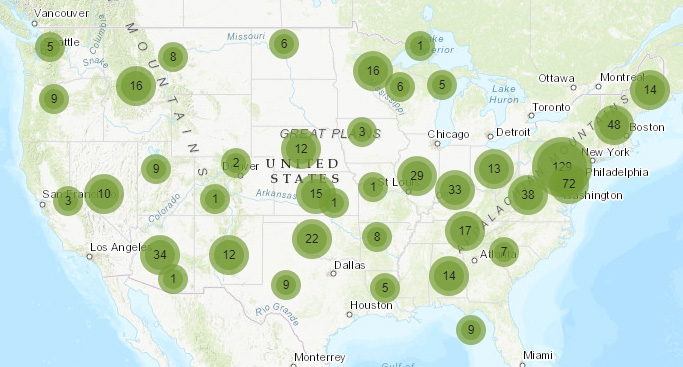
Enter search criteria & Apply preset filters
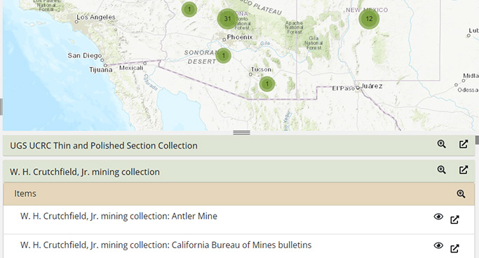
Access Collections and Items
Download search results table

Explore Geo and Bio Scientific Collections
Enter search criteria & Apply preset filters
Access Collections and Items
Download search results table
New map coming soon!
Expected launch date is March 1.
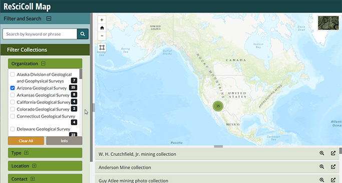
Filter Collections