RiverEyes
Geospatial data collected to document Middle Rio Grande (MRG), New Mexico river drying during irrigation season. The data collection began in 2002 and continues through 2019.
The purpose for data collection is to understand how flow management affect Rio Grande Silvery Minnow habitat in the Isleta and San Acacia reaches of the MRG. The data were compiled to produce a data format of date, upstream, and downstream ends of river drying.
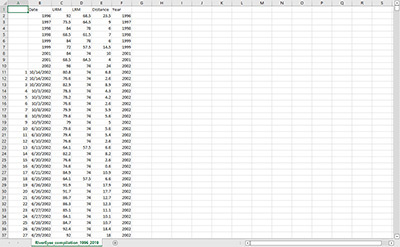
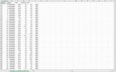
Data collected from 2002 through 2006 (PPSA) are derived from GPS coordinates identifying the end of downstream flow in each reach. These data were spatially joined to 0.1 river mile (RM) segments using ArcGIS 10.5.1 to create upstream river mile (URM) locations. Downstream river mile (LRM) locations were inferred from established locations of pumps or return flows into the MRG. Drying downstream of Bosque del Apache NWR (RM 74) was set to RM 57.5 as the southern boundary of the water management action area at the Power Lines. Flow in the Low Flow Conveyance Channel (LFCC) was assumed to be too low for the pumps at Ft. Craig (RM 64.5) to provide water to the river channel.
Data collected from 2007 through 2016 (SWCA) are derived from Excel spreadsheets graphically identifying the URM and DRM at 0.5 RM intervals by date. The URM and LRM cells were populated with ‘1s’ for URM and ‘2s’ for DRM to use Excel lookup functions to convert the graphical data into RM locations associated with dates.
Data within the compiled notes from 2011 through 2014 (SWCA) includes GPS coordinates for the top of river drying (downstream end of flow, URM), and the bottom of river drying (LRM). Data compiled and condensed for spatial analysis. These data were spatially joined to 0.1 river mile (RM) segments using ArcGIS 10.5.1 to create upstream river mile (URM) and downstream river mile (LRM) locations.
Data collected from 2016 through 2018 (Geosystems Analysis) were recorded as URM and LRM at 0.1 mile intervals.
Data Contact
Michael D. Porter
U.S. Army Corps of Engineers
505-342-3264
Credits
Field Data Collection: S. S. Papadopulos & Associates (SSPA)
Field Data Collection: SWCA Environmental Consultants
Field Data Collection: Geosystems Analysis
Use Limitations
None.
Data sets presented here are listed with permission from the agency or entity which created the data set. For archived data sets, contact the person listed under "Data Contact".