The Challenge
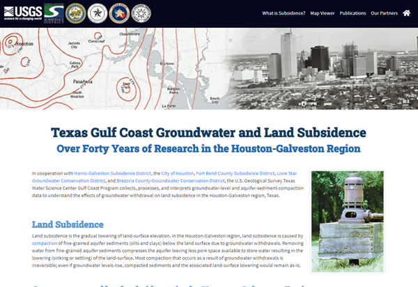
The Houston-Galveston region represents one of the largest areas of land-surface elevation change, or subsidence, in the United States. Most of the land subsidence in this region has occurred as a direct result of groundwater withdrawals for municipal supply, commercial and industrial use and irrigation. A web-based tool for exploring how groundwater, sediment compaction, and land-elevation change are related is needed to help resource managers make informed decisions on water usage.
Our Solution
IHDS developers created a two-part web application that included:
- Designing a single page application to explain subsidence research in the gulf coast
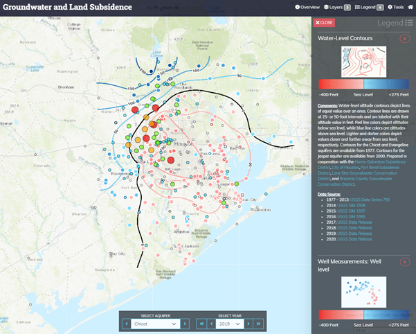
- Building a web map viewer to explore data collected from the last 40 years
- Continuing to add additional data, such as PAM data, into the existing web application
What We Did
App Development
Data Integration
Javascript Development
Web Development
Web Map Development
Tools We Used
ArcGIS Server
Javascript
Leaflet
SQL Server
HTML/CSS