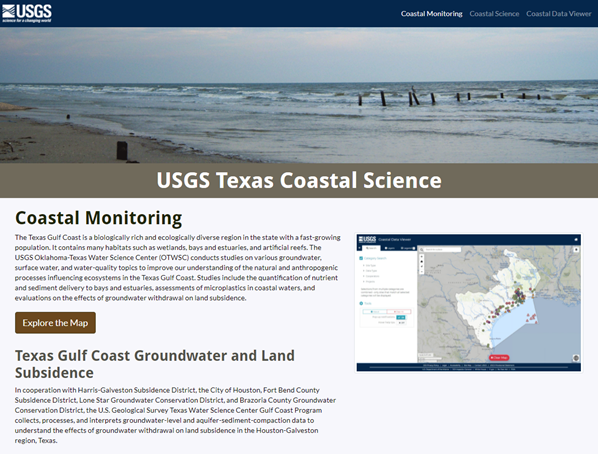
Integrated Hydrology + Data Science
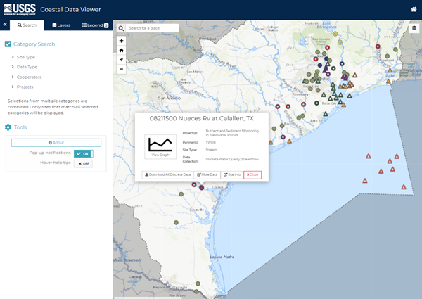
The Oklahoma-Texas Water Science Center Gulf Coast and South Texas Branches cooperate with multiple stakeholders on data monitoring projects along the Texas coast. Stakeholders found it difficult to access the data for the project sites they were funding, and the Gulf Coast Branch found it difficult to easily and quickly communicate the scope and interrelated nature of their cooperative networks and projects with potential new stakeholders. Stakeholders and project staff needed a way to quickly find coastal projects and data.
IHDS developers designed an interactive, map-based website including
Design Strategy
Javascript Development
Science Communication
Web Development
Web Map Development
Javascript
Leaflet
HTML/CSS
Bootstrap