Integrated Hydrology + Data Science
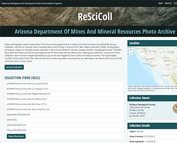
The National Geological and Geophysical Data Preservation Program (NGGDPP) supports and fosters the archival of geological, geophysical, and engineering data, maps, photographs, samples, and other physical specimens by providing technical and financial assistance to state geological surveys and U.S. Department of the Interior (DOI) bureaus. Annually, grant recipients provide project deliverables to the NGGDPP, which include metadata records describing the preserved assets. The metadata records are cataloged in the Registry of Scientific Collections (ReSciColl) and structured according to descriptive elements that provide information about the preserved assets and how they may be accessed by the public for geoscientific research.
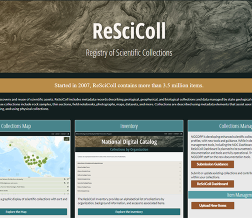
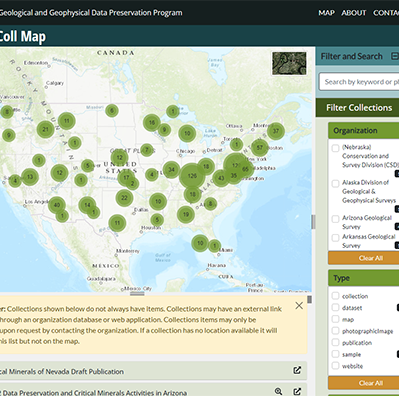
The IHDS team designed and built an interactive web application for searching, uploading, and managing ReSciColl metadata and an interactive map to geospatially view and search for ReSciColl items. Website and map enhancements are added on a regular basis.
App Development
Data Services
Design Strategy
UX/UI Design
Web Development
Web Map Development
Javascript
Leaflet
mongoDB
HTML/CSS
Bootstrap