Upper Rio Grande Basin Focus Area Study
Methods
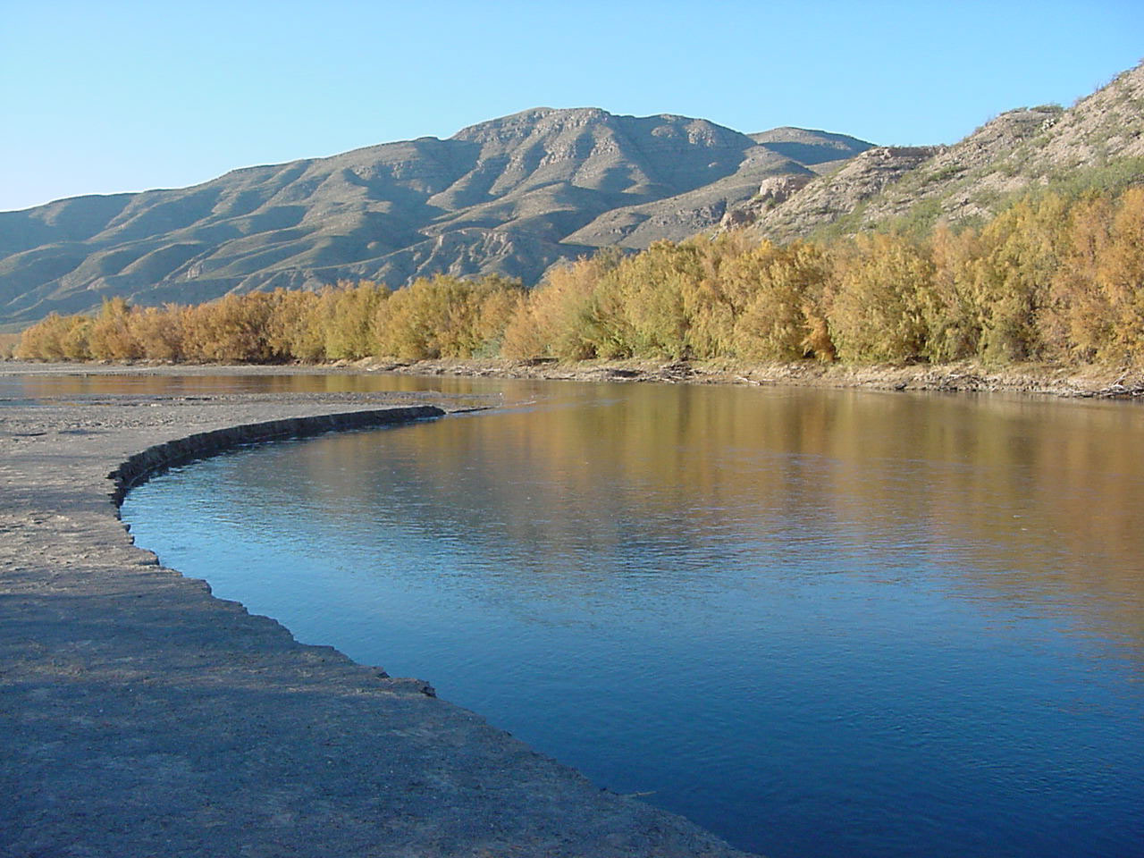
This study will assess Upper Rio Grande Basin (URGB) water resources from 1985 to 2015 at a watershed boundary scale (8-digit Hydrologic Unit Code) organized around five important water-availability components: water use, groundwater, snow processes, streamflow processes, and watershed processes.
Components were identified as critical to understanding water resource availability status and trends during early meetings with stakeholders in the URGB. The USGS will focus on delivering rigorous, nationally consistent, spatially distributed water budget data and interpretations, in keeping with its scientific, nonregulatory mission.
Water Use
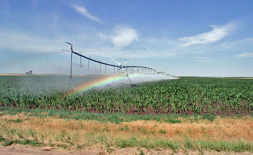
Water use and withdrawal trends in the URGB will be assessed, by water-use category, from available USGS compilations for Colorado, New Mexico, and Texas (1985-2015), other completed studies, and new approaches.
Groundwater
Groundwater is an important source of water in the URGB. Groundwater availability will be assessed through inventory and compilation of existing data from local and national sources, the development of basin-scale hydrogeologic framework analysis, and water-level surface and change maps.
Snow Processes
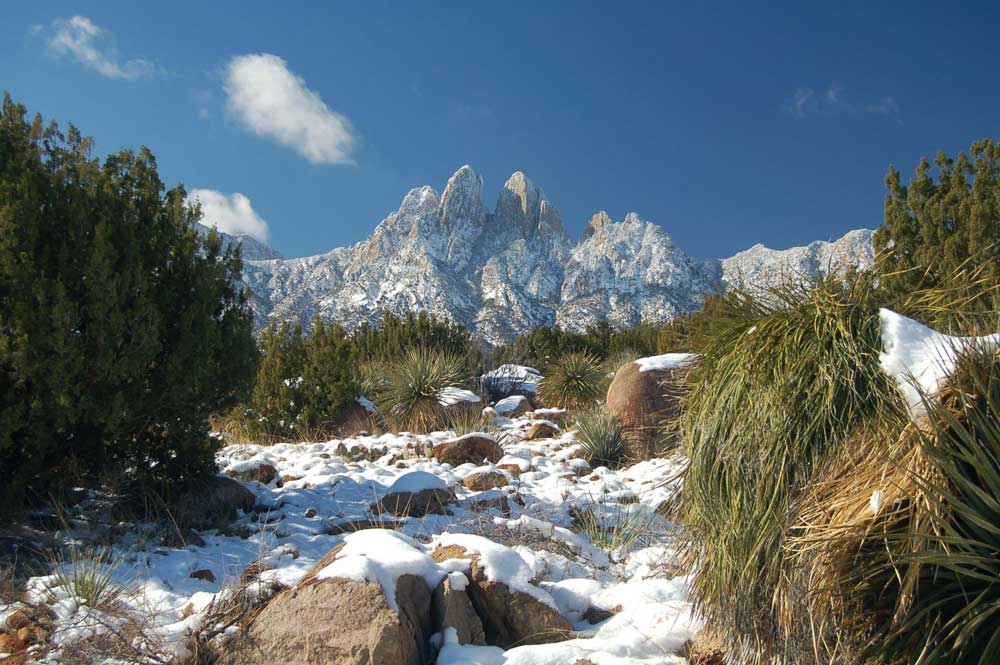
Snowmelt from Basin headwaters may provide as much as 50 to 75% of annual streamflow in the URGB. This study will improve understanding of long-term trends in the amount and timing of this important water source through enhanced monitoring, modeling, and analysis of snow-pack development.
Streamflow Processes
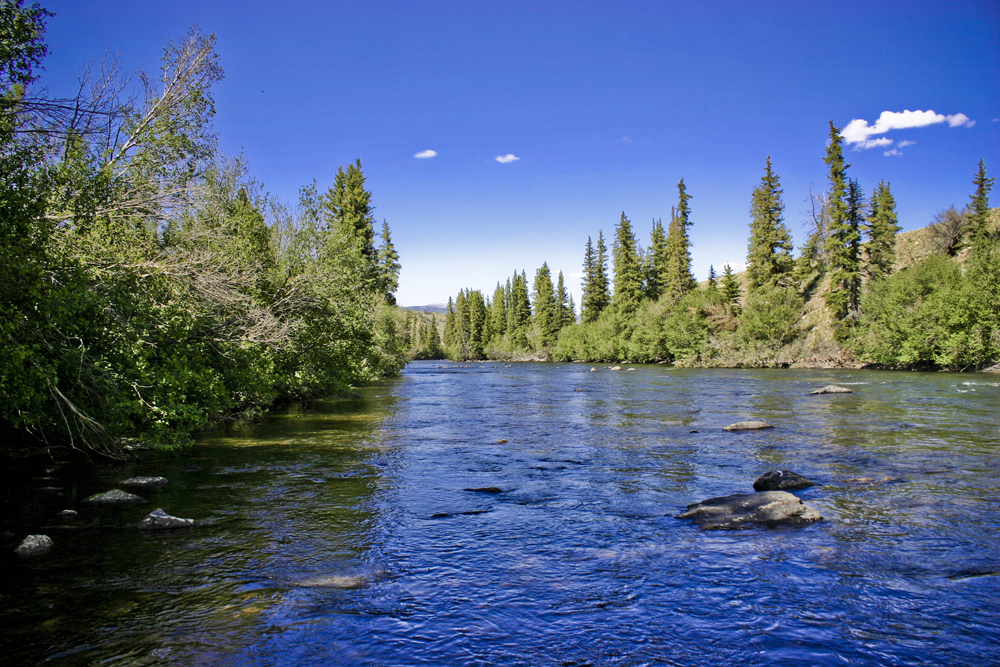
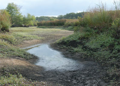
Water exchange between streams and alluvial aquifers impacts water transport and availability. In this study, the spatial and temporal variability of baseflow, runoff, and groundwater recharge will be determined from streamflow data using multiple methods.
Watershed Processes
The Upper Rio Grande Basin portion of the National Hydrologic Model will be calibrated using available climatic, ET, and streamflow data, to improve model performance in the simulation of basin watershed processes. The resulting model will allow simulation of the hydrologic impacts of future land-use and climate changes.