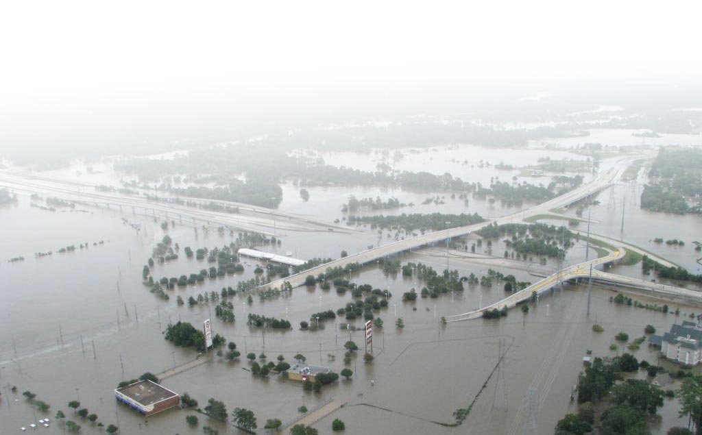
To be proactive in State and regional flood planning, it is crucial that Texas decision-makers understand the complexities of coastal flood risks and have effective tools for mitigation planning at their disposal. To achieve this, the Texas General Land Office, through its Community Development Block Grant Disaster Recovery (CDBG-DR) Program, funded the Texas Water Development Board (TWDB) to serve as the lead agency to coordinate a comprehensive flood-risk reduction planning project in partnership with the U.S. Geological Survey and the U.S. Army Corps of Engineers – Galveston District.
The Texas Integrated Flooding Framework (TIFF) project was established in 2020 to create an integrated framework to equip local, regional, State, and Federal entities with vital compound (combined riverine and storm surge) flood-risk information and essential planning tools to support comprehensive regional flood planning and mitigation in the coastal zone of Texas.
Have feedback or found a broken link?
Please reach out to us at TIFF@usgs.gov to report any issues or suggest additional data sources.
Measuring, Mapping, and Managing Flood Risk (M3FR)
M3FR is a project funded by The Texas General Land Office (GLO) and led by the Texas A&M University's Institute for a Disaster Resilient Texas (IDRT). The project aims to improve flood risk communication by integrating multiple types of flood risk and hazard models and leveraging risk communication best practices.
Key Points:
- In its initial year of funding, M3FR created a comprehensive catalog of commonly used flood hazard models in the United States (available at: https://floodmodels.cloud.tdis.io/).
- Flood models are essential for decision-makers, offering insights into flood hazards crucial for planning, response, and recovery.
- This catalog highlights key characteristics of each model that are relevant to the needs of decision makers, emphasizing practical utility over academic details to serve as effective guidelines for disaster management and flood-related issues.