USGS Investigators: Jeff Conaway
NPS Investigators: Michael Loso
| 2022 |
|---|
| $50,000 |
NPS Park: Wrangell-St Elias NP & Pres
USGS Center: Alaska Science Center
States: AK
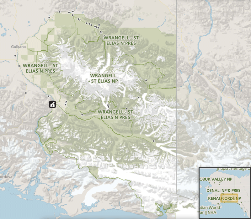
Placer mining occurs within the administrative boundaries of Wrangell-St. Elias National Park and Preserve (WRST) on mining claims extant prior to creation of the park and preserve in 1980. Until recently, these mining activities, even where occurring on the private inholdings of patented mining claims, were subject to regulation by the National Park Service (NPS). However, this situation was changed by a U.S. Supreme Court decision and as a result, the NPS no longer has authority to regulate mining activities on private inholdings within park boundaries.
On Dan Creek, a tributary of the Nizina River within WRST, this new situation has constrained the ability of park staff to ensure that longstanding mining operations continue to operate within industry best practices. Mining operations at Dan Creek are the largest in the park and are expanding. Because the primary means by which these operations could impact lands outside their boundaries is through discharge of sediment and/or contaminants into Dan Creek and thence downstream into Nizina River—one of the park’s largest rivers and critical for multiple anadromous fish populations—impaired water quality could threaten Dolly Varden (Salvelinus malma) in Dan Creek, multiple salmon species in Nizina River, and a world-famous sockeye salmon (Oncorhynchus nerka) run in the downstream Copper River.
This study is conducted to test a reconnaissance-scale water-quality monitoring program in both Dan Creek and Nizina River. The water-quality monitoring program focuses on detecting baseline and downstream levels of hydrocarbons (sourced potentially from diesel fuel, lubricants, and hydraulic fluid) and turbidity (from in-stream excavation and washplants) in Dan Creek and Nizina River. The sampling is designed using an approach with an emphasis on answering two distinct questions:
