USGS Investigators: Jeff Conaway
NPS Investigators: Michael Loso
| 2020 | 2021 | 2022 |
|---|---|---|
| $28,600 | $28,600 | $28,600 |
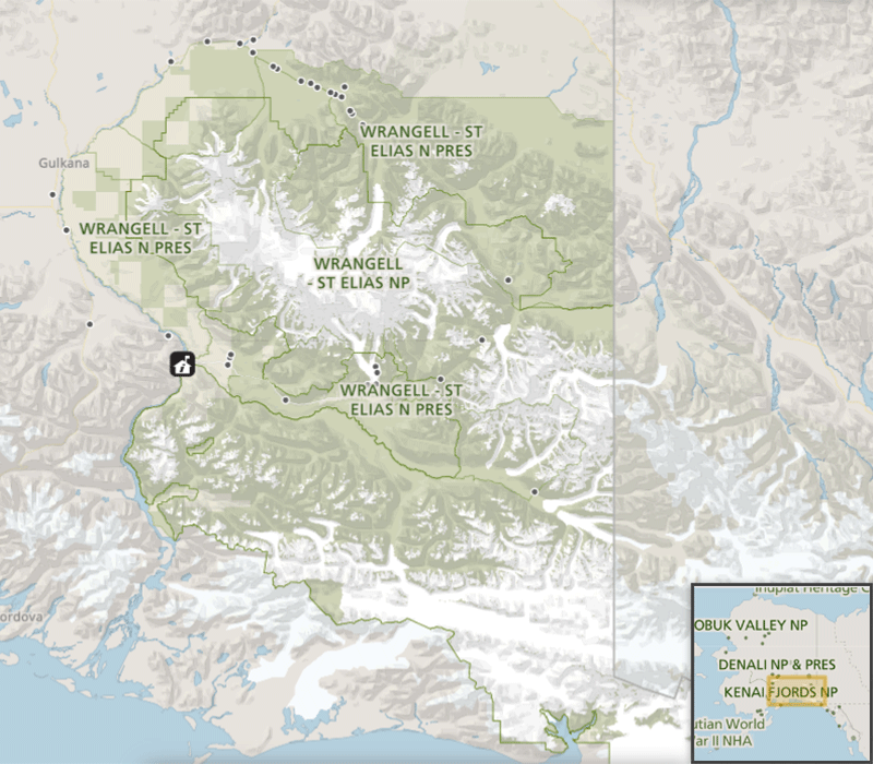
NPS Park: Wrangell-St Elias NP & Pres
USGS Center: Alaska Science Center
States: AK
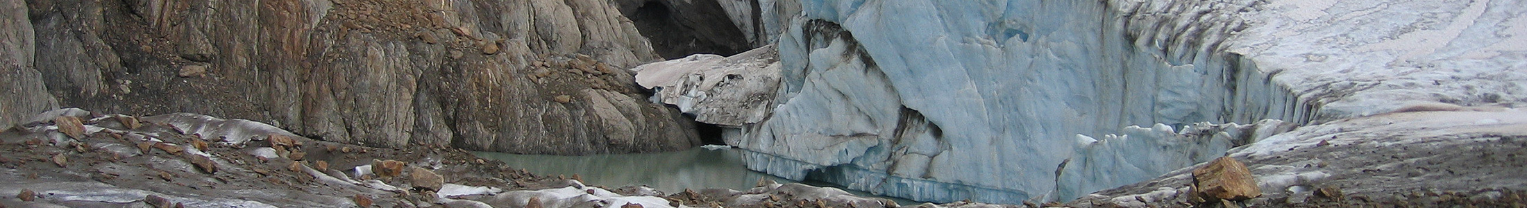
Kennicott River emerges from 28-mile long Kennicott Glacier, one of the largest easily accessible glaciers in Alaska. Development in the Kennicott Valley follows from early 20th century copper mining adjacent to the glacier margin. The mines are now managed by the National Park Service as the Kennecott Mines National Historic Landmark (NHL). Each year, Kennicott River experiences one or more jökulhlaups—glacial outburst floods—in response to sudden and catastrophic drainage of ice-dammed lakes located along the margin of the Kennicott Glacier. The public access bridge, a nearby campground, a privately-owned and operated freight bridge, and many other services (both private and NPS) critical for NPS operations and visitors remain vulnerable to outburst floods. Predicting the timing and magnitude of these floods has grown more difficult, however, in response to upstream glacier change.
In mid-summer, however, when warm temperatures commonly lead to a strong diurnal cycle of melt-driven runoff, distinguishing the onset of a jökulhlaup from more typical daily discharge variations is difficult. Even with real-time monitoring, hazardous outburst floods are therefore difficult to recognize until they are well underway. Real-time measurements of water temperature, conductivity, and turbidity will allow NPS staff to distinguish in real time between “normal†melt-driven high-water events and incipient outburst floods.