USGS Investigators: Alana Spaetzel
NPS Investigators: Tim Smith
| 2019 |
|---|
| $50,000 |
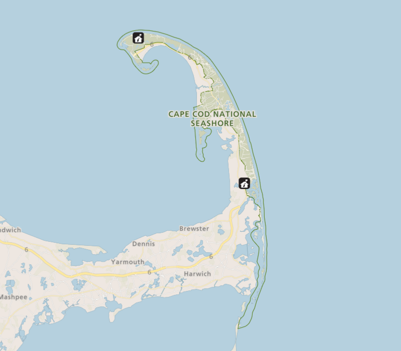
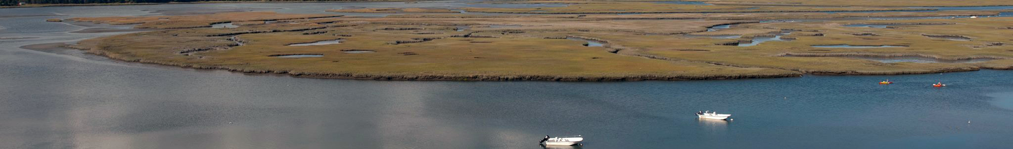
The Herring River is the largest river within Cape Cod National Seashore (CACO) and, historically, one of the most significant tidal rivers on outer Cape Cod. CACO is leading a multi-agency team to restore tidal flow to the former salt marsh.
Quality-assured water-quality data are necessary for the success of the restoration project because these data serve as inputs to the Adaptive Management Plan (AMP), demonstrate credibility to the public, and support the permitting process.
This project will address the gap between water-quality monitoring and the applications that require monitoring data in two ways: (1) data integration and (2) stakeholder communication. We will conduct a comprehensive data synthesis of both discrete and continuous water-quality data collected by USGS and NPS in the Herring River watershed and publish the integrated data as a USGS data release. To communicate the data availability, an online story map will be created that will show the monitoring locations, associated metadata, and links to the downloadable data.