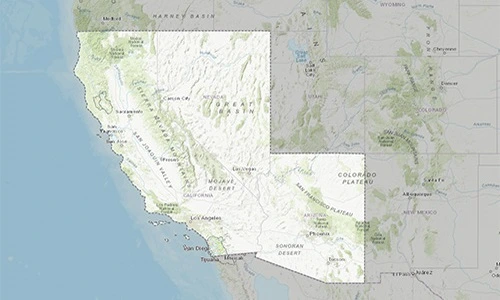
Banner image
Interagency Flood Risk Management
Estimate Your Base Flood Elevation

Region 9

Region 9 map
FEMA Region 9.

Base Level Engineering results have been prepared to meet all technical, engineering and mapping standards so that they may be used to update FIRMs in the case that the current inventory is not able to be validated.

FEMA is working with its Federal and State partners to identify watershed basins in need of flood risk information. Additional watersheds will be invested in each fiscal year, if your community is interested in having watersheds in your vicinity assessed, contact us to let us know of your interest.

Benefits
The Estimated Base Flood Elevation Viewer allows users to determine the flood risk (High, Moderate, Low) throughout watersheds that have been assessed using Base Level Engineering methods.
Estimated base flood elevations and flood depths for site specific locations (within the estimated 1% annual chance floodplain).
Immediate point-click-download access to engineering models and Base Level Engineering datasets.
Allows Federal, State, and local governments, as well as individuals, access to flood risk information.
Methods
Base Level Engineering is built on high resolution ground elevation information, allowing FEMA to prepare more accurate modeling.
Base Level Engineering hydrology is based on Regional Regression Equations. The results are reviewed against available gage records.
The hydraulic analysis leverages automated modeling techniques that are refined with manual manipulation to create a baseline engineering modeling.
Base Level Engineering allows development and engineering industry professionals to support local communities.

Watershed-wide Base Level Engineering assessments develop the following flood risk information, available for download through this site:

Additional items may be available for download including Hazus analysis (county or HUC8 level), Flood Risk Report, and/or Base Level Engineering Technical Report.

FEMA Region 9 is partnered with the InFRM team to make Base Flood Elevation (BFE) data and supporting analyses available for various locations without published BFEs on Flood Insurance Rate Maps (FIRMs). Base Level Engineering information does not replace the information shown on any current effective FIRM panel in a community. However, BLE may be used to support the determination of flood elevations when it serves as best available data.

FEMA is coordinating with local communities to initiate updates to the existing flood hazard information shown on FIRM panels through the incorporation of BLE. Region 9 BLE incorporation is intended to be depicted as Zone A (1% annual chance flood area with no depths or elevations shown), this viewer provides a simple and quick method to obtain flood elevations within Zone A areas defined by BLE.

Contacts

FEMA Region 9 includes Arizona, California, Hawaii, Nevada, Guam, American Samoa, Commonwealth of the Northern Mariana Islands, Republic of the Marshall Islands, and the Federated States of Micronesia.

Michael J. Bishop
510.502.9935
Kate Kilduff
202.568.4216
Patrick Clancey
510.289.5326