California Oil, Gas, and Groundwater Program
Geologic controls on groundwater salinity reversal in North Coles Levee Oil Field, southern San Joaquin Valley, California, USA
Summary of Flowers and others (2022)
Groundwater has commonly been classified as a potential source of drinking water based on its salinity . Typically, resource managers will determine the shallowest depth where salinity reaches 10,000 mg/L and then assume all of the deeper parts of the system contain permanently unusable water. This conceptual model is represented in the left-hand side of the box.
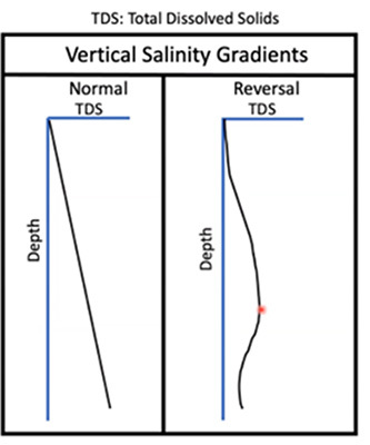
There are exceptions to this general pattern where zones of fresher water lie under more saline layers as represented in the right-hand side of the box.
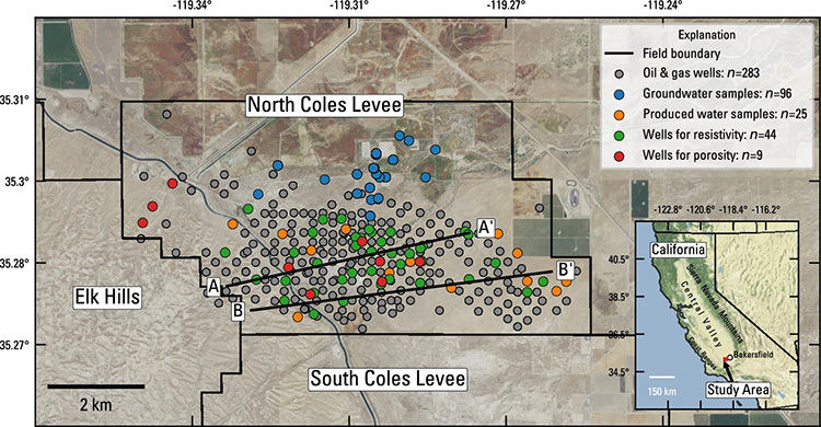
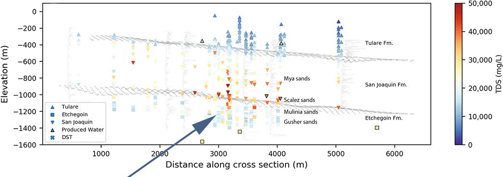
Three-dimensional salinity data generated using methods described in the paper show fresher water in the Etchegoin Formation below the San Joaquin Formation in the study area.
The main conclusions are:
- Salinities in the San Joaquin and Etchegoin Formations in the study area are dominated by dilution or evaporation of seawater, not by rock interactions.
- Geologic processes have a role in creating different salinity profiles in groundwater. In this case, connate water was preserved from the original sedimentary environments.