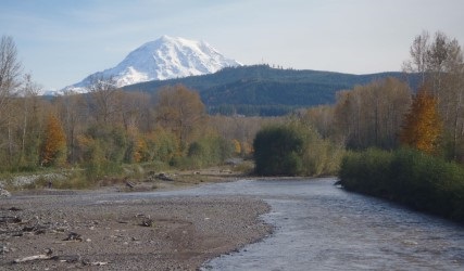
The U.S. Geological Survey (USGS) has a long history of working with local partners to understand the groundwater of Washington State. From the late 1800’s when efforts were focused on locating flowing artesian wells to support farming, to current efforts focused on preparing complex computer models to help in the management of heavily-used groundwater, the USGS continues to contribute to the growing body of knowledge about Washington groundwater.
This application includes information about ongoing or completed groundwater studies in Washington. Included are studies from coastal areas, the densely populated Puget Sound, central and eastern Washington, and cross-boundary areas shared with Canada, Oregon, and Idaho. Although methods of investigation and reporting have changed through time, these studies provide historical context and insights into groundwater conditions throughout the state that can be used in the continued development, management, and protection of Washington State’s groundwater resources.
Click the "Select" tab to select projects.
Select Projects
Map Layers
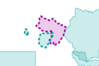
Project Study Areas
 | |
| AREA COLOR | |
|---|---|
| Groundwater study | |
| Groundwater study with numerical flow model | |
| AREA BORDER | |
| Area of study completed in partnership with Tribes | |
| Area of study completed in partnership with local, State, and Federal agencies | |
Water Resource Inventory Areas
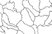 | |
| Water Resource Inventory Area (WRIA) boundary | |
Counties
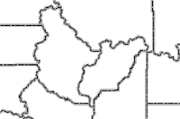 | |
| County boundary | |
Watersheds
 | |
| Watershed boundary | |
Major Rivers
 | |
| Waterbody | |
| Stream | |
| Intermittent Stream | |
Principal Aquifers
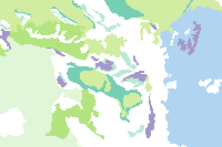 | ||
| Blues | Unconsolidated and semiconsolidated sand and gravel aquifers | |
| Greens | Sandstone aquifers | |
| Purples | Sandstone and carbonate-rock aquifers | |
| Browns | Carbonate-rock aquifers | |
| Reds | Igneous and metamorphic-rock aquifers | |
| White | Other | |