The Integrated Hydrology + Data Science Branch intersects science and technology using interdisciplinary expertise to deliver critical information to the public and stakeholders.
Click on a bubble below to learn more about our work or use the button below to see a list of all projects.
Bubble size indicates when a project was completed. Largest bubbles = most recently completed.
Data Science Applications communicates the products
We have customers across the US
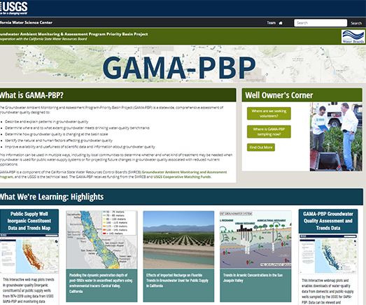
Studies data of water use and water availability
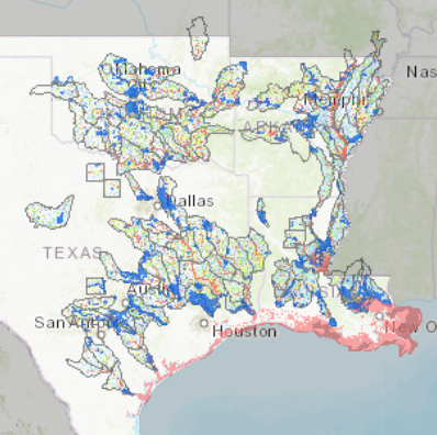
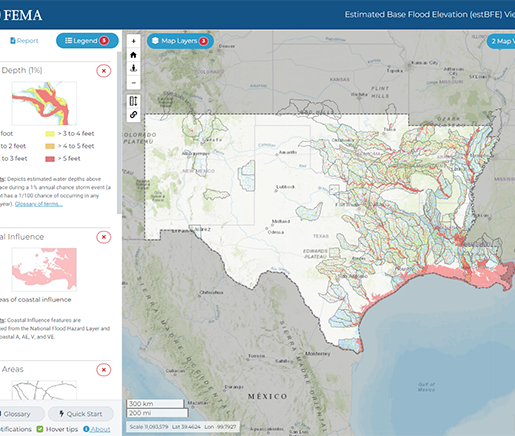
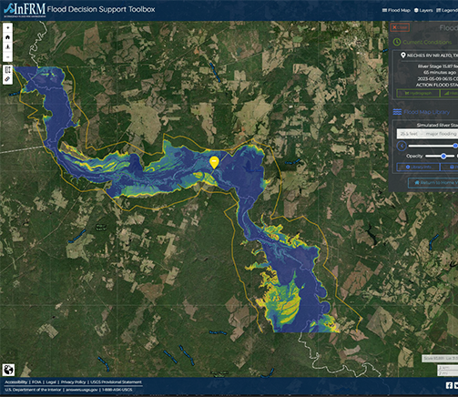
Studies Flood Risk Management
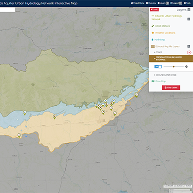
Geospatial Science analyzes data
Projects located in multiple states, nationwide, and international