
Sacramento Valley Groundwater Resources Used for Public Supply
Study Unit
- Study Area: Redding, Middle Sacramento, Southern Sacramento, Northern Sacramento
- Counties Covered: Butte, Colusa, Glenn, Placer, Sacramento, Shasta, Solano, Sutter, Tehama, Yolo, and Yuba
Click on the study area below to see a list of products.
Products
Reports
Groundwater Quality in the Middle Sacramento Valley, California
Bennett, G.L., V, Fram, M.S., and Belitz, K., 2011, U.S. Geological Survey Fact Sheet 2011-3005, 4 p.
Groundwater Quality in the Northern Sacramento Valley, California
Bennett, G.L., V, Fram, M.S., and Belitz, K., 2011, U.S. Geological Survey Fact Sheet 2011-3004, 4 p.
Groundwater Quality in the Southern Sacramento Valley, California
Bennett, G.L., V, Fram, M.S., and Belitz, K., 2011, U.S. Geological Survey Fact Sheet 2011-3006, 4 p.
Status of Groundwater Quality in the Southern, Middle, and Northern Sacramento Valley Study Units, 2005-08: California GAMA Priority Basin Project
Bennett, G.L., V, Fram, M.S., Belitz, K., and Jurgens, B.C., 2010, U.S. Geological Survey Scientific Investigations Report 2011-5002, 119 p.
Data
Blank results for trace-element data collected for the California Groundwater Ambient Monitoring and Assessment (GAMA) Program Priority Basin Project, October 2009-October 2018
Bennett, G.L., 2020, U.S. Geological Survey data release
Ground-water quality data in the middle Sacramento Valley study unit, 2006: Results from the California GAMA program
Schmitt, S.J., Fram, M.S., Milby Dawson, B.J., Belitz, K., 2008, U.S. Geological Survey Data Series 385, 100 p.
Ground-Water Quality Data in the Southern Sacramento Valley, California, 2005: Results from the California GAMA Program
Milby Dawson, B.J., Bennett V, G.L., and Belitz, K., 2008, U.S. Geological Survey Data Series 285
Groundwater quality data in the northern Sacramento Valley, 2007: Results from the California GAMA program
Bennett, P.A., Bennett, G.L., V, Belitz, Kenneth, 2009, U.S. Geological Survey Data Series 452, 90 p.
Pesticide constituent data from the California Groundwater Ambient Monitoring and Assessment Program Priority Basin Project (GAMA-PBP), August 2013 - May 2018, schedule 2437 constituents
Fram, M.S., 2020, U.S. Geological Survey data release
Water use information for sites sampled by the California Groundwater Ambient Monitoring and Assessment Program Priority Basin Project (GAMA-PBP), 2004-2021 (ver. 3.0, October 2023)
Stork, S.V., and Fram, M.S., 2021, U.S. Geological Survey data release
Photos
Click on a photo to see the full-size image.
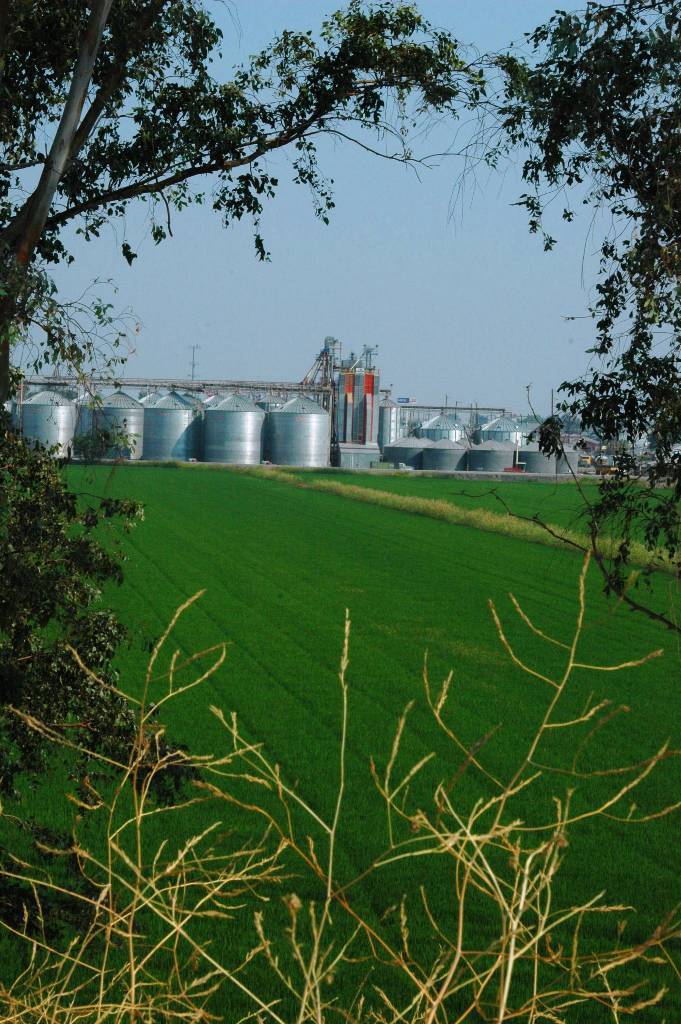
Grain silos behind a green farm field
Credit: USGS, 2008
Grain silos behind a green farm field
Photo Credit: USGS
Date Taken: 7/14/2008
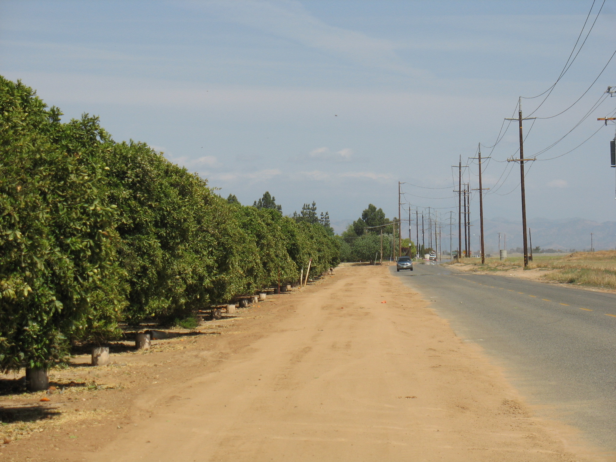
Groves of trees along a rural road near Madera
Credit: USGS, 2008
Groves of trees along a rural road near Madera
Photo Credit: USGS
Date Taken: 4/30/2008
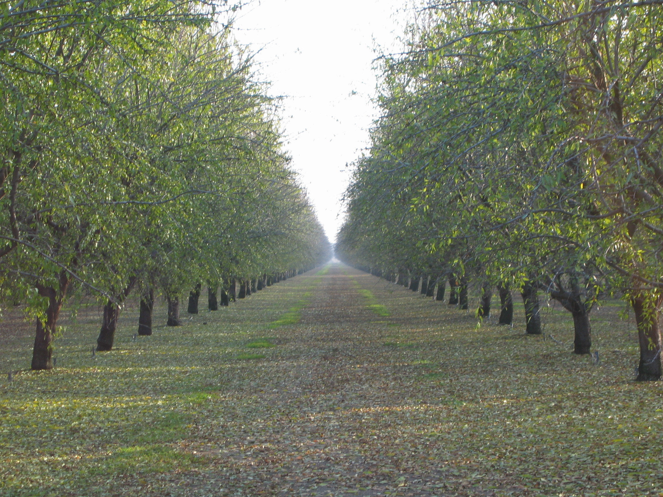
Orchards in California's Central Valley
Credit: USGS, 2005
Orchards in California's Central Valley
Photo Credit: USGS
Date Taken: 12/12/2005
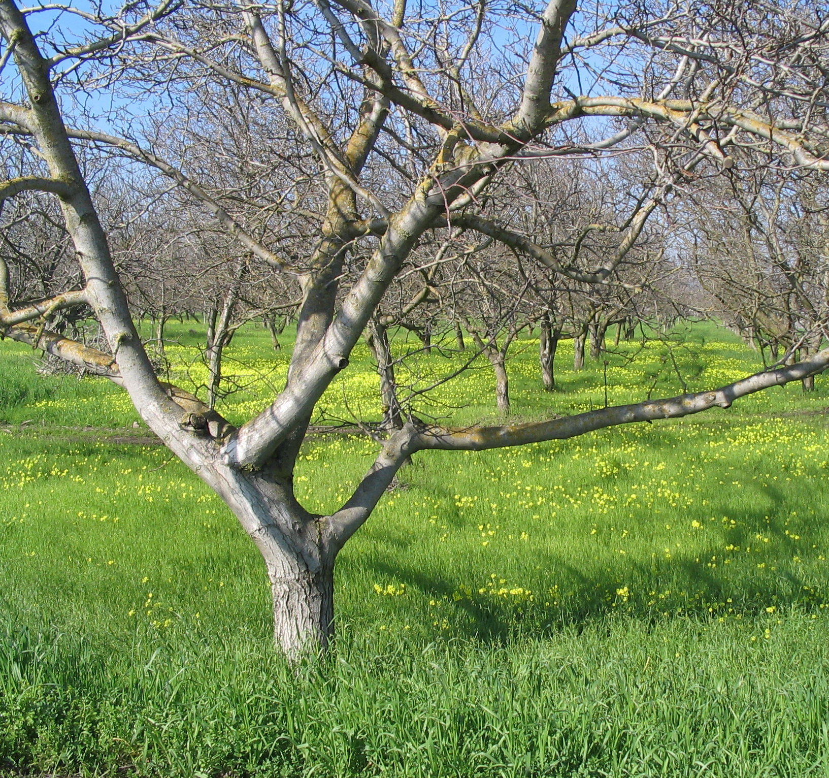
Dormant fruit trees in orchard with mustard groundcover blooming
Credit: USGS, 2005
Dormant fruit trees in orchard with mustard groundcover blooming
Photo Credit: USGS
Date Taken: 2/1/2005
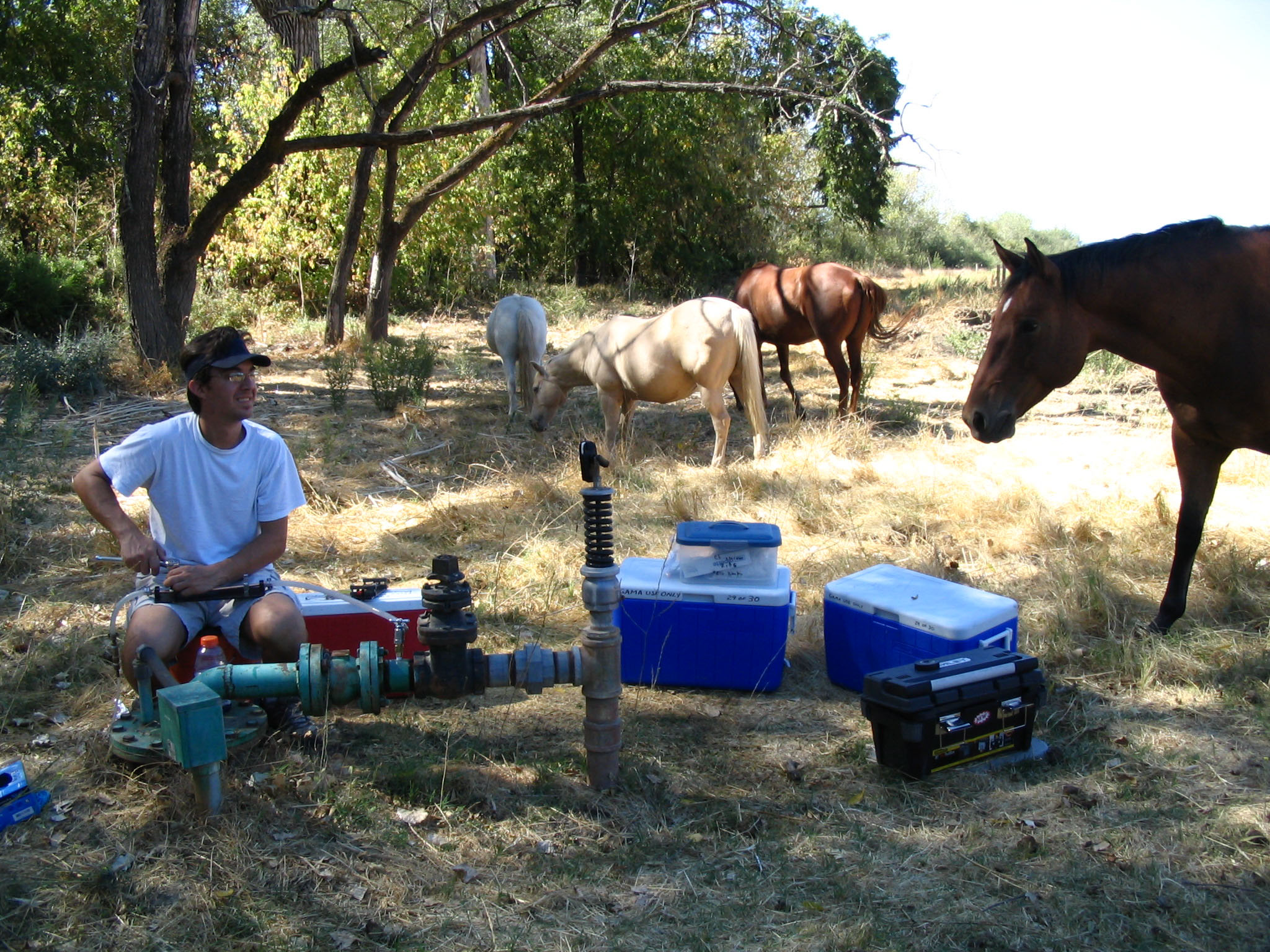
Curious horses visit geographer taking groundwater quality samples in field
Credit: USGS, 2004
Curious horses visit geographer taking groundwater quality samples in field
Photo Credit: USGS
Date Taken: 9/15/2004
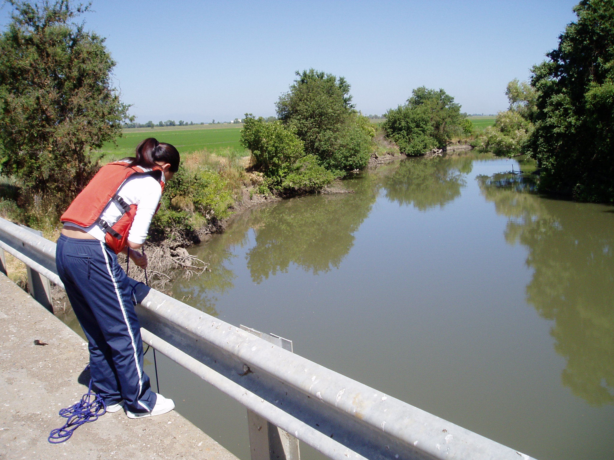
USGS scientist taking a measurement from Butte Creek
Credit: USGS, 2003
USGS scientist taking a measurement from Butte Creek
Photo Credit: USGS
Date Taken: 7/8/2003
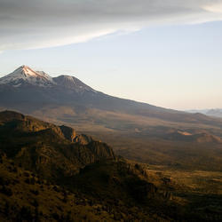
Mt Shasta in the distance
Credit: USGS, 2004
Mt Shasta in the distance
Photo Credit: USGS
Date Taken: 7/26/2004
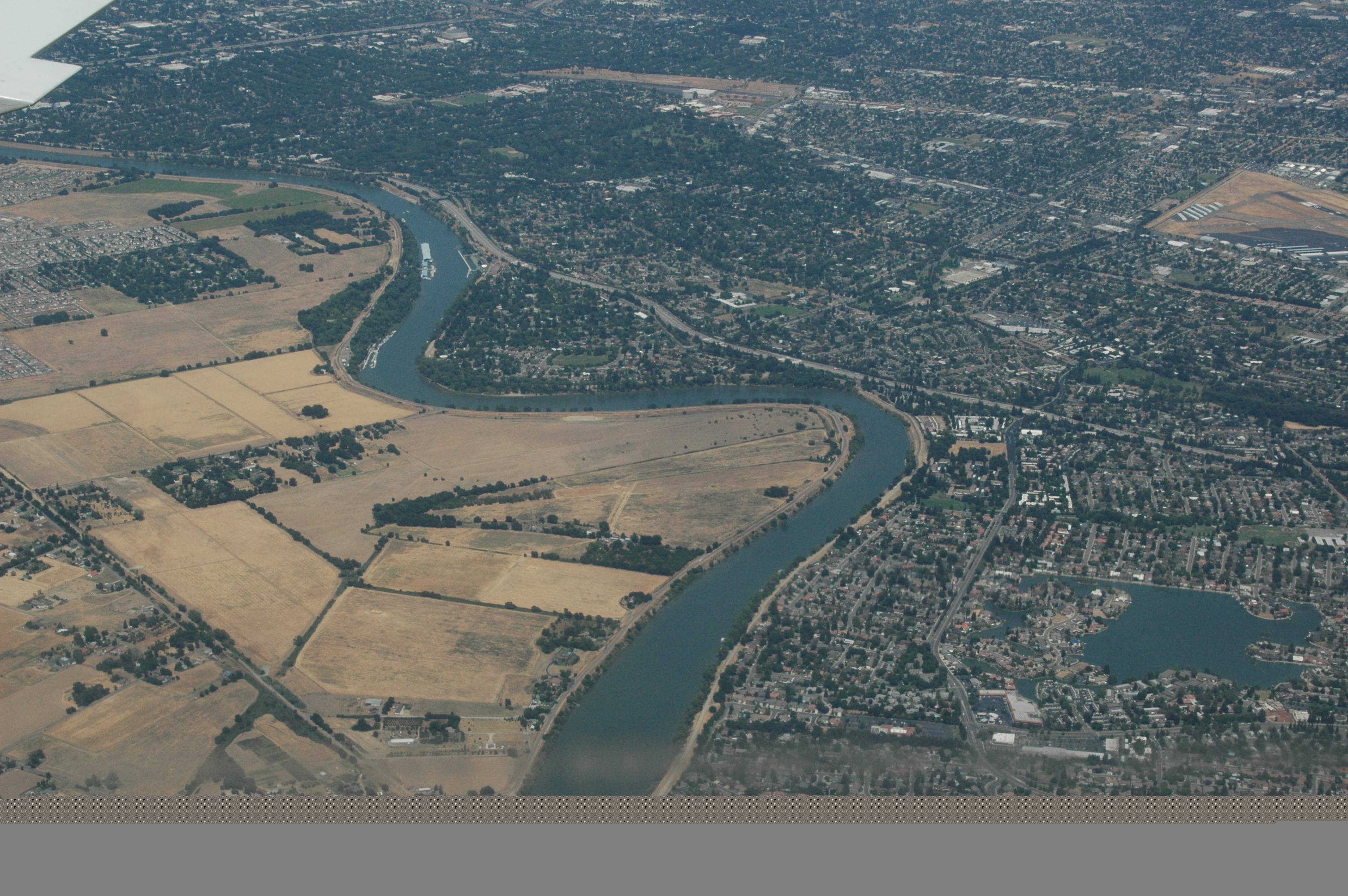
Aerial view of Sacramento urban area next to Sacramento River
Credit: USGS, 2008
Aerial view of Sacramento urban area next to Sacramento River
Photo Credit: USGS
Date Taken: 6/20/2008