
Cascade Range and Modoc Plateau Groundwater Resources Used for Public Supply
Study Unit
- Study Area: Eastside Sacramento Valley, Honey Lake Valley, Low Use Basins, Quarternary Volcanic Areas, Shasta Valley and Mount Shasta Volcanic Area
- Counties Covered: Siskiyou, Modoc, Shasta, Lassen, Tehama, Plumas, and Butte
Click on the study area below to see a list of products.
Products
Reports
Groundwater Quality in the Cascade Range and Modoc Plateau, California
Fram, M.S., and Shelton, J.L., 2015, U.S. Geological Survey Fact Sheet 2014-3123, 4 p.
Status and Understanding of Groundwater Quality in the Cascade Range and Modoc Plateau Study Unit, 2010: California GAMA Priority Basin Project
Fram, M.S., and Shelton, J.L., 2015, U.S. Geological Survey Scientific Investigations Report 2014-5238, 131 p.
Data
Blank results for trace-element data collected for the California Groundwater Ambient Monitoring and Assessment (GAMA) Program Priority Basin Project, October 2009-October 2018
Bennett, G.L., 2020, U.S. Geological Survey data release
Groundwater-quality data in the Cascade Range and Modoc Plateau study unit, 2010: Results from the California GAMA Program
Shelton, J.L., Fram, M.S., and Belitz, Kenneth, 2013, U.S. Geological Survey Data Series 688, 124 p.
Pesticide Constituent Data from the California Groundwater Ambient Monitoring and Assessment Program Priority Basin Project (GAMA-PBP), 2004 - 2018
Lor, V., Balkan, M., and Stork, S.V., 2019, U.S. Geological Survey data release
Water use information for sites sampled by the California Groundwater Ambient Monitoring and Assessment Program Priority Basin Project (GAMA-PBP), 2004-2021 (ver. 3.0, October 2023)
Stork, S.V., and Fram, M.S., 2021, U.S. Geological Survey data release
Photos
Click on a photo to see the full-size image.
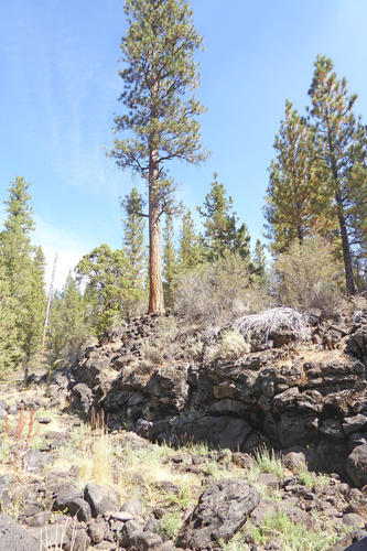
A 3-4 m high outcrop of basalt lava, part of a broader lava flow that erupted about 300,000 years ago following basalt dike intrusions in a rear-arc region of northern California
Credit: Duane Champion, USGS, 2016
A 3-4 m high outcrop of basalt lava, part of a broader lava flow that erupted about 300,000 years ago following basalt dike intrusions in a rear-arc region of northern California
Photo Credit: Duane Champion, USGS
Date Taken: 9/2/2016
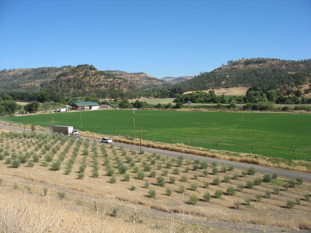
Newly planted orchard and green field in Modoc County
Credit: USGS, 2010
Newly planted orchard and green field in Modoc County
Photo Credit: USGS
Date Taken: 9/16/2010
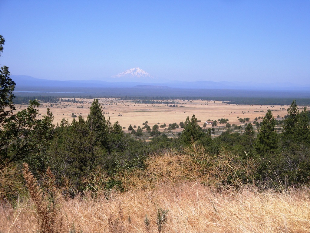
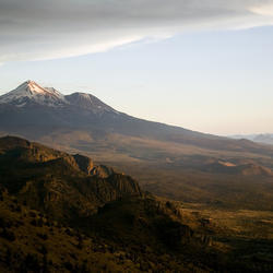
Hill in Modoc County of valley with Mt Shasta in the background
Credit: USGS, 2010
Hill in Modoc County of valley with Mt Shasta in the background
Photo Credit: USGS
Date Taken: 8/5/2010
Mt Shasta in the distance
Credit: USGS, 2004
Mt Shasta in the distance
Photo Credit: USGS
Date Taken: 7/26/2004
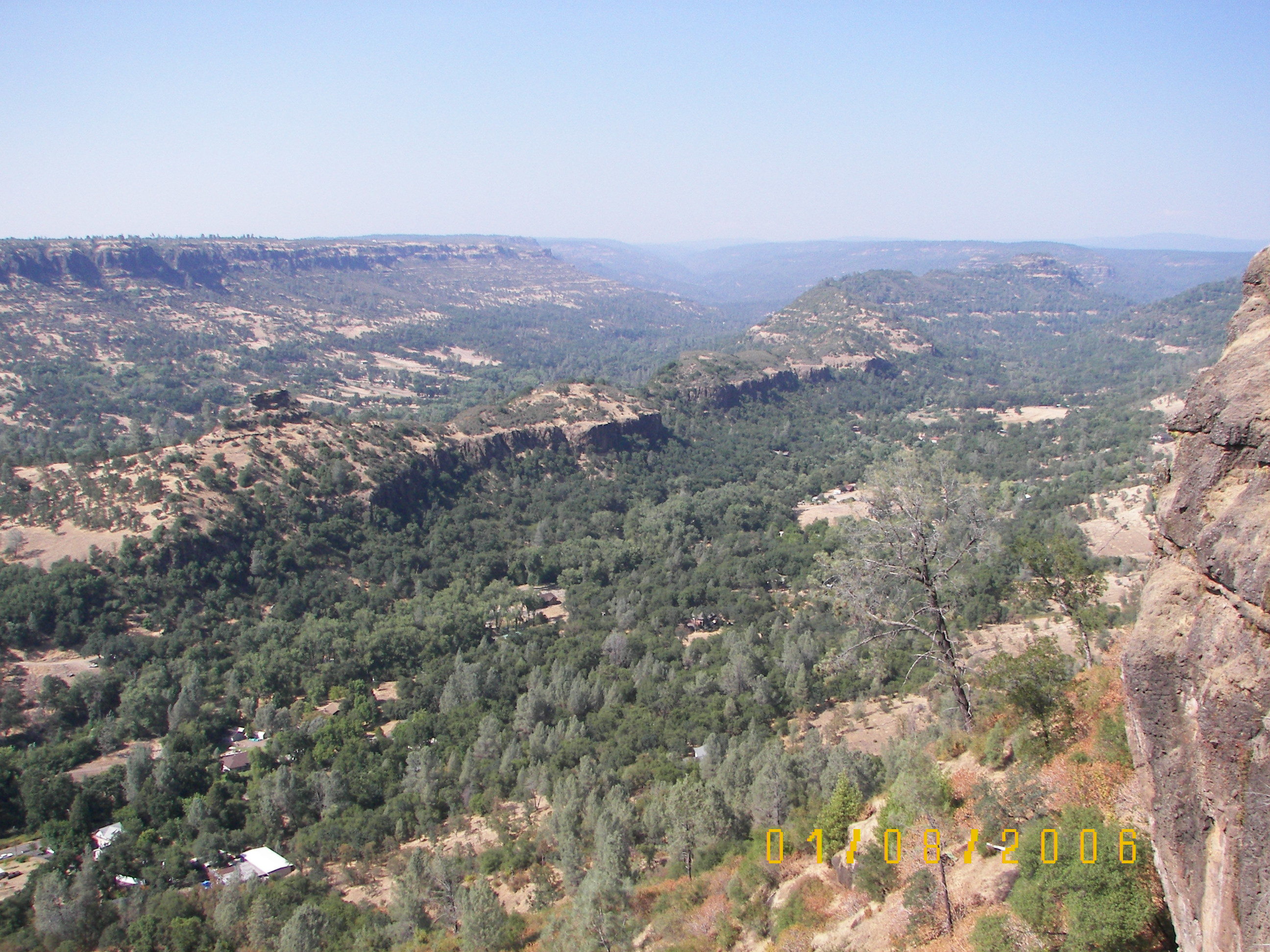
High vantage point showing buttes and valleys with vegetation
Credit: USGS, 2006
High vantage point showing buttes and valleys with vegetation
Photo Credit: USGS
Date Taken: 8/1/2006
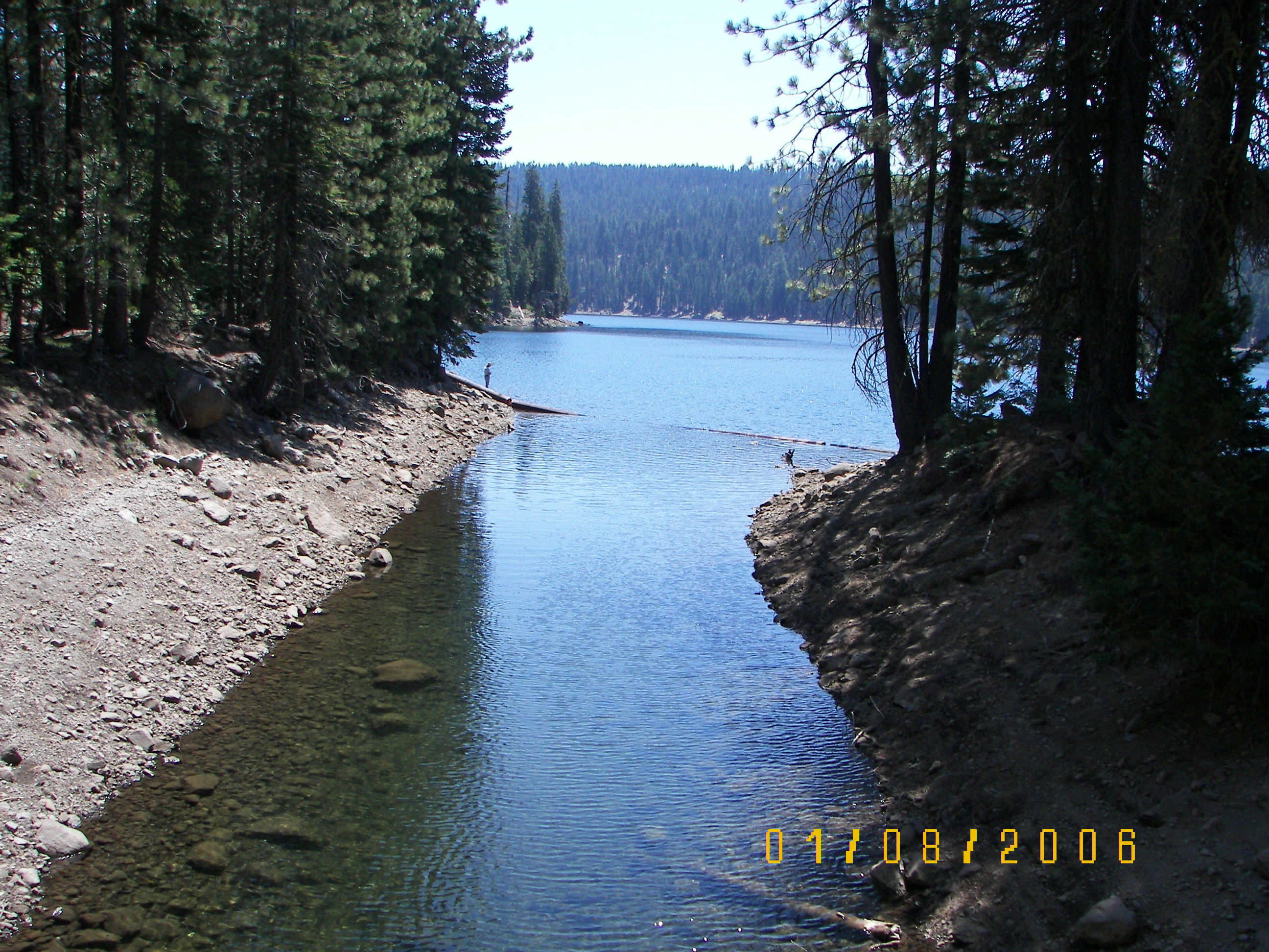
Creek entering lake near Burney Falls
Credit: USGS, 2006
Creek entering lake near Burney Falls
Photo Credit: USGS
Date Taken: 8/1/2006
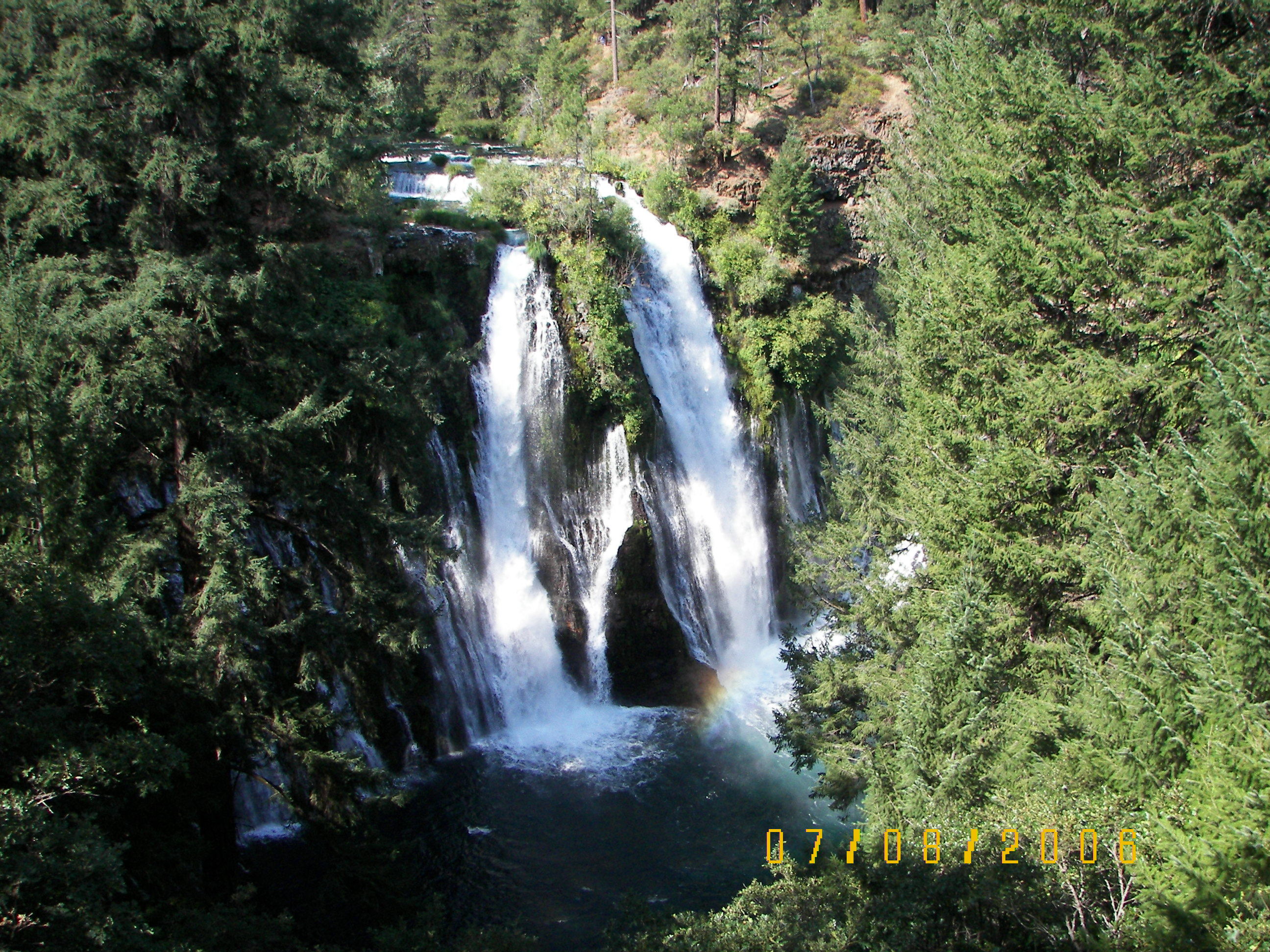
Burney Falls
Credit: USGS, 2006
Burney Falls
Photo Credit: USGS
Date Taken: 8/7/2006